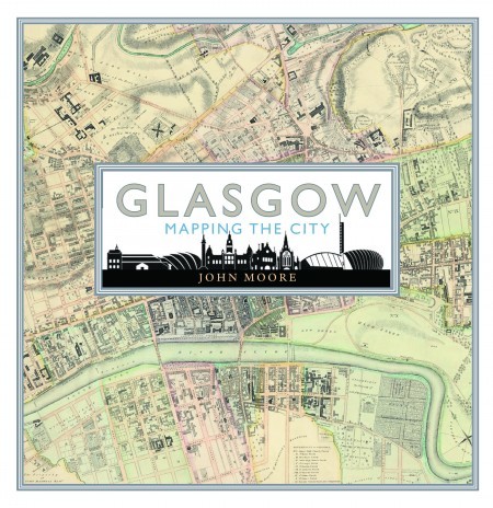
Hardback by Birlinn, £30
This fascinating book is based around 80 maps which illustrate how a town of little significance in the 16th century – same population as modern-day Huntly – grew into an industrial and commercial behemoth which earned it the title Second City of the Empire.
Key to this growth was the 18th-century dredging of the Clyde, which had previously been as shallow as 18 inches at the Broomielaw.
The “Horse Ford” linking Glasgow to the Gorbals in the 1764 map had vanished by the time the 1773 map was made, following dredging of the river.
Some of the maps are more political than geographical. The same 1764 map, actually a court document produced by a sawmill owner who was suing the council over a demolition order, illustrates the extent of corruption in local politics.
And a 1782 map is really a planning application, proposing “Glasgow’s first example of a deliberately planned development as a civic exercise” and showing for the first time George Square and surrounding streets, which were not yet even built.
Many of them shed light on particular themes in the city’s development. The 1884 map of Glasgow’s licensed premises (including 1,485 pubs) helps to explain both its No Mean City reputation and the astonishing rise of its temperance movement.
The “not for general sale to the public” warning on a 1938 Ordnance Survey map which minutely details Glasgow’s many heavy industry plants is explained by the next map: produced three years later by the Germans and highlighting the main military targets in a city which was building a quarter of the world’s merchant vessels.
The book’s large format does justice to the often highly detailed and colourful maps, whose significance is brilliantly explained by the author.

