With thousands of miles of stunning coastline and beautiful beaches, Scotland has much to be proud of.
However, sitting quietly among the villages and shores that are dotted around the edges of the map are numerous archaeological gems – many of which have been discovered by local people, familiar with the landscape and keen to preserve what they can of their community history.
The sea poses one of the greatest natural threats to coastal cultural heritage sites with an estimated £400 million worth of property and infrastructure at risk due to erosion.
Something needed to be done
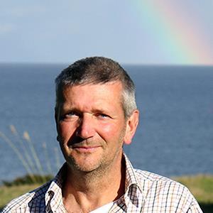
Recognising that action was needed, Tom Dawson, of St Andrews University School of History, set up Scottish Coastal Archaeology and the Problem of Erosion (SCAPE) over 20 years ago.
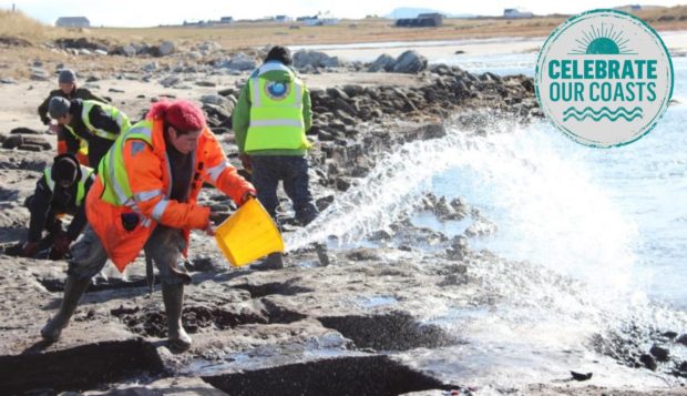
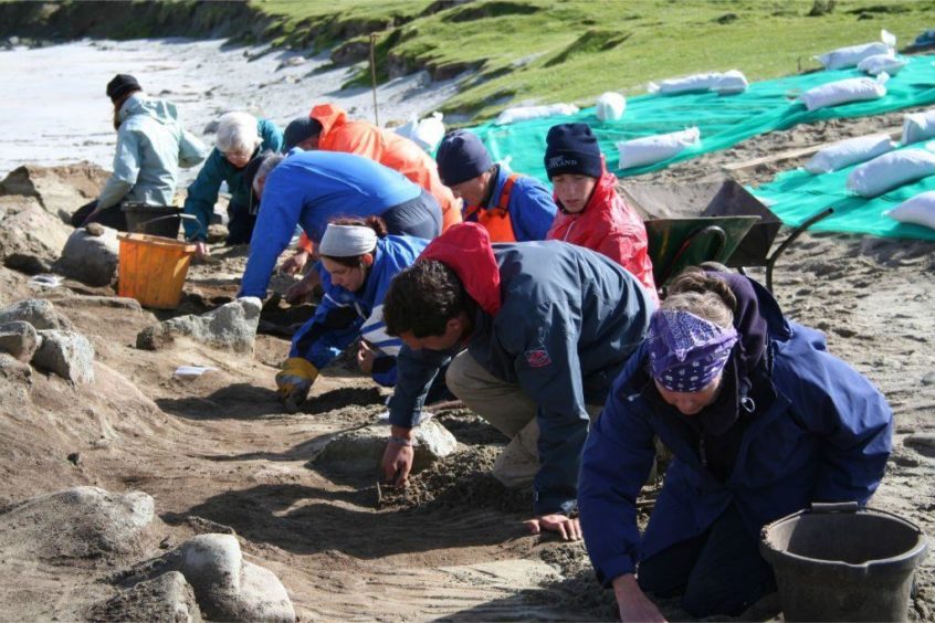
Working with Historic Environment Scotland, Shorewatch and communities, SCAPE managing director Tom and fellow researcher Joanna Hambly help empower volunteers to take action to record sites that are threatened due to human activity, development or natural events.
Giving an example of the fragile nature of coastal archaeology, Tom said: “There was an area of Baile Sear on north Uist, and looking at the maps there had probably been one metre of erosion in 50 years. And then in one night 50 metres was eroded.
“In the storm everything disappeared, and that’s the problem because we don’t know when those storms are coming.”
Key to keeping community history alive are local groups who are often in a position to act before the archaeology is lost

Joanna Hambly, of SCAPE, works closely with volunteers to preserve the past.Joanna said: “Volunteers and local residents are absolutely critical to our understanding of coastal heritage. There’s a lot of knowledge in communities but Historic Environment Scotland don’t know about it, we don’t know about it and so it’s not protected. We absolutely rely on residents to work with us.”
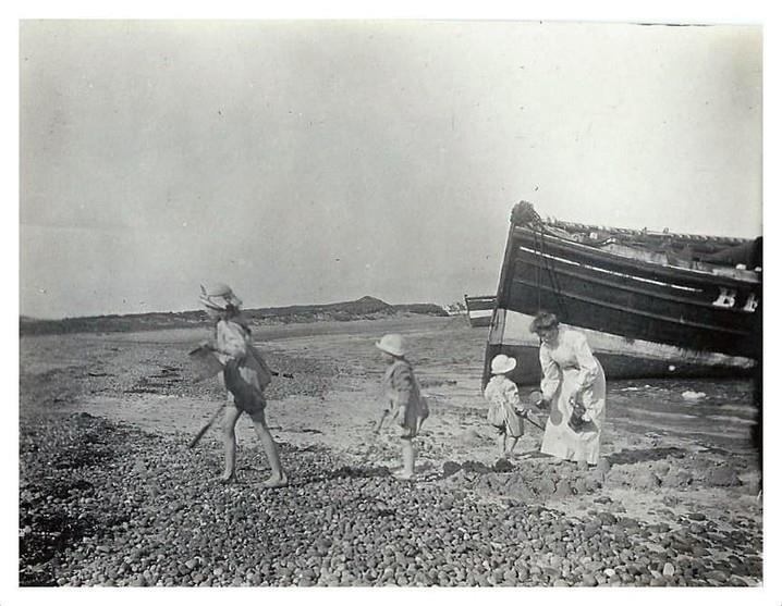
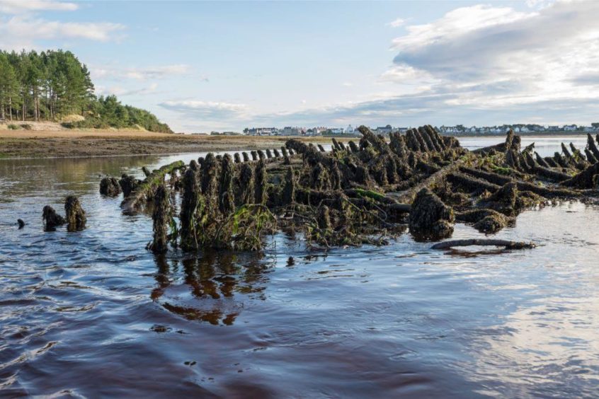
In fact, local people are often responsible for discoveries of national importance such as the Findhorn Bay fishing boat graveyard where the remains of at least 35 rare large wooden fishing boats lie – now recorded and documented thanks to residents Michael Sharpe and Tim Negus.
Other SCAPE projects require more specific local knowledge. After the discovery a few weeks ago of a submerged woodland at Calanais on Lewis, Tom admits that the local tongue played a part in understanding the site.
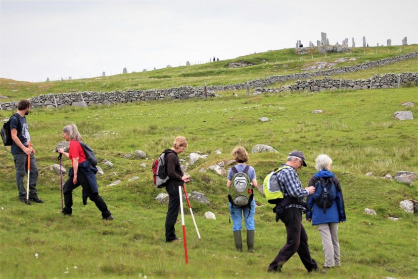
He said: “We were out with a group of local people and it was fantastic because they were all Gaelic speakers as well. So we would find something and they would look at the maps and explain to us exactly what everything meant.
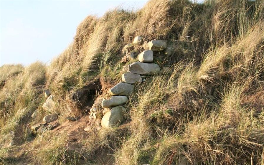
“We found some stepping stones, and they looked at the placename and said, ‘Ah well, so this is the bay of the ford,’ and that would explain to us what these stepping stones might be for.”
Scotland’s relationship with the sea and coasts provides a rich seam of coastal archaeology that outweighs inland sites.
Joanna said: “The sea has always been a good way of getting around. In a lot of northern Scotland, the weather is better, the soils are better, you have access to fish and seaweed, but it’s also about transport and communication. We’ve always had close links with mainland Europe across the sea so that’s why people preferred to settle at the coast.
“Scotland has a relatively low population compared to other coastal countries and so the development pressure has been relatively less, too.”
SCAPE’s work takes them across Scotland over a number of sites that often involve more than recording and documenting. In Brora, for example, SCAPE has helped construct a replica working salt pan which will be open for people to see and visit in a few weeks, thanks to the extent of community involvement in the project.
Despite having its roots in ancient history, SCAPE is also focused on technology and apps, and their uses to record the coastlines and erosion.
A week later suddenly you’ve found an entire broch that nobody knew was there before
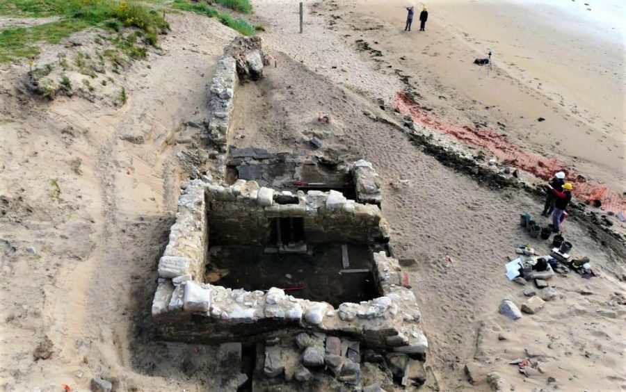
“It’s trying to see below the soil, that is proving quite difficult,” says Tom. “But I would say the main bit of tech that has really come on in leaps and bounds is drones, something that we use all the time, because they allow us to survey fairly large areas and the technology is such that we can make very accurate plans.
“It’s one of the things we’re interested in but we really think that the best thing is to have eyes on the ground to actually find the sites in the first place,” he adds.
“It’s only once the project starts that you get an idea of how amazing these sites are.
When you start you’ve only got three or four little stones showing up, and then a week later suddenly you’ve found an entire broch that nobody knew was there before.
volunteers are a fundamental part of that.”
The future for SCAPE and Scotland’s archaeology enthusiasts
“What we’re asking people to do now is go out and find new sites that haven’t been recorded – that is the new project,” says Tom – and Joanna assures that it’s worth the effort.
She said: “I can’t think of a single person that has ever been with us on a coastal walk or survey that hasn’t been completely drawn into it and loved it. Our website and app is like a little doorway of what’s in your local area. We all have many, many sites on our local coastline that are really interesting, and people can just go and discover them.”
SCAPE will be offering training for volunteers including how to undertake surveys. To get involved visit the SCAPE website, or to see what’s near you use the SCAPE interactive sites at risk map.
