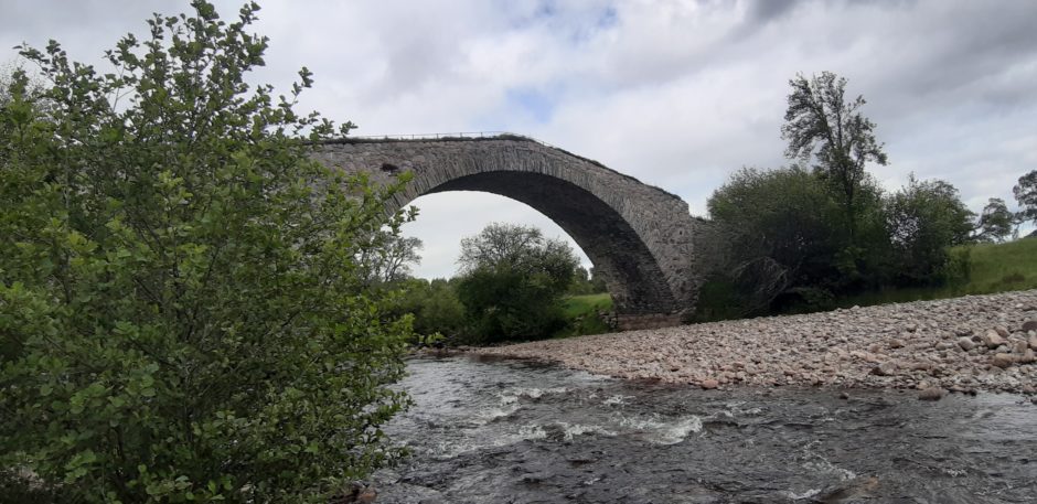
I paused at the apex of the steep arch of Sluggan bridge, gazing into the waters below, and taking in the tranquillity of my surroundings.
I was following one of General Wade’s military roads, built in the 1730s to help suppress further Jacobite risings in the Highlands. Once the main route from the south to Inverness, now only birdsong and the low clatter of the river broke the silence.
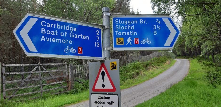
I had started from the Dalnahaitnach road from Carrbridge, where a track, signed “Cycle Route 7 Sluggan Bridge”, leaves the road on the right-hand side. There is parking for a couple of cars here, and space for two or three more around 300m further along the road. Be careful not to block access to the gates.
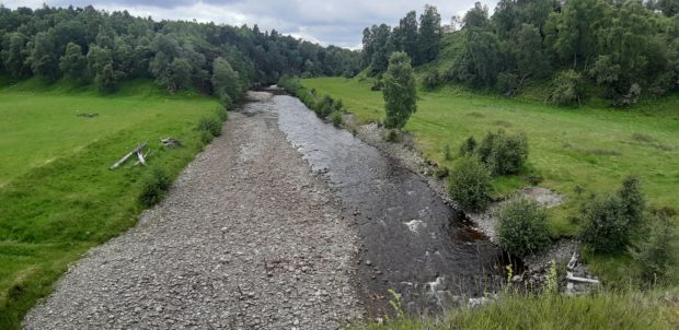
It was fairly late on a cloudy afternoon, but the earlier showers had passed and I was looking forward to stretching my legs. The track meandered through pleasant birch woods, and after a couple of minutes I caught my first glimpse of the river Dulnain, down through the trees to my right.
Soon Sluggan bridge came into view. This magnificent stone-built structure arches high above the waters of the Dulnain, rising at an improbably steep angle. It was hard to imagine how those heavily laden carts made it up the incline. Even today it’s a bit steep for most cyclists.

My route ahead rose through birch and pines, with banks purple with early blooming heather. After a couple of ups and downs the views opened up to my left-hand side, ahead to the broad glen of the Dulnain, and behind me a glimpse back to the northern corries of Cairn Gorm.
Two kilometres from the bridge a track joins from the left at a sharp angle. This runs down through Inverlaidnan to a bridge and makes for a good shortcut back to the car if required.
I continued straight ahead. Just past Insharn, where the cycle route turns right uphill, I passed straight on through a gate and across an old stone bridge to another junction. I turned left, along another good track, rising gently. Although there a few other tracks joining along this section, just remember to keep left at every junction after Insharn and you won’t go wrong.
I paused under a twisted and ancient granny pine, as a pair of stone-chats flitted across the moorland beside me, with their unmistakable clicking call, then followed the track gently downhill. After passing through a couple of wooded areas, I reached a junction with a wider track. Here stands a memorial to a former well-known resident of this area, Ian Beg MacAndra, or “little” John MacAndrew, if you prefer. MacAndra was a noted archer, and there are tales of him seeing off raiders from neighbouring clans.

The left turn at this junction leads back to the bridge at Inverlaidnan, and on to the start point. However, I wanted to extend my walk a bit further, so I turned right, initially on the crest of the rise looking down towards the Dulnain, then descending to the grassy riverside haugh. The track converges with the river, and rises into a stand of pine trees. From here, it continues up the glen, joining the Burma Road (built by prisoners of war) which runs over the hills to Aviemore. This was as far as I had time to go that day, so I turned for home, taking a higher and slightly rougher track directly back to the MacAndra memorial.
From there, the track descends slightly through the woods before passing through a gate and emerging on to farmland. On reaching the Inverlaidnan track, I turned right and soon crossed the Dulnain to rejoin the road for the 15-minute stroll back to my car.
