Start from the car park one mile north of the Kylesku Bridge. This is the starting point for several walks and was provided by the Duke of Westminster, who owns the estate.
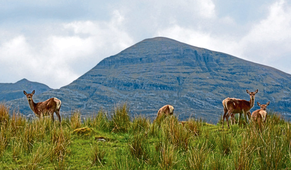
I stayed overnight in my campervan and enjoyed the company of several red deer plus a superb view of Quinag.
I had arranged with a walking buddy who lives nearby to set off early, so at 8am she arrived, complete with midge hood, which thankfully was not needed.
Turn right on leaving the car park, go through the rather posh gate and walk down the tarred road past the Duke’s Sutherland residence. This leads to the old slipway for the now unused Kylesku ferry and makes a good diversion at the start or finish of the day.

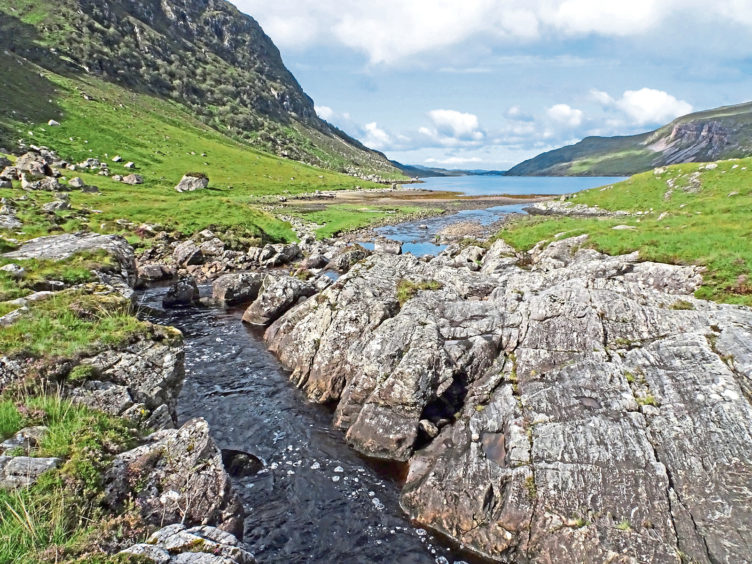
However, the real walk begins just beyond the well-built garden wall, where a 4×4 track goes off to the left. From now on, follow closely the shore of Loch Glendhu.
From 1943, these waters, along with adjoining Loch Glencoul, were used to train the crews of miniature X-craft submarines before going to Norway, where they successfully disabled the German battleship Tirpitz.
A memorial just north of the bridge pays tribute to the 39 crew who died and the local people “who knew so much and talked so little”.
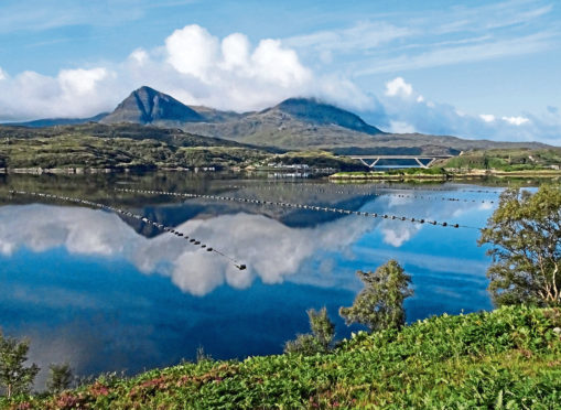
As you walk, look to the right and slightly behind for superb views of the Kylesku Bridge and the village of Kylesku, backed by Quinag.
On the morning we went, the bridge was bathed in sunshine and looked magnificent. Opened in 1984 by the Queen, this greatly improved access to the far north-west of Scotland by replacing the ageing ferry crossing.

About halfway along, you reach the Maldie Burn waterfall and a small power station.
It’s worth stopping for a moment to appreciate the views back to Kylesku and Unapool, which sits close to the shore at the entrance to Loch Glencoul.
Behind them, the huge mass of Quinag (the milking pail) dominates the skyline. Consisting of five peaks, three of which are classed as Corbetts – Sail Gharbh being the highest at 808m – Quinag is said to offer some of the best hill walking in Scotland, with views of Suilven, the Assynt peninsula and Ben Strome.
Further on, after a couple of miles, the bothy and the steep slopes of Glendhu will come into view. The bothy is available to all as a shelter and maintained by the Mountain Bothy Association.
If visiting during the deer stalking season (August 12 to October 20), the estate requests intending visitors phone them first. It’s a great place for a picnic before returning, or as an overnight stop before walking further into the glen.

To return, simply retrace your steps. And remember to stop periodically to admire the views.
The route
- Location: Ceum path, Loch Glendhu.
- Route: Start at the car park off A894, one mile north of Kylesku Bridge, GR 218346.
- Map used: OS Landranger no 15.
- Distance: Nine miles on good track.
- Wildlife: Yes, so dogs best kept under control.
- Facilities: None at car park, nearest food at Kylesku Hotel.
