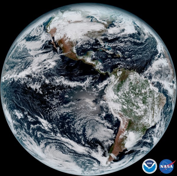
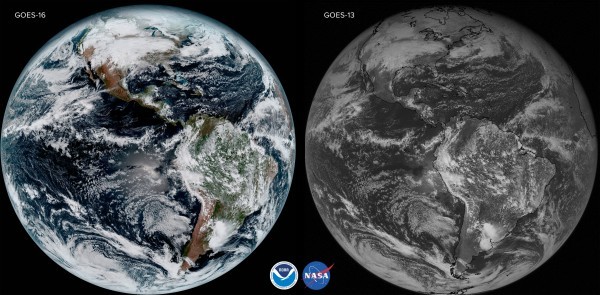
Stunning new high-resolution images of the Earth have been beamed down to Nasa from their latest satellite.
GOES-16 went into space in November and is orbiting 22,300 miles above the Earth.

The National Oceanic and Atmospheric Administration (NOAA), which is in charge of US environmental research, called the pictures “high-definition from the heavens”.
The director of the NOAA’s Satellite and Information Service, Stephen Volz, compared the new images to seeing a newborn baby’s first pictures.
“It’s that exciting for us,” he said.
The satellite isn’t just up there for aesthetically pleasing pics though – it should help meteorologists predict the weather more accurately.
The high resolution of the pictures, taken of the US every five minutes and of the Earth every 15, will allow scientists to pinpoint and predict extreme weather patterns.
Photos can be taken of volcanoes, hurricanes and wildfires every 30 seconds if need be.
The satellite’s multiple channels, recording infrared as well as visible light, can help forecasters tell the difference between clouds, smoke, ash and dust.
“The fantastically rich images provide us with our first glimpse of the impact GOES-16 will have on developing life-saving forecasts,” said Volz.
