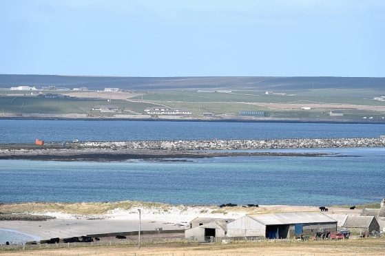
Inspections have found deterioration on the road surface on one of Orkney’s Churchill Barriers.
The discovery has prompted a 40mph limit to be introduced from next week on the first barrier linking Lamb Holm and the Orkney Mainland.
A detailed 3D scan of the barrier is also due to be carried out later this month to assess for further damage.
Darren Richardson, Orkney Islands Council’s head of infrastructure, said: “We carry out regular road surface condition inspections every three months as part of the council’s roads management maintenance plan.
“For some time, we have been planning a specialised survey of the first barrier, which will produce a detailed 3D picture of the road surface. This is due to be carried out later this month.
“In preparation for the 3D survey, we recently undertook an additional and detailed visual inspection. From this we could see that there has been a progressive and recent deterioration of the road surface on part of the barrier.
“The level of deterioration is such that we need to ask drivers to take greater care when crossing the causeway.
“As a result, we have taken the operational decision to introduce an advisory speed limit of 40mph on the first barrier. We will be putting up signs next week that advise drivers to keep to this speed limit and be aware of the uneven road surface.”
Information from the 3D survey will be used to draw-up options to address the problems.
Lane closures will be needed while the 3D survey is taking place.
The barriers are a series of causeways which were built in the 1940s to protect ships anchored in Scapa Flow after a German U-boat was able to enter the harbour and sink the HMS Royal Oak.
Now they carry the A861 road from Kirkwall to Burwick on South Ronaldsay.
