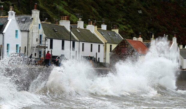
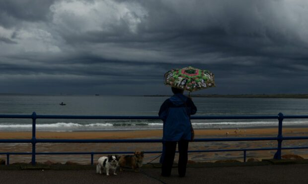
After a blissful week of relatively mild weather in the north and north-east, wintry blasts and strong winds are expected to hit the region at the weekend.
Forecasters have warned residents to expect travel disruption as winds of up to 80mph hit the north of Scotland first before unfurling across the rest of the country.
But how will this affect the north and north-east?
Here’s everything you need to know about the frosty weather forecast looming ahead:
When is the weather warning coming into effect?
The Met Office has issued a yellow warning for wind, which will come into effect on Friday at 11pm and is expected to last right through until Saturday at 6pm.

The strongest winds will arrive across northern Scotland during Friday afternoon before developing further south through the evening across the rest of Scotland, Northern Ireland and some exposed coasts of northern England.
On Saturday, spells of strong winds will further spread across the more southern parts of the UK, however, they will tend to slowly ease from the north during the afternoon.
Although the location and strength of the gusts remains uncertain, the meteorological body has warned they are likely to reach 50 to 60 mph in most parts of the country, with 70 to 80mph in coastal locations.
What to expect as the weather warning hits
The Met Office has warned there could be some travel disruptions over the weekend as the strong winds sweep across the region. These include:
- Some delays to road, rail, air and ferry transport are likely.
- There is a slight chance of some damage to buildings, such as tiles blown from roofs.
- There is a small chance that some roads and bridges could close.
- There is a slight chance that power cuts may occur – with the potential to affect other services, such as mobile phone coverage.
Are you noticing the change in temperature?
Several shots of Arctic air are on the way to the UK later this week as the jet stream dips southwards bringing much #colder and wetter weather
Strong #winds may bring some disruption by the weekend with #snow possible in places ⚠️ pic.twitter.com/Ks1FIu3leg
— Met Office (@metoffice) November 23, 2021
What to do during strong-wind storms – choices and planning ahead
- If you can, choose main roads, where you are less likely to be exposed to fallen branches and debris and flooding.
- Gusts of wind can unsettle vehicles – grip your steering wheel firmly with both hands. This is particularly important when planning to overtake.
- Keep an eye out for gaps between trees, buildings or bridges over a river or railway – these are some of the places you are more likely to be exposed to side winds. Ensure that you maintain enough room either side of your vehicle so you can account for it being blown sideways.
Read more:
