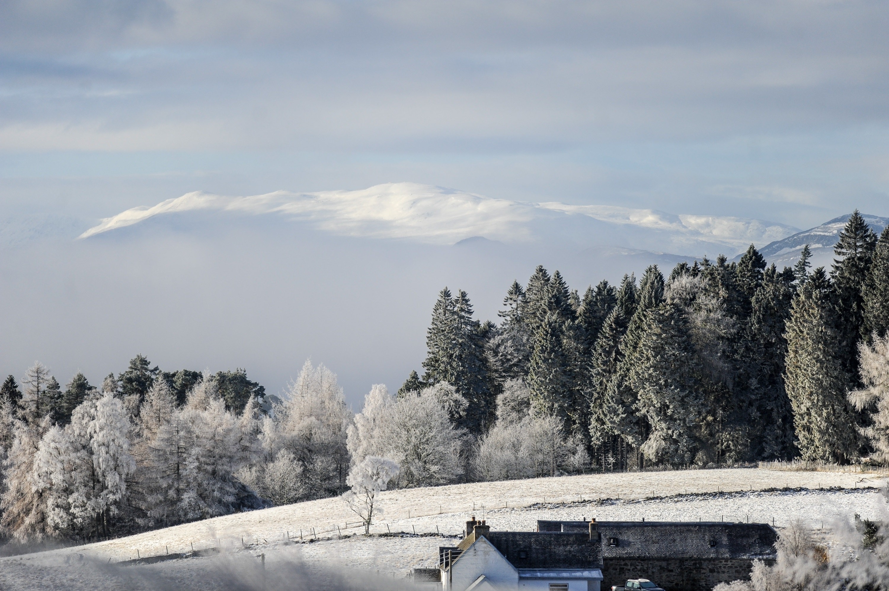
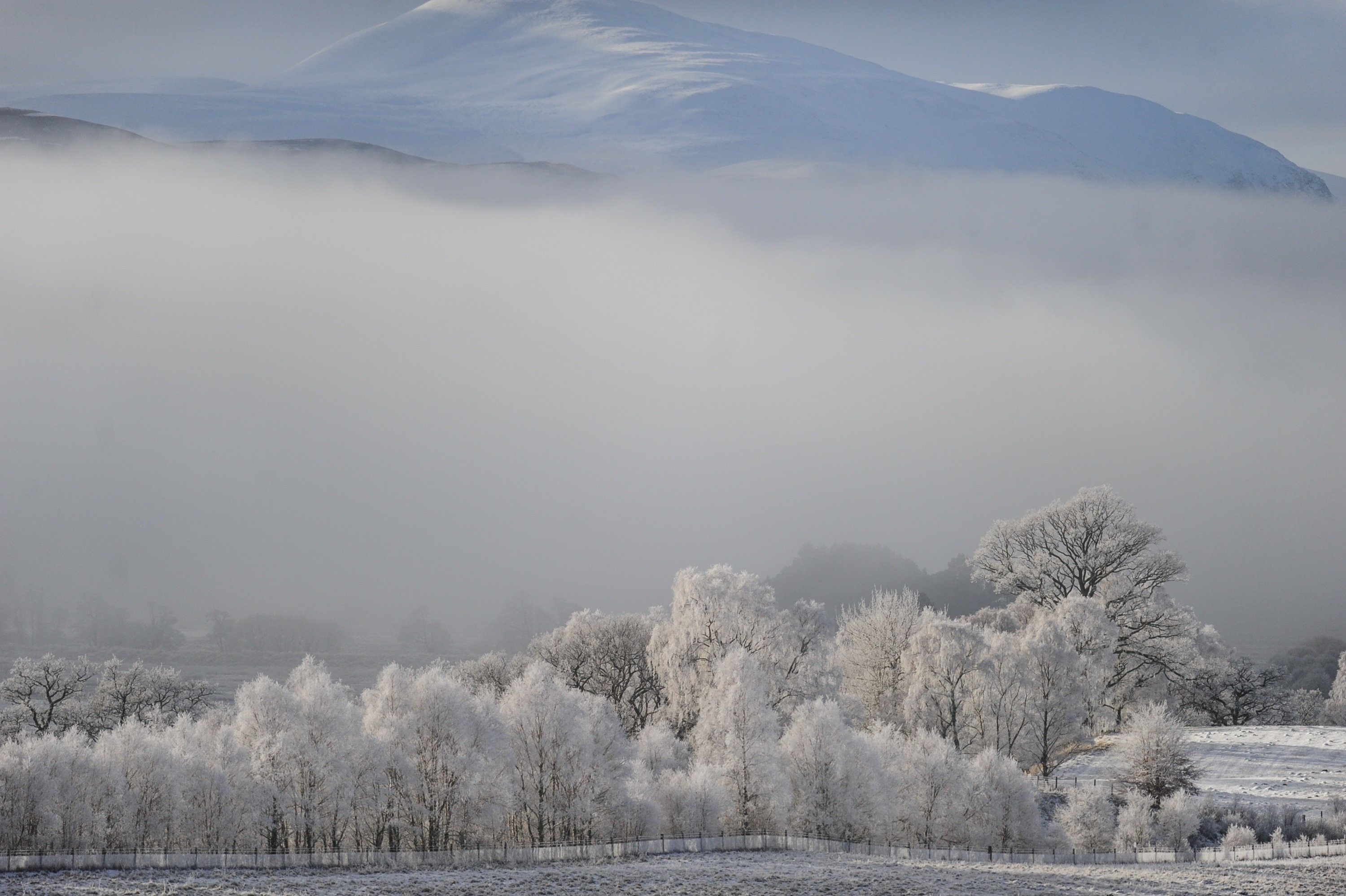
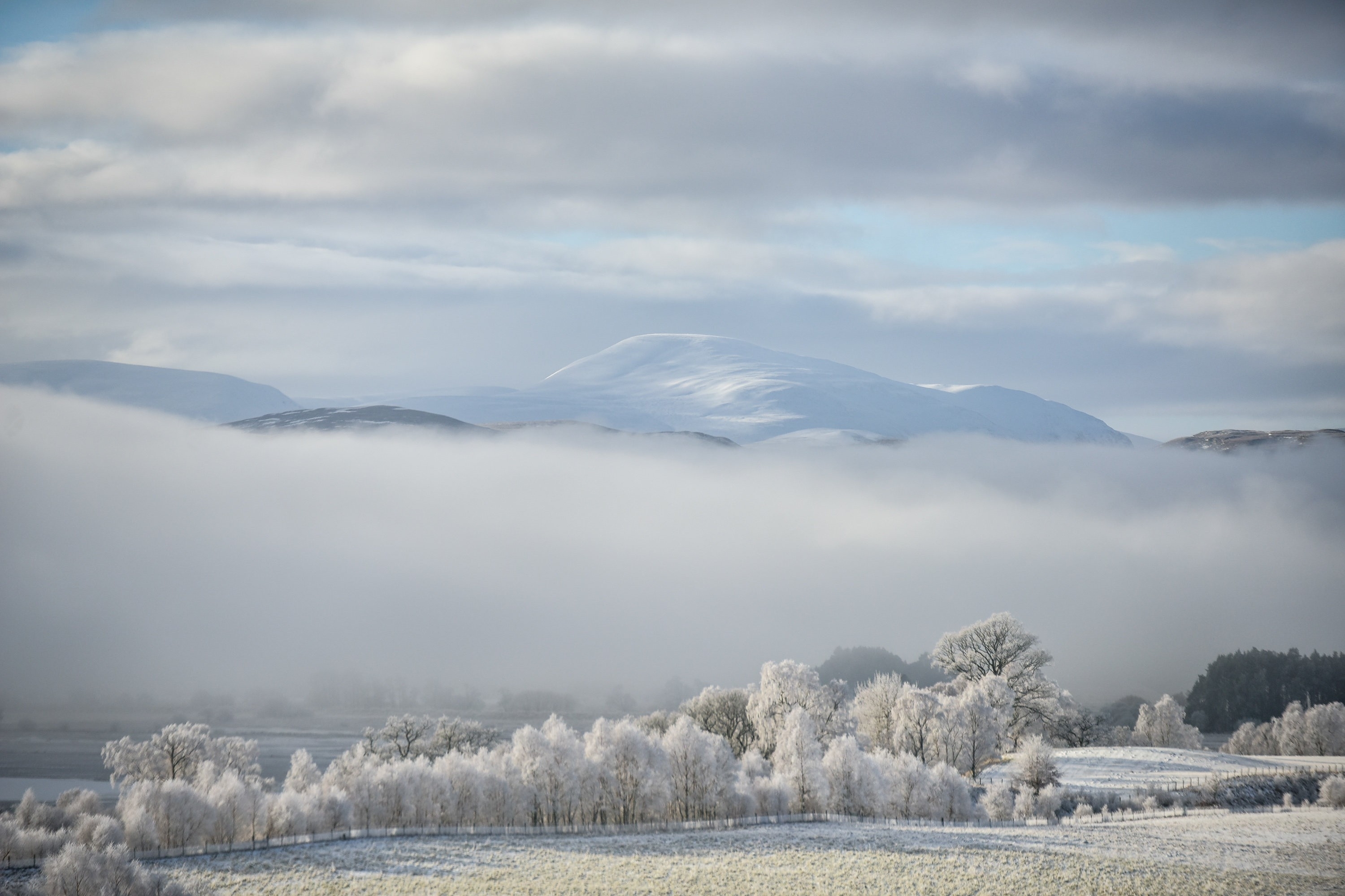
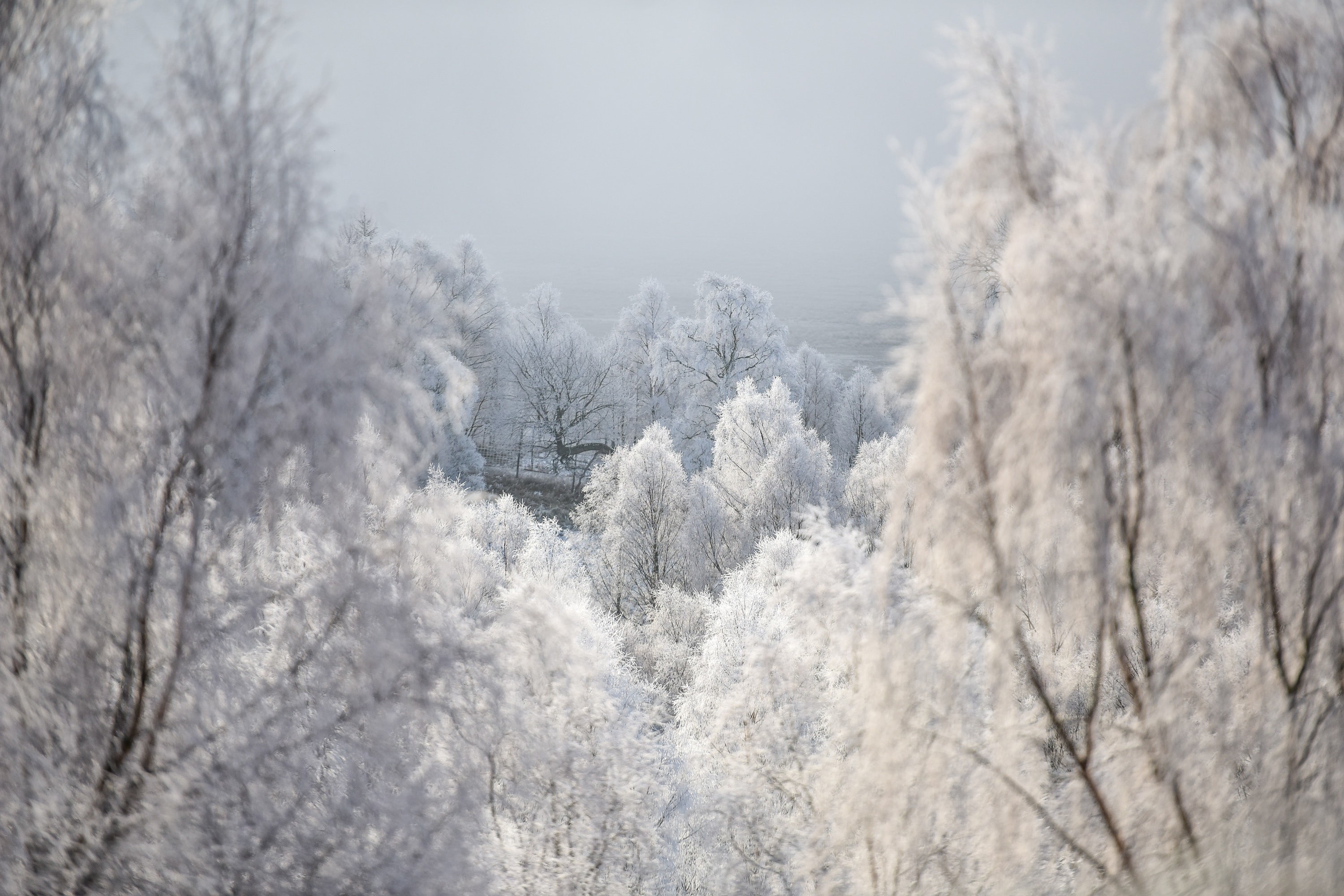
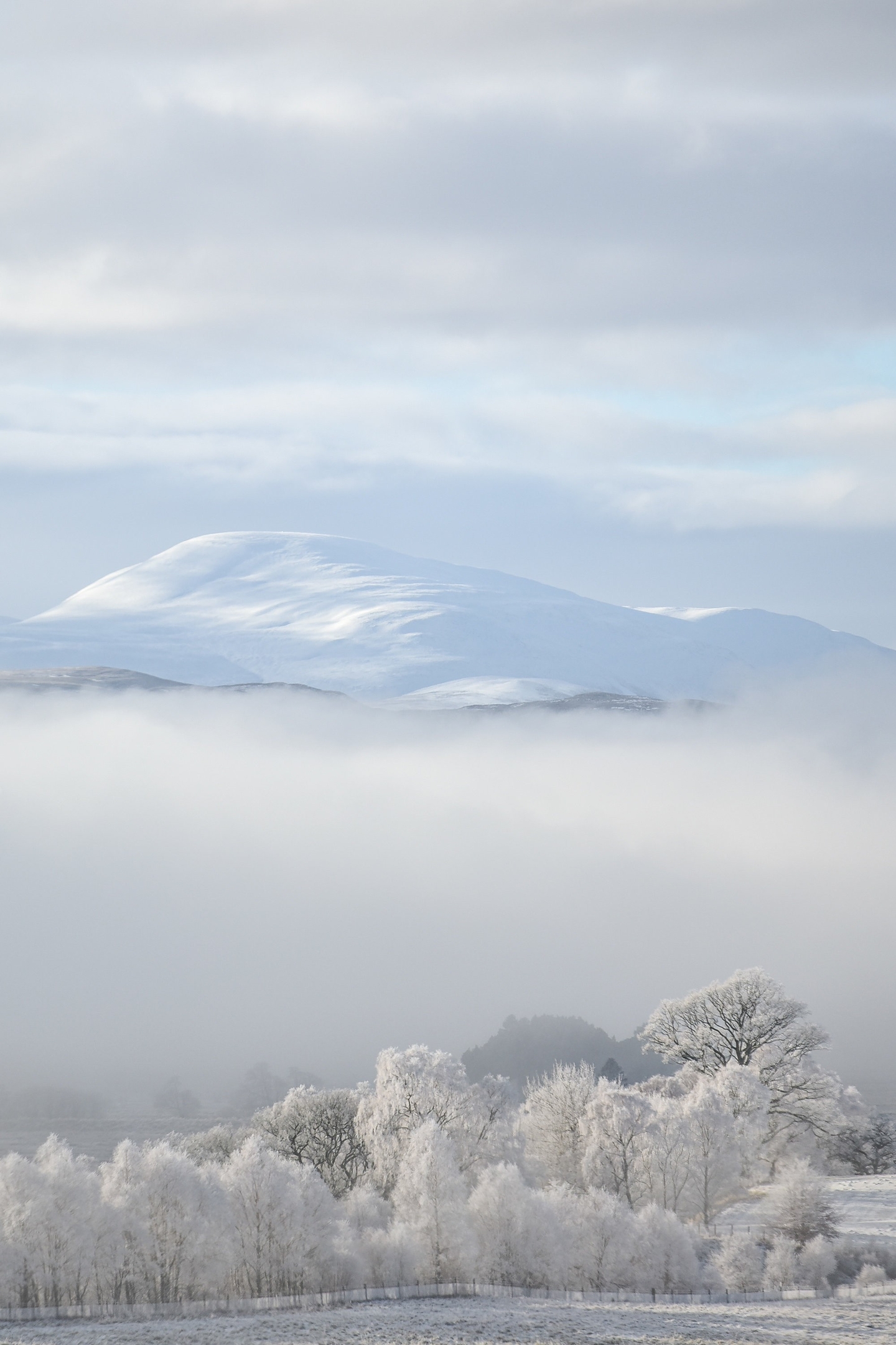
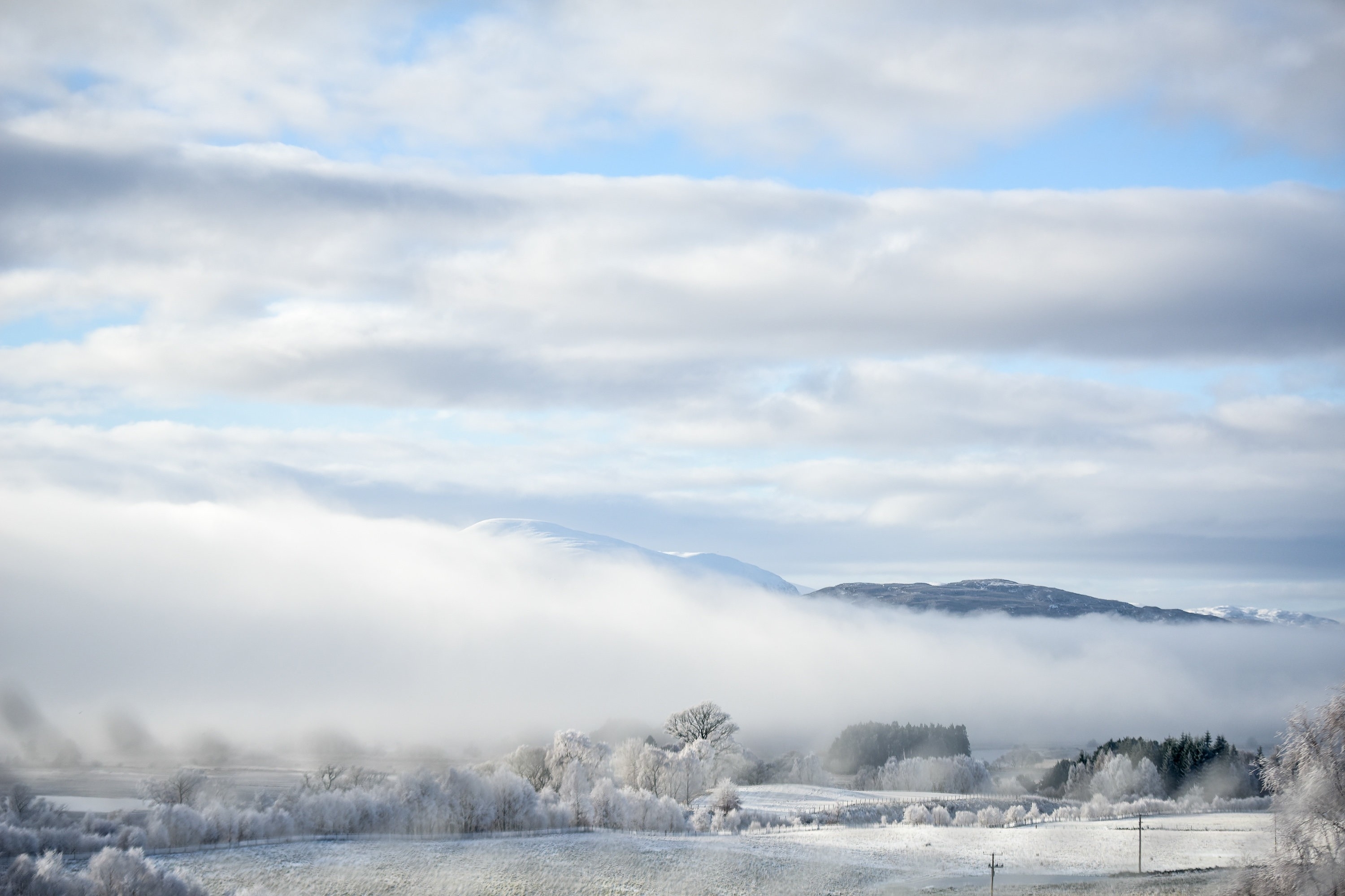
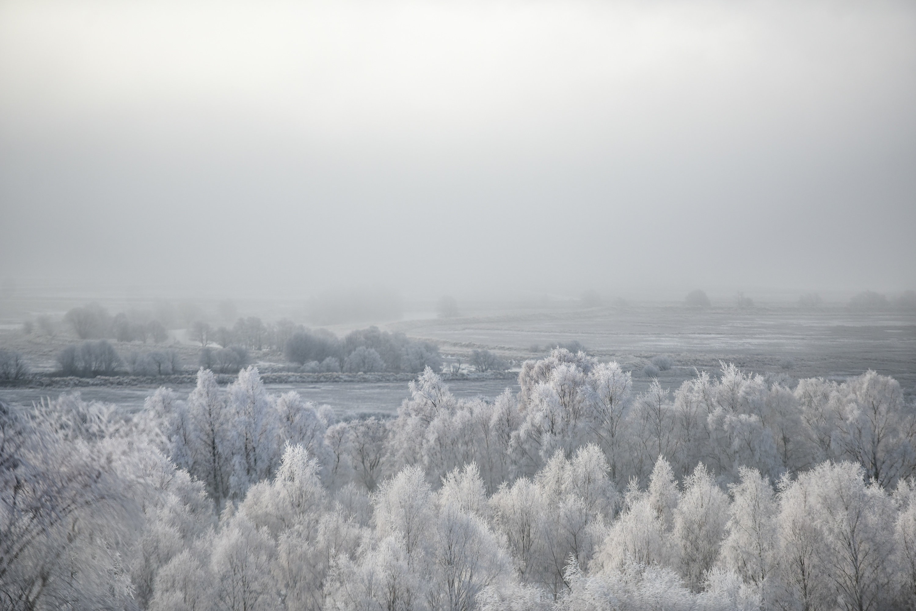
Last night and this morning’s wintry blast across the north of Scotland has caused traffic problems and increased journey times, but it’s also made for some spectacular scenery.
Snow covered trees and fields line the Spey Valley near Aviemore, Highland.
Many parts of Scotland woke up to below zero temperatures.
Meanwhile the Met Office has issued a Yellow ‘be aware’ Warning for snow in Grampian and the Highlands.
A Met Office statement said: ” Rain, sleet and snow over northern Scotland will move slowly and erratically southwards across much of central Scotland early on Saturday and to parts of southern Scotland as the day goes on. Some locally heavy outbreaks of snow are likely over high ground and also to lower levels, mainly inland. In addition, icy surfaces are likely, particularly on Friday night and into Saturday morning.
“Drier conditions should slowly follow into the Central Belt of Scotland on Saturday afternoon.
“The public should be aware of difficult travelling conditions and the risk of some transport disruption due to both snow and icy surfaces.
“There remains some uncertainty in the details and this warning will be updated as required.
“A front over northern Scotland will move slowly and erratically southwards on Friday night and during Saturday. This will bring outbreaks of mainly rain and sleet over eastern coastal areas but with snow falling to lower levels inland. 5 cm is likely to accumulate above around 200 m and 10 cm or more above 400 m, with 2 to 4 cm likely locally at low levels. The greatest risk is across Perthshire, Kinross and Stirlingshire from the early hours of Saturday until mid-morning, then across Lothian and the Borders from mid-morning onwards. Some snowfall is also expected at lower levels elsewhere away from the immediate coastal fringe, but accumulations here should be mostly limited to around 1 cm.
“A frost will also develop on Friday evening before rain, sleet and snow spreads south and this will lead to the risk ice as this falls onto frozen surfaces in places.”
