A team of scientists has completed an 88-mile adventure along the River Dee to help illustrate the environmental challenges faced by the waterway and those who depend on it.
Scotland’s Centre of Expertise for Waters (Crew), the James Hutton Institute and the Dee Catchment Partnership teamed up to undertake the extensive journey all the way from the mountains of the Cairngorms National Park to the mouth of the river at Aberdeen Harbour by hiking, cycling and canoeing.
Rachel Helliwell, manager at Crew, and Marc Stutter, the catchment partnership’s chairman, recorded their three-day trip for a special video to better highlight the pressures on Scotland’s water environments such as climates, land use and changes in demographics.
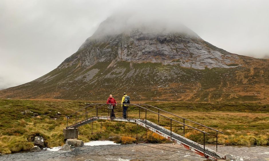
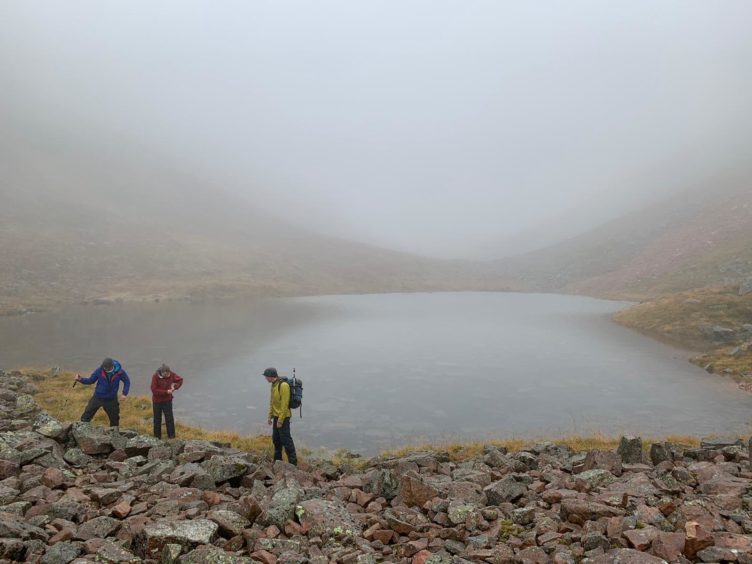
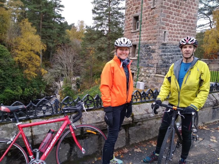
The pair hiked from the Pools of Dee, one of the sources of the mighty river in the mountainous upper reaches of Aberdeenshire where the region borders the Highlands, to Braemar before cycling east to Park Bridge near Drumoak.
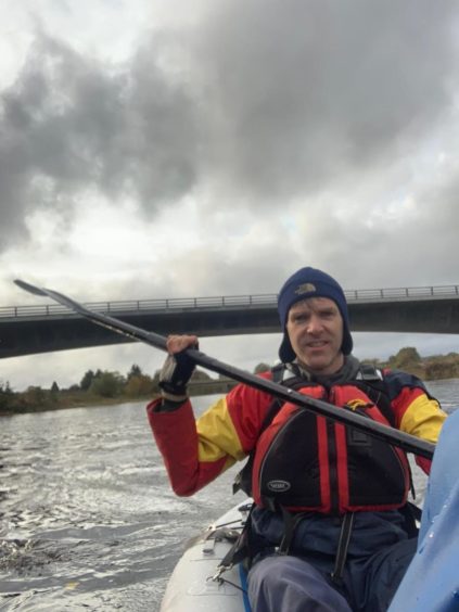
After arriving at Park Bridge, they then canoed the rest of the way to the harbour.
Ms Helliwell said: “It was a great adventure.
“We wanted to describe the catchment from the source to the mouth, how the river changes along its course, how the various pressures on the river change along that journey.
“In the mountains, we discussed climate change and the impact of less snow on river flows and temperatures and as we cycled through the middle reaches of the catchment we addressed topics such as forestry and land management. In the lower reaches we discussed the importance of agriculture, increased development in response to population pressures, and flooding.”
She added: “We really wanted to get across the different perspectives gleaned from travelling along the river at a slow pace, and inspire a curiosity in the Dee and its catchment.”
While the scientist’s adventure took three days, it is estimated water takes just 24 hours to flow all the way from the Cairngorms to the North Sea, 88 miles away.
The expedition also marked Scotland’s Year of Coast and Waters.
Mr Stutter added: “The river essentially has three zones, which mapped quite neatly onto the three days we spent travelling it, using different modes of transport.
“We were keen to show the connections between the top and bottom of the river, and that issues at the bottom of the catchment depend very much on what happens at the top.”


