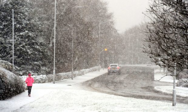
Storm Christoph is expected to bring strong winds and rain across the region this week.
The Met Office updated its yellow weather warning for snow and ice from 6pm today in Orkney and Shetland, until 10pm tomorrow.
Across Grampian and most parts of the Highlands, a warning for snow has been put in place from midnight on Thursday until 11.59pm the same day.
In Aberdeen, the council’s gritters have been out tackling primary routes since 4am after road surface temperatures hit -4C.
A band of rain associated with Storm Christoph will push in from the northeast, turning readily to snow.
⚠️ Yellow weather warning issued ⚠️
ICE for Shetland and Orkney ❄️
Tuesday 1800 – Wednesday 1000
Showers falling onto sub-zero surfaces will lead to #icy stretches this evening, overnight and into Wednesday morningLatest info 👉 https://t.co/QwDLMfRBfs
Stay #WeatherAware⚠️ pic.twitter.com/yQsQngbXqh
— Met Office (@metoffice) January 19, 2021
A statement from the forecaster said: “Along north facing coasts and particularly north Aberdeenshire, the precipitation will stay as rain with widely 20mm (0.78ins) to 30mm (1.18ins) of rain falling during the period and a few sites perhaps seeing around 50mm (1.96ins).
“In addition, strong winds will develop through Thursday with gusts of 60mph along the north facing coasts perhaps an additional hazard.
“These stronger winds will also lead to very poor conditions where snowfalls with blizzard conditions at times over higher ground.
“Inland from the coast with wet snow likely this may lead to icing on infrastructure, such as power lines.
“Widespread travel disruption is expected with a chance of travel delays on roads with some stranded vehicles and passengers, along with delayed or cancelled rail and air travel.”
The Met Office is also warning to potential power cuts and a drop in mobile phone coverage meaning some rural communities could become isolated.
