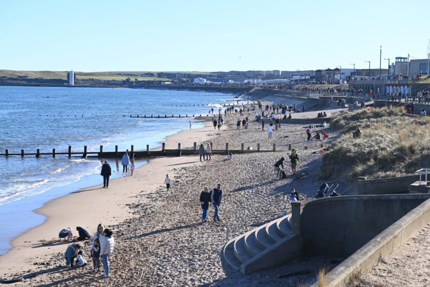
Aboyne registered the second-highest temperature in the UK today as much of the north-east basked in unseasonably warm weather.
The mercury hit 19.3C in the Aberdeenshire village, with 17C recorded in Aberdeen.
Above average highs of 14C are expected tomorrow before a cold front knocks temperatures back down to more usual single-digit highs ahead of the Easter weekend.
Met Office spokesman Oli Claydon said: “Only Bridlington in Humberside had a milder temperature as of 1pm today.
“It warmed up as we saw clouds break in the east. The wind direction meant something called the foehn effect coming into play in Aberdeenshire.
“That’s where colder wind going over hills can cause warmer air on the downstream side of hills.
“This is helping pep up the temperatures along with the greater exposure to sun.”
Today’s temperatures are well above average for Aberdeenshire.
March usually sees an average high of 7.1C and April enjoys highs of 9.6C.
Heavy rain and flood warnings
Elsewhere in the north of Scotland, temperatures are looking a bit more normal.
And while Aberdeen enjoyed a mild afternoon, Inverness was being hit with downpours.
Further west, a severe weather warning for rain remains in place until Wednesday at 9am.
The affected area covers parts of Lochaber, Wester Ross and Skye.
⚠️ Yellow weather warning update ⚠️
Rain across western Scotland
Extended until 0900 Wednesday
Latest info 👉 https://t.co/QwDLMfRBfs
Stay #WeatherAware ⚠️ pic.twitter.com/pZ6pGY1ScT
— Met Office (@metoffice) March 29, 2021
The north-west Highlands saw around 3.1 inches of rain over the weekend.
Stornoway and Lerwick had much more typical days for this time of year, with both towns only reaching highs of 9C today.
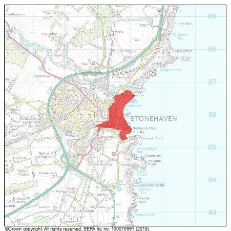
The Scottish Environment Protection Agency (Sepa) has also issued a series of flood warnings for different parts of the north-east.
It’s an altogether different story in England, as warm weather coincides with a major easing of the country’s lockdown measures.
The sunny spells are coming in just as the stay at home order ends.
Groups of six people, or two households, can once again meet outside.
Return to cooler temperatures
Mr Claydon said much cooler temperatures are on the way this weekend and into next week.
He said: “The warmer weather will stick around until Wednesday and the highest temperature is expected in London, where we could see 24C.
“Then a cold front moves north-east to south-west on Thursday, opening the door for some cooler air which will bring the temperature down.
“By the time we get to Sunday, more cool air will bring another change and I’d expect to see a fairly unsettled start to next week with potentially wintry showers moving in.”
What is the foehn effect?
It is a change from wet and cold conditions on one side of a mountain, to warmer and drier conditions on the other.
Foehn winds are common in mountainous regions, regularly impacting the lives of their residents and influencing weather conditions for hundreds of miles downwind.
Their notoriety has led to recognition by a multitude of names including: the Chinook or “snow eater” of the North American Rocky Mountains; the Zonda of the South American Andes; and the Helm wind of the English Pennines.
The most notable foehn winds in the UK tend to occur in the Highlands.
Moist prevailing westerly winds encounter high ground along the west coast, resulting in a marked contrast in conditions when the west is subject to wet weather while the lower-lying east enjoys warmth and sunshine – like the case is today.


