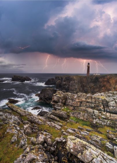
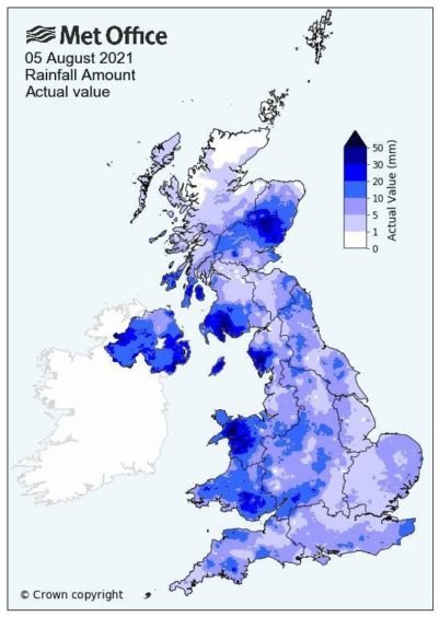
In the last week, the north-east has been issued no less than four yellow weather warnings for thunderstorms.
With their eyes to the sky, residents dutifully checked apps and websites offering an alluring hour-by-hour weather forecast with precise timings for when the heavens will open.
But not a single one of these big predicted storms materialised. So why are these precise forecasts seemingly so unreliable?
North-east weather defies prediction
According to Craig Snell, a meteorologist at the Met Office, thunderstorms are one of the trickiest areas of forecasting.
“One aspect is that UK thunderstorms are quite small compared to the likes of those in America,” he said.
⚠️𝐖𝐞𝐚𝐭𝐡𝐞𝐫 𝐮𝐩𝐝𝐚𝐭𝐞: North-east issued with fourth yellow warning for thunderstorms in less than a week https://t.co/Umug3PZcGb pic.twitter.com/IC6qhbV3l2
— The Press & Journal (@pressjournal) August 10, 2021
“It can be raining cats and dogs but two miles away is bone dry. And when these intense showers are small, they are usually short lived. So 15 minutes later, it’s like nothing ever happened.”
In a nutshell, it means these localised summer storms can be difficult to track and predict.
Craig compares forecasting them to boiling a pan of water on the stove. You know it’s going to boil, but you can’t predict where the bubbles will rise from.
“When we have a showery day, we can say ‘the models tell us these areas are most likely to have storms’, but our technology isn’t quite there yet to pin point exactly where.” Hence the yellow weather warnings for the entire north-east of Scotland.
Why is my weather app always wrong?
Generally speaking, forecasting is more accurate than ever. But mobile apps have developed a bit of a reputation for disagreeing with what you can see from your kitchen window.
“People ask: ‘why does my phone always say it’s raining?’ and the answer is because these apps don’t measure the exact spot your standing in,” Craig said.
Instead they use an automated service which takes data from a randomly allocated spot, known as a grid point, somewhere nearby.
“Your phone might be linked to a grid point at the top of the Cairngorms,” Craig said. “And that’s fine if that’s where you are, but it’s probably not the most accurate for measuring Aviemore.
“Apps also don’t learn the locality in the way humans can, so don’t adjust their predictions.”
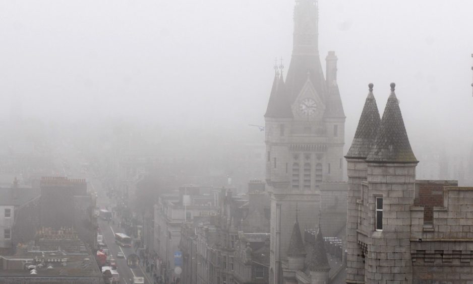
The famous east coast haar is a good example.
What causes Aberdeenshire’s haar?
At the beginning of summer each year, a thick sea fog usually descends on the Aberdeenshire coast.
While its scorching in Banchory, Cove and Stonehaven are shivering in a wet mist.
“It’s a well-known occurrence,” said Craig. “The east coast of Scotland is plagued by low cloud so as soon as there is any hint of wind from the east, we know this fog is going to hit land.”
Another phenomenon localised to the north of Scotland is what is known as the foehn effect.
This is when winds from the south are pushed up over mountains and down the other side. As the wind travels in this way, it warms up and dries up.
“Wherever the wind goes becomes a sweet spot for weather,” Craig explains, “and usually means it’s one of the warmest places in the UK.
“In the meteorological world, it’s well-known to be common across the whole Moray Firth area.”
Science of the future
The four yellow weather warnings issued over the last week may have come to nothing, but residents in regularly flooded spots like Ballater will have breathed a sigh of relief that the forecasts were wrong this time.
Hot air holds more moisture and warming global temperatures mean that extreme rainfall events are set to become more regular across the north and north-east.
“The science is there to say that these types of thunderstorms will become more common,” said Craig.
“But as time goes on, our technology will improve and our pin pointing will improve, so hopefully we will be able to say with more accuracy where they will occur.”
So next time the forecasts predict an infuriating day “of sunshine and showers”, we’ll be all the more glad when the showers never quite arrive.


