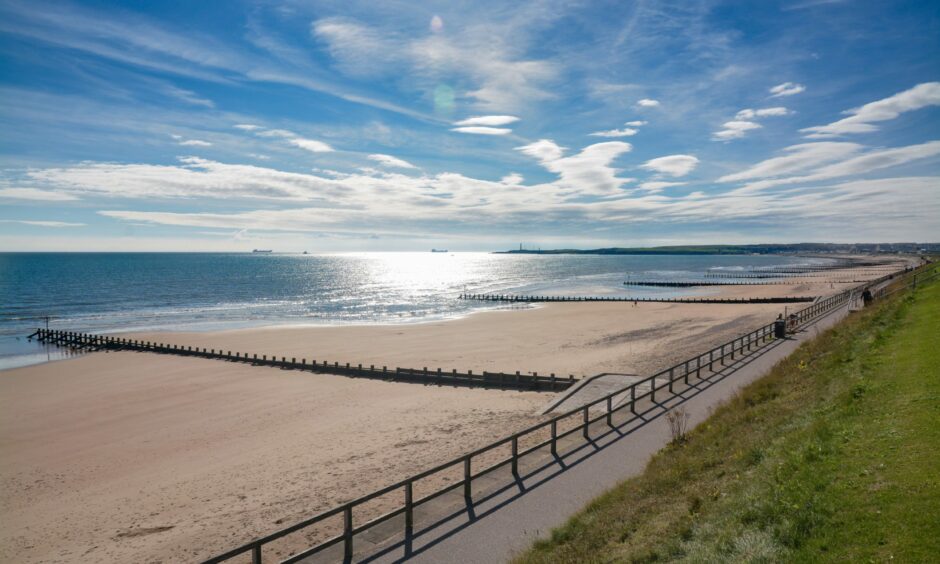
Temperatures in the north-east are due to be among the highest in the UK today with highs of up to 23C possible.
The reading is about 8C warmer than the average for late September.
Met Office experts have attributed the unseasonably warm weather to the Foehn Effect.
What is the Foehn Effect?
The Foehn Effect is the process that makes one side of a mountain or range of hills much warmer than the other.
It begins with the way the air behaves when it hits the ridge.
When humid air collides with the slopes it is forced upwards, which makes it cool and forms clouds and rain.
With another 10 days to go, this month is on track to be one of the #warmest Septembers on record 📈 ❗
Temperatures are running around 3 degrees Celsius above average in many areas and today will be no exception 🌡️
Feeling unseasonably #warm where it stays #sunny ☀️ pic.twitter.com/NhUFTIKDaV
— Met Office (@metoffice) September 21, 2021
That process gives the air some energy and as the moisture is lost through rain, heat is gained.
The warmer air then descends on the sheltered side of the mountain amidst clear skies with the moisture gone, which allows more heat to be gained from the sun.
Turbulence from strong wind at the peak of the mountain also adds further heat to the mix.
And the result is bonnie weather for those on the other side of the ridge.
Where is the best of today’s weather?
The best of today’s weather is expected to be enjoyed in Aberdeen and the north-east corner of Aberdeenshire.
The Met Office is forecasting highs of 21C in Aberdeen, Fraserburgh, Peterhead, Ellon and Oldmeldrum – with 23C potentially possible.
Meanwhile, the rest of the north and north-east should enjoy warm temperatures and clear skies in the high teens.
It makes the north-east the warmest part of the UK today while also rivalling temperatures in Barcelona, Monaco and Ibiza.
However, do not expect the weather to last with strong winds and rain expected to arrive on the west coast on Tuesday evening and sweep across the north and north-east on Wednesday morning.

