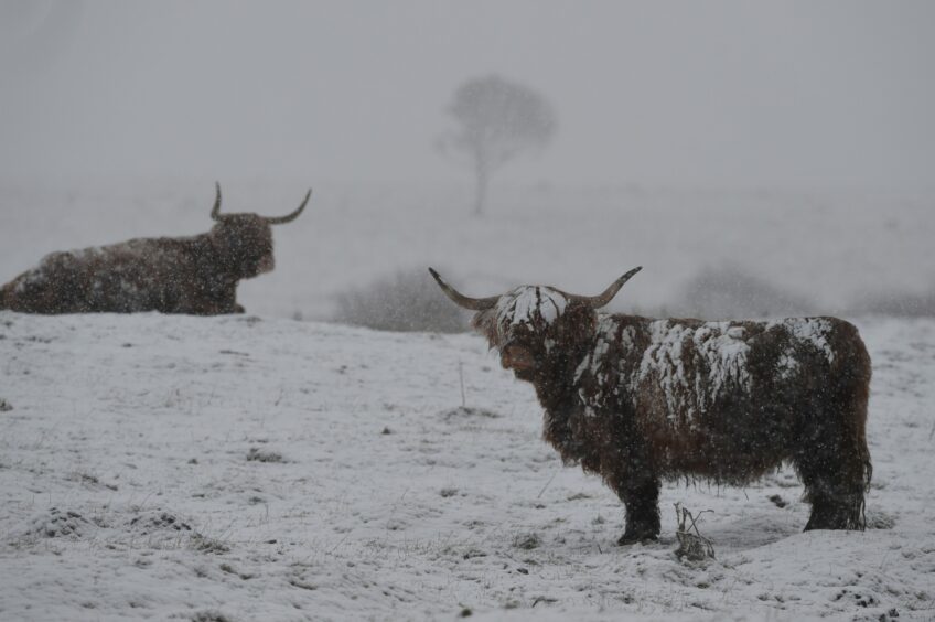
Forecasted heavy snow from Storm Eunice is already causing travel disruptions across Aberdeenshire, Moray and the Highlands.
The Met Office has issued a yellow weather warning for heavy snow in the north and north-east that is in place until 6pm today.
Storm Eunice comes only a day after Storm Dudley swept across the UK with high winds and is the sixth named storm the UK has experienced this winter.
Several travel routes have been disrupted by snow in the north of Scotland and many schools are closing in preparation for the extreme weather.
Travel affected by Storm Eunice
While the south of England is facing amber and red weather warnings for wind, the north of Scotland is more concerned with heavy snowfall.
ScotRail has cancelled all trains from Aberdeen to Montrose and services from Inverness to Glasgow and Edinburgh are using fewer carriages due to earlier weather disruptions.
Travel disruptions from Storm Eunice are expected until midnight and travellers are being asked to check journeys in advance.
⚠️ #StormEunice THREAD: There's some slight changes to trains tomorrow (18 Feb).
Central Belt – Aberdeen inter-city trains will run as normal, but local Glasgow/Edinburgh – Arbroath trains won't run north of Dundee.
Local Montrose – Aberdeen trains won't operate either. 1/3 pic.twitter.com/V6yAAcFf9h
— ScotRail (@ScotRail) February 17, 2022
Three ferries have been cancelled today. CalMac has suspended ferries from Berneray to Leverburgh, the Oban, Colonsay, Port Askaig and Kennacraig route and also Oban, Coll and Tiree.
Several flights from Aberdeen International Airport have also been cancelled with a few flights from London with British Airways and Easy Jet no longer running. This could be due to the amber and red weather warnings in place in the south of England.
Roads affected by snow
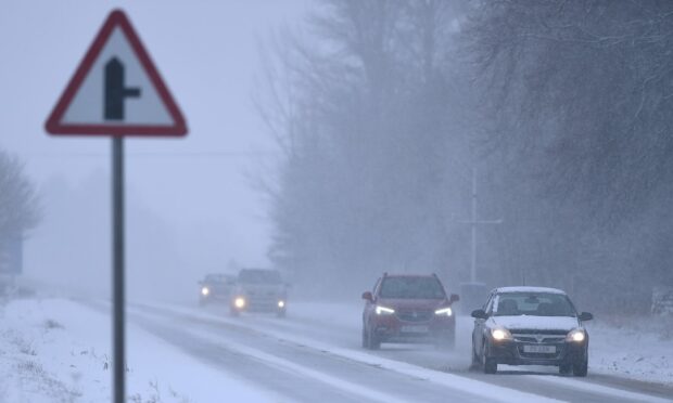
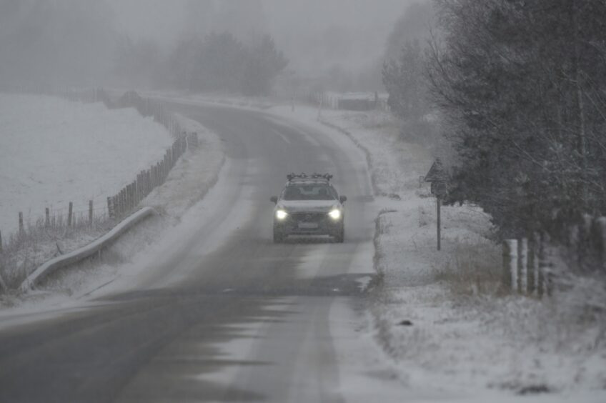
Many roads have reported heavy snow in the north. Drivers have been warned of lots of snow on the A9 near Drummochter on Good Morning Scotland today.
Snow falling this morning in the North❄️
Please do #takecare when travelling and #DrivetoConditions https://t.co/QkK3pP4mtu
— Traffic Scotland (@trafficscotland) February 18, 2022
The snow gates on the B974 Banchory to Fettercairn road at Cairn O’Mount has been closed. Snow gates have also been closed on the A93 between Braemar and the Spittal of Glenshee.
The A82 at Glencoe has been confirmed as reopened.
In Aberdeenshire, Police has reported the road between Blackburn and Westhill as badly affected by snow. The road, known as ‘Woggle Road’, is currently impassable for the majority of vehicles. Drivers are being encouraged to use an alternative route.
The A90 Aberdeen Western Peripheral Route is closed from the junction with the A956. The southbound carriageway at the A947 junction is also currently closed. Both closures are due to jackknifed lorries at junctions.
The roads around Fraserburgh and Banff are reportedly getting worse by the minute and an accident on the Kemnay to Inverurie road has caused traffic to be at a standstill.
The Highland Council is warning drivers of ice and snow on many of the roads. Roads at Caithness are affected by ice and frozen slush causing patches of dangerous black ice.
Many roads around Badenoch, Strathspey, Nairn and Lochaber are reported to be affected by heavy snowfall with other areas affected with frost and ice.
The are also “considerable” risks of avalanches in mountains in Scotland. Scottish Avalanche Information Service (SAIS) has advised people to select their routes carefully and to assess hazards in advance.
Photos of the main road from Fort William to Mallaig show lots of snow building up on the route at Glenfinnan.
In Aberdeen, several cars have crashed at the road into Countesswells from Kingswells roundabout. The road coming out of Westhill towards Kingswells is blocked due to stuck vehicles.
Cars and vans are also getting stuck on Springhill Road when turning off of Provost Fraser Drive. Traffic at Kirkhill Industrial estate is at a complete standstill and Dyce Drive is blocked in both directions.
Several lorries and cars are stuck on Parkhill back road beside the junction leading to the Bridge of Don and Queens road through Hazelhead is a complete stand still at the moment.
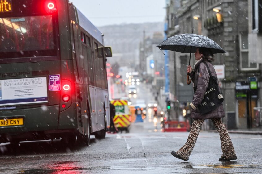
Aberdeen City Council announced that Storm Eunice appears to be being pushed more northwards meaning the snow might be replaced with sleet and rain in the city. More snow is expected after lunch though.
Gritters are active throughout the city as the rain earlier today washed away any grit put down overnight.
People are being urged to stay at home unless travel is absolutely necessary today and to stay up to date with the latest warnings.
SEPA have issued several flood warnings for the south-west of Scotland and high winds are expected later today on high ground across the country.
Images captured from Storm Eunice across the north
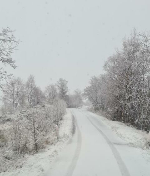
Many people have been capturing the snowy scenes sweeping across Scotland.
Many roads have seen ice and lots of the white stuff building up with councils sending out teams of gritters to try and stay on top of the snowfall.
While the snow alone is not an unknown problem faced in Scotland, the warning of strong winds on higher grounds later today could cause a lot of snow to drift. Forecasters are warning this could create more disruptions on roads and public transport.
Many flights going to and from North Sea oil and gas installations have been already impacted by the gale force wind warnings. A lot of flights have been cancelled or delayed with some citing “triggered lightening” as the reason.
Snow joy 😊 ❄️@forresacademy1#snow #snowangels #FridayFeeling #Scotland #weather #forres #moray pic.twitter.com/bTnVZyfB8Q
— Emma Matthias (@HSLW_Emma) February 18, 2022
Speyside Sports and Community Centre in Moray has also had to close today due to the weather.
Could be the worst storm in over 30 years
The Met Office has issued a rare red weather warning in the south of England who is expected to bear the brunt of the stormy weather.
Storm Eunice is being described as an Explosive Cyclogenesis, better remembered as a ‘weather bomb’. The term describes when a low pressure storm builds very quickly.
The #JetStream is a fast moving ribbon of air, several miles above the earth's surface #StormEunice is under a powerful part of the jet stream, where winds are close to 200 mph and this will help #Eunice to rapidly strengthen during the next 12-24 hours as it crosses the UK pic.twitter.com/UiqADXVJAz
— Met Office (@metoffice) February 17, 2022
Gusts of wind are being forecast to reach up to 90mph in exposed coastal areas where red and amber weather warnings are in place in England.
Many forecasters are saying it could be the worst storm the UK has seen in over 30 years.
Have you been affected by Storm Eunice? Please contact us on social media and let us know what the weather is looking like where you are.
