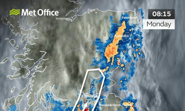
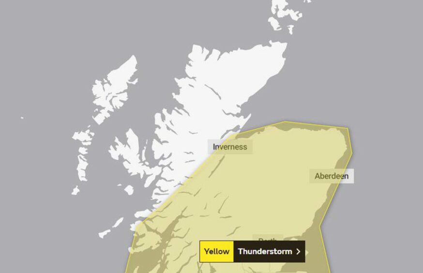
A thunderstorm has been spotted heading for the north and north-east.
Heavy rain and thunderstorms are expected to sweep across Aberdeenshire and Moray after days of sunshine and heat.
The Met Office has issued a yellow warning for heavy downpours, which could lead to potential flooding and travel disruption across the region.
A large thunderstorm, with lightning and heavy rain, will move steadily NE over the next hour or so.
Most likely just to the W of Edinburgh, but causing difficult driving conditions for the morning rush hour.
A yellow thunderstorm warning is in force – https://t.co/1DvkZ4y7bg⚠️ pic.twitter.com/WNvtFWuz2K
— Met Office – Scotland (@metofficeScot) August 15, 2022
Met Office give warning
The Met Office has warned:
- A small chance that homes and businesses could be flooded quickly.
- Some buildings could be damaged from floodwater, lightning strikes, hail or strong winds.
- A chance of delays and some cancellations to train and bus services.
- Spray and sudden flooding could lead to difficult driving conditions and some road closures.
- There is a slight chance that power cuts could occur and other services to some homes and businesses could be lost.
The thunderstorm warning will be in place all day Monday. It has not currently been issued for Tuesday.
Rainfall could lead to more flooding
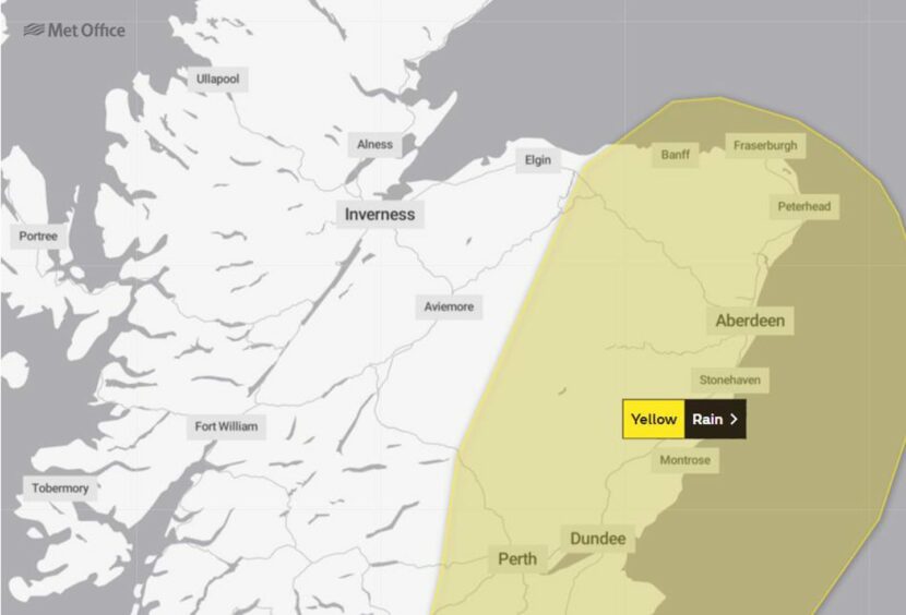
However, the Met Office has also issued a yellow rain warning for Aberdeenshire, Aberdeen and part of Moray – beginning on Tuesday.
They have warned:
- A small chance of fast flowing or deep floodwater causing danger to life.
- A small chance that some communities will become cut off by flooded roads.
The heavy rainfall has already caused some disruption to the north of Scotland.
On Sunday, a large Tesco in Inverness had to be evacuated after its roof caved in due to severely heavy rain.
The Scottish Environment Protection Agency (Sepa) had warned of heavy thundery downpours on Monday could lead to flooding in more areas.
Large thunderstorms were spotted heading over Ben Wyvis in Easter Ross on Sunday evening.
More like a scene out of the US than Scotland, incredible capture 📸 https://t.co/WPLycGfqLc
— Met Office (@metoffice) August 14, 2022
The risk of flooding is considered particularly high as the ground conditions are currently very dry due to the scorching weather in recent days. This makes it difficult for the water to drain into the ground as it normally would.
Sepa has issued alerts for most parts of north Scotland – including Aberdeen, Aberdeenshire, Moray and the Highlands.


Conversation