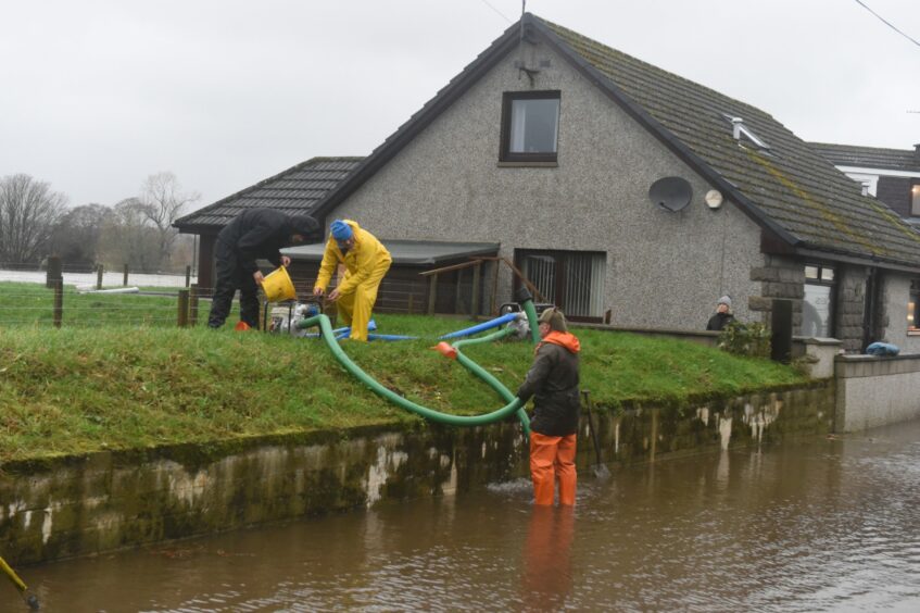
Drone footage captured by our photographer shows the true scale of the floods in the Kintore area – two days after the River Don burst its banks.
Kintore was one of a number of communities left under several feet of water on Friday.
Homes and businesses were evacuated as torrential rain wreaked havoc on the area.
Neighbouring communities of Kemnay and Inverurie experienced similar conditions.
Roads and rail services were also brought to a standstill as widespread flooding left many routes impassable.
Two days on, communities are still battling to restore order.
Footage captured by Press and Journal photographer Kenny Elrick today shows the scale of flooding in the Kintore area.
Fields surrounding the Aberdeenshire town have been left completely submerged.
The footage shows very little has changed in the area in recent days, as large parts of the area remain waterlogged.
Similar conditions were captured by Network Rail Scotland’s air operations helicopter on Saturday.
The aerial shots, published on their social media page, highlighted the scale of flooding on the Aberdeen to Inverness railway line between Kintore and Dyce.
Rail services between the cities have returned to normal.


Conversation