The yellow weather warning for snow and ice has been extended until noon on Sunday – making it now the longest weather warning the Met Office has ever issued.
The warning for the north and north-east was initially due to end on Friday, but more cold temperatures have forced it to be extended.
Having started on Wednesday at midnight, the warning is expected to last a full four days and 12 hours in its entirety.
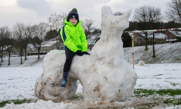
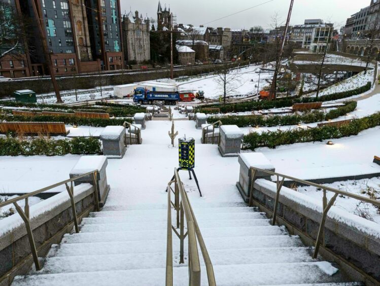
The first widespread snow of winter arrived early today – causing travel disruption and closing schools across the north of Scotland.
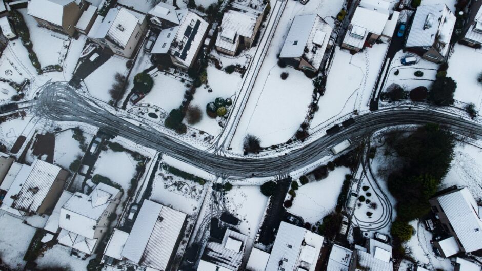
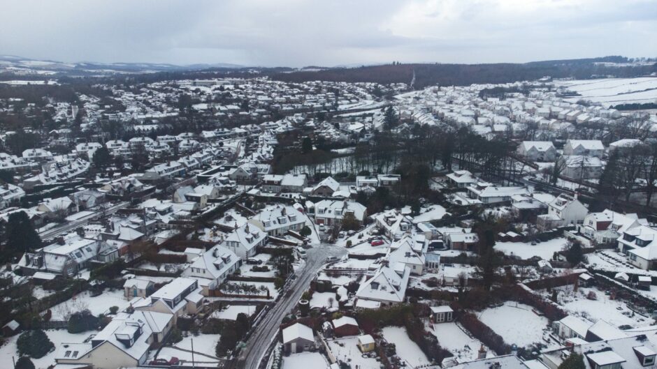
Forecasters are warning of up to another three inches of snow fall overnight, with many residents across the region waking up to a decent covering this morning.
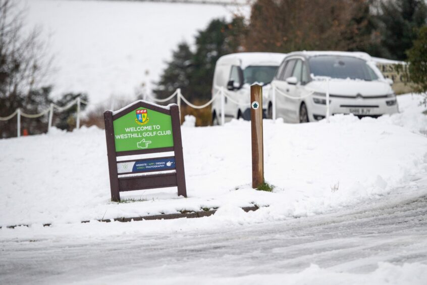
Multiple schools were closed on Thursday and Westhill Academy in Aberdeenshire has already announced a delayed opening on Friday.
People living in the Highlands, Islands, Moray and Aberdeenshire can expect disruption to continue over the next few days.
Temperatures forecast
Temperatures have dropped in the past few days and are forecast to stay low into the weekend.
Coastal walkers and wild swimmers have been reminded of the risks of being in or around bodies of water when it is so cold.
Here are the most recent “feels like” temperatures forecast where you are:
Aberdeen
- Lows of -4C and highs of -1C on Thursday
- Lows of -3C and highs of -1C on Friday
- Lows of -2C and highs of 0C on Saturday
- Lows of -3C and highs of 0C on Sunday
Inverness
- Lows of -3C and highs of 0C on Thursday
- Lows of -3C and highs of 0C on Friday
- Lows of -3C and highs of 0C on Saturday
- Lows of -3C and highs of -1C on Sunday
Elgin
- Lows of -4C and highs of 0C on Thursday
- Lows of -3C and highs of 0C on Friday
- Lows of -2C and highs of 0C on Saturday
- Lows of -6C and highs of -2C on Sunday
Aviemore
- Lows of -5C and highs of -1C on Thursday
- Lows of -6C and highs of -1C on Friday
- Lows of -4C and highs of -1C on Saturday
- Lows of -8C and highs of -3C on Sunday
Fort William
- Lows of -3C and highs of -1C on Thursday
- Lows of -3C and highs of 0C on Friday
- Lows of -3C and highs of 0C on Saturday
- Lows of -4C and highs of 0C on Sunday
Fraserburgh
- Lows of -3C and highs of 0C on Thursday
- Lows of -2C and highs of 0C on Friday
- Lows of -1C and highs of 0C on Saturday
- Lows of -4C and highs of 0C on Sunday
Thurso
- Lows of -3C and highs of 0C on Thursday
- Lows of -2C and highs of 0C on Friday
- Lows of -1C and highs of 0C on Saturday
- Lows of -4C and highs of 0C on Sunday
Kirkwall
- Lows of -3C and highs of 0C on Thursday
- Lows of -2C and highs of 0C on Friday
- Lows of -2C and highs of 0C on Saturday
- Lows of -1C and highs of 1C on Sunday
Lerwick
- Lows of -4C and highs of 0C on Thursday
- Lows of -4C and highs of -1C on Friday
- Lows of -3C and highs of -1C on Saturday
- Lows of -4C and highs of -1C on Sunday
Gritters
Road surface temperatures in the north-east are expected to drop to around -3C overnight and remain below freezing until around 3pm tomorrow.
Gritters have been tasked to the main routes and will continue to go out over the next few days, including at midnight tonight and 4am on Friday.
Where possible, secondary routes will also be gritted.
Pavements in the following areas of Aberdeen are currently being gritted too: city centre, Airyhall/Craigiebuckler, Peterculter, Bucksburn, Cornhill, Cults, Midstocket, Stoneywood , Dyce, Garthdee, Mastrick, Northfield and Torry.
Gritters are also heading out across Aberdeenshire and will treat roads into the evening.
Treatment to all our primary routes are due to commence shortly and continue in to the evening 🚛
Temperatures are again due to fall well below zero through the night. Icy patches and wintry showers are expected in some areas❄️Please take extra care and drive to the conditions. pic.twitter.com/bKlk7xDdRb
— Aberdeenshire Roads (@AbshireRoads) December 8, 2022
In the Highlands, all main routes have either been treated or are currently being treated. There are currently no major issues being reported.
The worst affected areas are Ross and Cromarty East, Skye and Lochalsh and Badenoch and Strathspey.
Highland Council also reports there is up to four inches of snow on higher ground in Sutherland.
Disruption across region
Aberdeen City Council said some bin collection routes couldn’t be completed today due to the weather. If your bin wasn’t collected, leave them out and they will be collected as soon as possible.
ScotRail and Stagecoach both advised of disruption throughout the day on Thursday as a result of the weather.
The Community Offroad Transport Action Group (Cotag) was also requested to mobilise in the Grampian area at around midday.
Trains running between Inverness and Aberdeen and on the West Highland Line were delayed but have now returned to normal.
With more cold temperatures expected overnight, Network Rail is taking extra precautions.
On its Twitter page, it said: “Given the problems between Insch and Huntly this morning, we’ll apply more de-icing fluid overnight and have staff on standby there.
“Our locomotive with mini snow ploughs will depart Inverness first thing (04:30) heading for Aberdeen, ahead of the first ScotRail service.”
A bus was stuck at the bottom of a road in the Bridge of Don area of Aberdeen in the early morning.
Keep up to date with all travel disruption here.
Snow gates shut
Last night, police closed the snow gates on the A93 at Braemar, the A93 at the Spittal of Glenshee and the B974 at the Bridge of Dye.
At present only the snow gates at Glen Dye are closed while the ones at Braemar, Glenshee and Cock Bridge remain open for now.
The snowfall may be causing disruption, but it is good news for ski centres – who are hoping to open next weekend for some pre-Christmas fun on the slopes.
This article will be updated with the latest weather alerts throughout the day.


Conversation