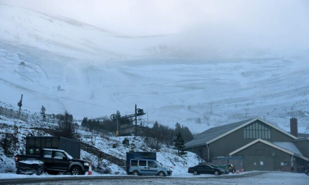
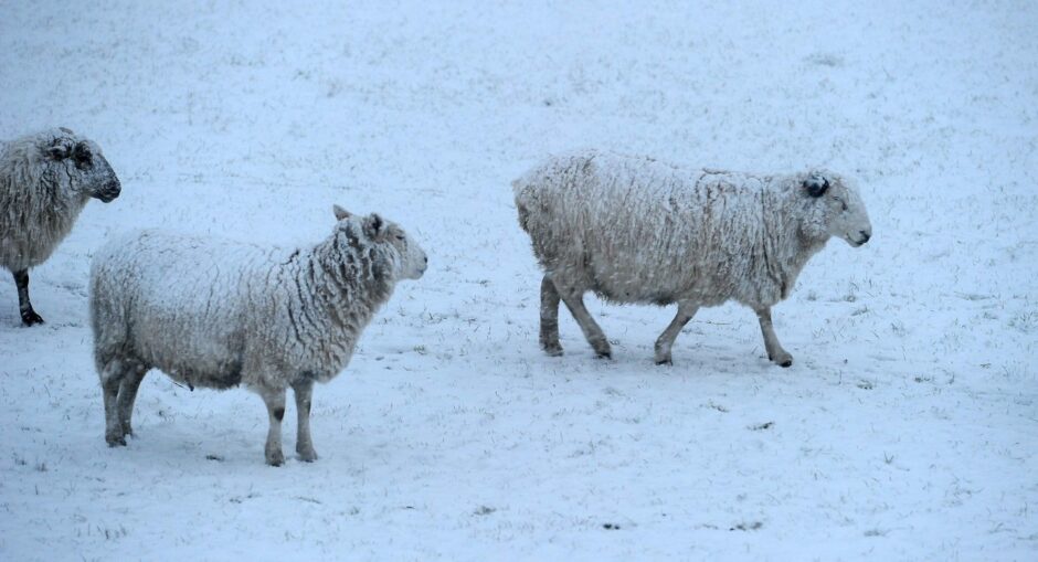
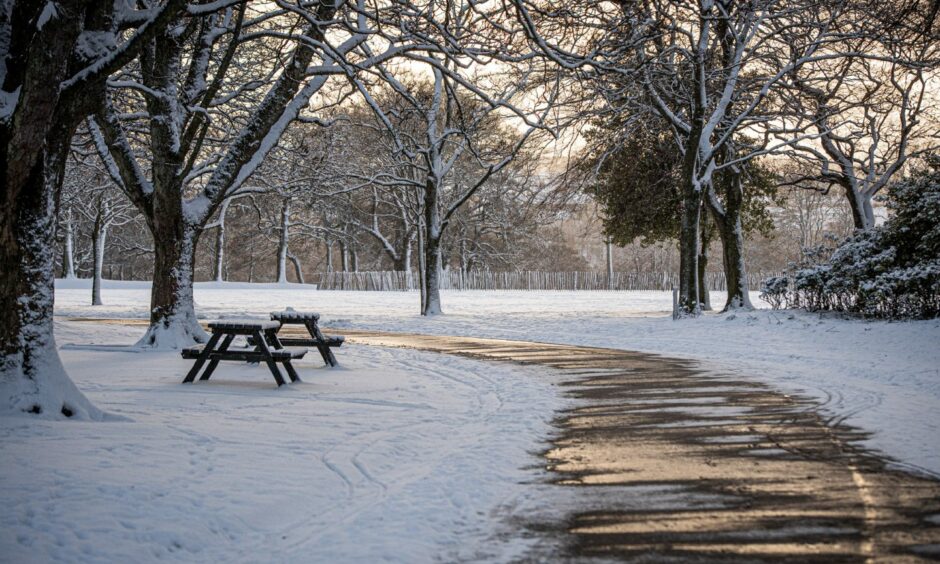
Forecasters have warned snow and sleet is on the way to parts of the Highlands and north-east.
Despite a mild January so far, the pattern is due to end in the next few days.
The snow prediction comes following a cold snap that will hit early next week as temperatures plummet from Sunday.
The Met Office say there is “change on the way” due to the jet stream.
Mountain ranges in the Highlands, including in the Cairngorms and the Nevis range are predicted to see upwards of 5.9inches of snow.
Meteorologist Aidan McGivern said: “These showers from the north could fall as snow over the high parts of Scotland, and as we move through next week often below average temperatures could support a mixture of rain, hail sleet and snow.”
Towns and cities across the north of Scotland could also be due for some snowfall.
How cold will it get?
The Met Office website shows the following temperatures during the beginning of the cold snap.
- Newtonmore: Lows of -5C on Monday and -6C Tuesday, with highs of 0C
- Braemar: Lows of -7C on Monday and -4C Tuesday, with highs of 0C
- Tomintoul: Lows of -6C on Monday and -6C Tuesday, with highs of -1C
- Aberdeen: Lows of -2C on Monday and -1C Tuesday, with highs of 3C
- Inverness: Lows of -2C on Monday and -1C Tuesday, with highs of 2C
- Elgin: Lows of -2C on Monday and -1C Tuesday, with highs of 2C
How likely is snow?
The Met Office website also shows the likelihood that certain parts of the Highlands and north-east will be hit with a “wintry mix” of snow and sleet.
- Newtonmore: Saturday and Sunday 60%, Monday
- Braemar: Saturday and Sunday 70%, Wednesday 50%
- Tomintoul: Sunday 60%
- Aberdeen: Sunday 50%, Monday 50%
- Elgin: Wednesday 30%
Cold weather will be hitting over the weekend. Image: Wullie Marr/DC Thomson.
On December 13, the coldest day since December 2010 was recorded in Braemar at -17.3C.


