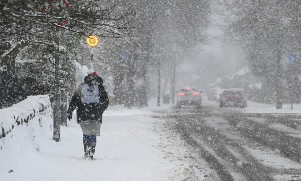
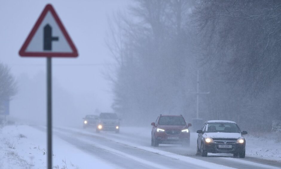
While spring may have technically sprung – the Met Office has said there are increased chances of snow, frost and fog for northern parts next week.
The outlook suggests that this month is more likely to start colder than the average March.
From what we know so far, there are increased chances of cold weather, such as snow, frost and fog, at least for the north and east, and especially around the coast.
Mark Sidaway, deputy chief meteorologist with the Met Office, explained there are similarities to the Beast from the East, which swept the UK five years ago.
He said: “Although we have had a sudden stratospheric warming event and other drivers pointing towards colder conditions in March, at this stage there is a low probability of having widely disruptive winter weather like that of five years ago in March 2018.”
A sudden stratospheric warming event is when atmospheric waves are pushed together – like waves in the ocean – and break on top of the freezing cold polar vortex – causing a spike in temperature over the Arctic and pushing the cold air south.
He continued: “At that time a large area of high pressure became established over Scandinavia, providing a feed of cold air all the way from Arctic Siberia. This brought intense cold to the UK.
“We are expecting an area of high pressure to become increasingly established in an area toward Greenland. This will allow a northerly flow to feed colder air into at least the northern and eastern half of the UK bringing wintry showers.”
He said the impact of the cold weather would ” bring the potential for some more widespread snowfall”.
Should we expect another Beast from the East?
The most likely scenario is for colder and settled weather, with wintry showers perhaps affecting some northern and eastern areas, mainly coasts, at least at first.
This colder regime moving south across much of the UK, increasing risk of wintry showers, perhaps snow to the higher ground in the north.
Temperatures are likely to be below average.
Will we get any snow next week? ❄️
Watch Aidan explain what we think will happen to our weather ⤵️ pic.twitter.com/LER3lEH1XX
— Met Office (@metoffice) February 27, 2023
A Met Office spokesman said: “Beyond the first week or so of March there is increased potential for colder conditions compared to average.
“Spells of rain become more likely, with a chance that some areas could see snow.
“Some wintry episodes could be disruptive with a combination of snow and strong winds. North-west areas of the UK have the highest chance of remaining drier than average.
“Temperatures are most likely to be below average overall during at least the first half of March. But values are expected to be nearer average overall later on. Within this, shorter colder spells remain possible.”
Temperatures expected next week
From Sunday temperatures will begin to plummet with snow expected on Monday and Tuesday.
Tuesday appears to be the lowest temperatures forecast next week, and the day most likely for more widespread snow.
- Inverness: -2C, expect snow
- Aberdeen: -1C expect snow
- Braemar: -5C expect snow – will feel like -7C during the day.
- Oban: -2C, will feel much colder
- Scardroy near Muir of Ord: -4C, expect snow
- Kirkwall: 0C, expect snow
- Peterhead: -1C, light snow showers.


Conversation