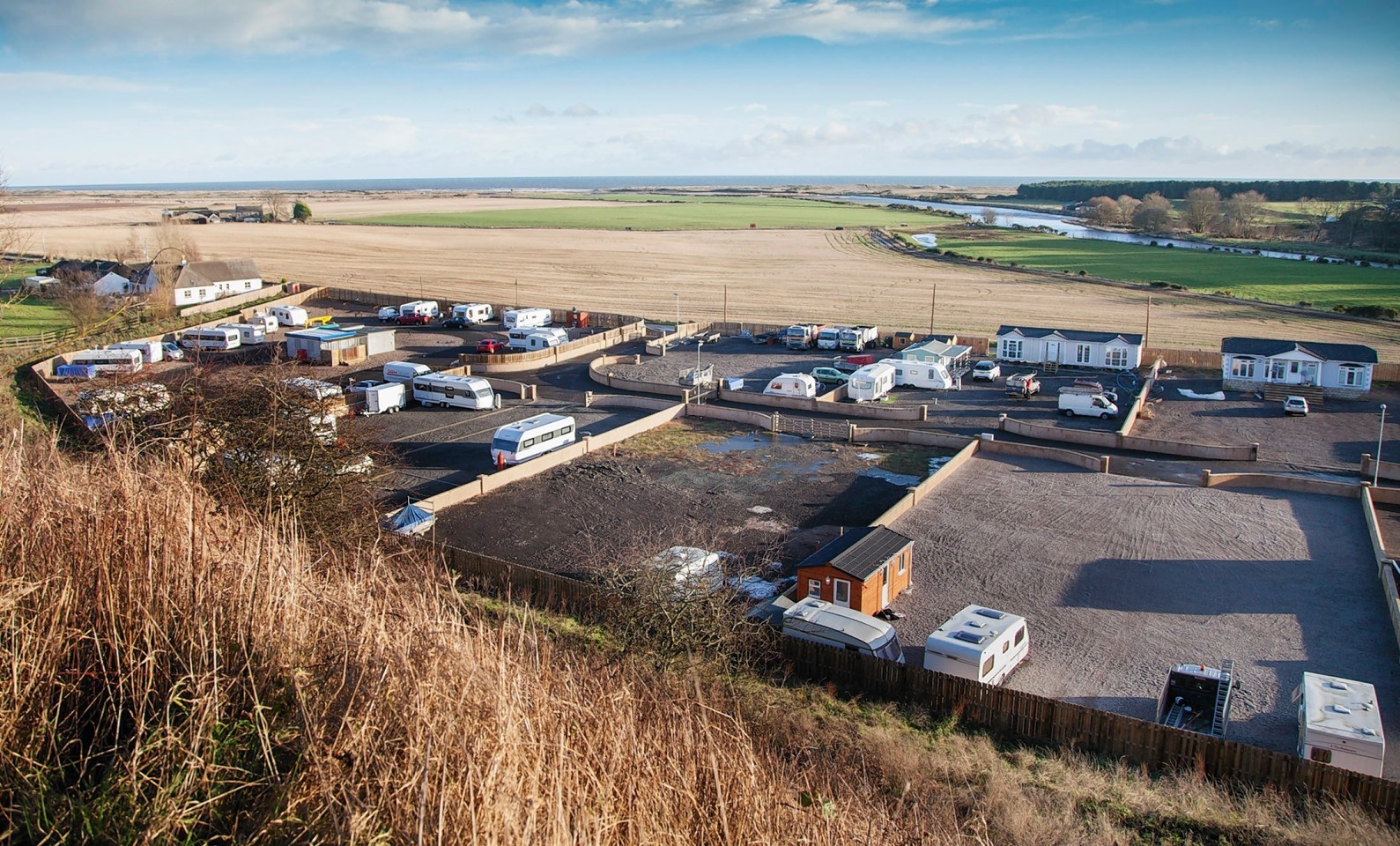
A Mearns businessman has raised doubts over a “hastily drawn up” map that highlights the risk of flooding at a controversial travellers site.
Peter Harrison has accused the Scottish Environmental Protection Agency (Sepa) of having a “hidden agenda” for issuing a map that identifies land near St Cyrus nature reserve as a flood plain.
Mr Harrison stressed he was neither for or against the illegal halting site that has been built at Northesk, but questioned how the agency could previously say they had no concerns about the site before later lodging an objection.
Sepa’s outstanding objection is one of the key reasons councillors are being asked to throw out the plans for the travellers’ site on April 30.
But Mr Harrison, who owns the nearby Steptoe’s Yard, said: “I’m not taking any sides about the site, I’m staying neutral about the whole thing.
“To me though it looks like there’s been a knee jerk reaction to flooding in other parts of the country.
“I also think there’s a hidden agenda.”
The businessman said Sepa’s handling of the case was similar to their consideration of his application to build a cafe.
In a letter dated September 25, 2013, the agency tells planning officers at Aberdeenshire Council it has no objections to Mr Harrison’s plans for the sales yard.
But five months later, after he altered the plans and resubmitted them, Sepa objected again, on the basis of a new flood risk map.
Mr Harrison, who has lived at Nether Warburton Farm for 26 years, said: “Someone is overreacting at Sepa, whether it’s because of the travellers I don’t know.
“This new map has been put through in a rush and isn’t correct. It says there’s only one access road to the site, but there’s one at either end of the reserve – we have two access roads to us.
“If this is a flood risk area, why have we never had a flood risk warning when there’s a high tide?”
A Sepa spokesman said: “Sepa’s flood maps, which were first published in January 2014, are the most comprehensive national source of flood hazard and risk.
“The flood maps, which have been developed in partnership with local authorities and Scottish Water, supersede the Indicative River and Coastal Flood Maps with more up-to-date information on flood risk which means that the flood maps can potentially display a different level of risk to that shown in the previous maps.”
A spokesman for Aberdeenshire Council said councillors would have all information, include the flood risk assessment carried out on behalf of the travellers, when they consider the application.
