Four striking maps showing-off the best spots and stories from Aberdeen and Aberdeenshire’s coastlines are also helping ensure their future.
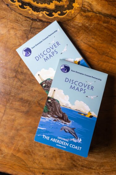
The created maps from East Grampian Coastal Partnership (EGCP) cover coastlines in Aberdeen, Mearns, Buchan and Formartine.
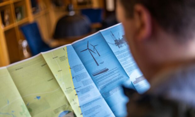
Designed by Foyer Graphics, the visually “attractive” maps detail key walks, local history and help share resident’s memories.
While the pdfs are available online for free, the real unique “momentos” are the newly printed folding maps.
Making the north-east’s rich history accessible
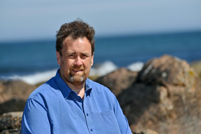
The beautifully designed maps – born from the “brains” of the project John Watson -share local’s stories, mainly forgotten coastline history and point out many places to visit.
David R Green, chairman and director of EGCP and lecturer at Aberdeen University, said the “retro-designed” maps are a great resource for locals and tourists alike.
He said: “There’s nothing quite like it. The maps have been very successful because they’re visual.
“For communities, I think it’s about retaining costal heritage. It’s probably going to be lost if we don’t record it some way.
“This is a means of recording this and stimulating interest but also encouraging people to continue pulling out these stories and putting them out on paper.
“People have no idea, even I don’t have that much idea, about the real history and the depth of that history.
“This is one way to capture that…one way to make it accessible to anybody and one way to get it into schools and young people as well so they’re aware of the past.”
Encouraging interest in north-east coastlines
The money raised from the sales will help fund projects preserving north-east coastlines.
This builds on the fantastic work of those devoting their time to cleaning polluted shores – which was highlighted in The Press and Journal’s award-winning campaign.
EGCP project manager Ian Hay, 48, said it was getting harder to get funding for “successful existing projects” and hopes money from sales will help improve coastlines.
Mr Hay added: “So things like our Turning The Plastic Tide project which has removed over 60 tonnes of rubbish so far.
“We need to try and work out ways of helping the coastline by being a bit more imaginative about it. Hence with these maps.”
Discussions with groups such as Torry Heritage Group have helped to gather featured information and the maps are sponsored by Offshore Energy UK and Serica Energy.
Amazed by some of the “fascinating” stories and facts gathered, Mr Hay said some even go back thousands of years.
Some of these include the first Aberdeenshire house powered by wind turbine in the 1880s, tales of slavery of “Indian Peter” from Alford and wrecks along the coastline.
Where can you get a map?
Now all four maps covering The Mearns, Aberdeen, Formartine, and Buchan are available in printed form.
Costing £7 each, they can be bought online or from a range of sellers across Aberdeen and Aberdeenshire.
Those interested in selling or buying the maps can email discovermaps@egcp.org.uk


