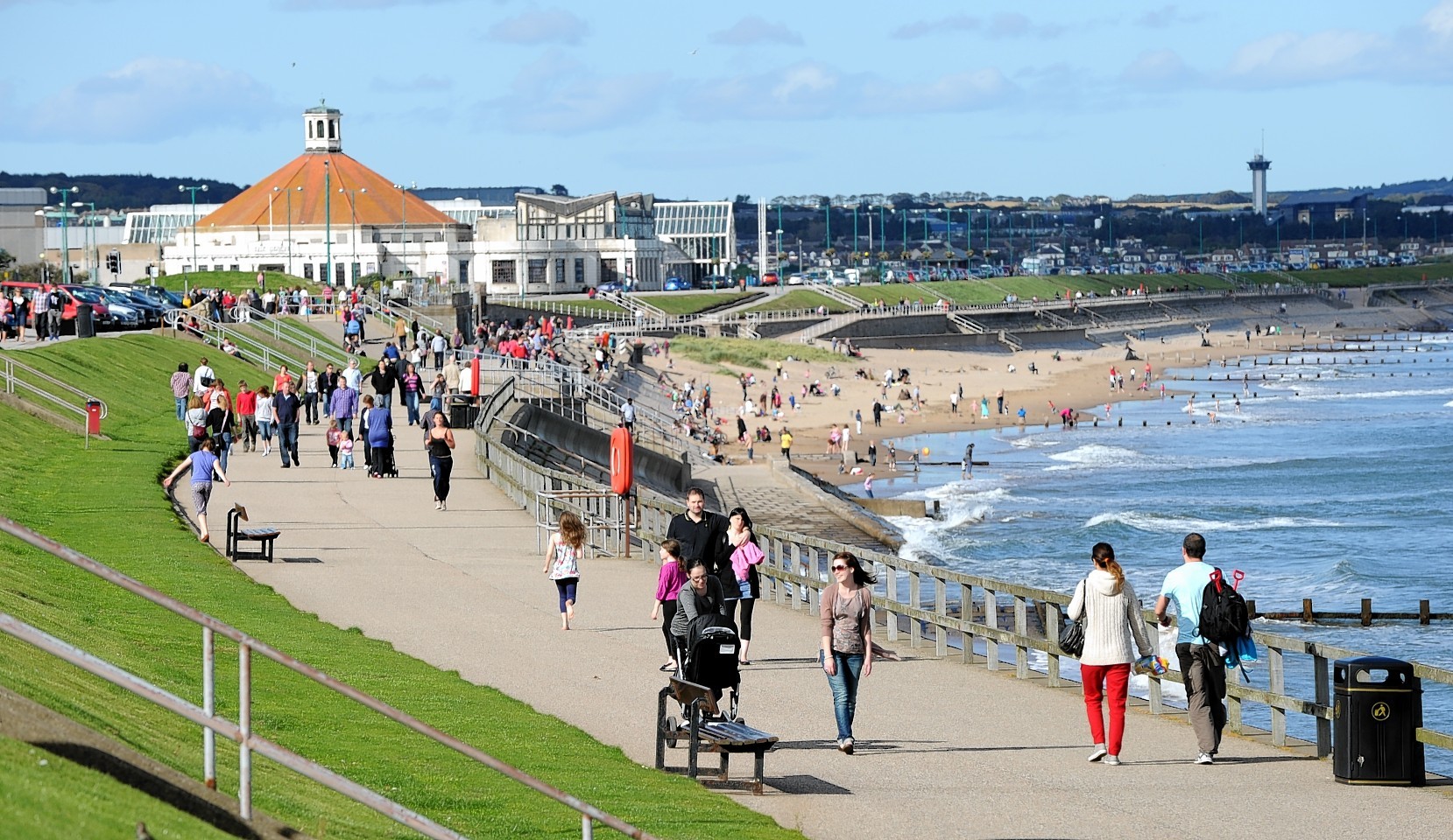
As torrential downpours swept much of Scotland yesterday, forecasters were holding out a brighter outlook with predictions of a heatwave for later in the week.
A blanket of warm air sitting over the south of England and the Continent is likely to waft its way upwards, bringing the hottest days of the year so far.
Greg Wolverson from the Met Office in Aberdeen said the weather was about to take a turn for the better.
“A heatwave is expected to come to Scotland on Tuesday,” he said.
“Areas of north Aberdeenshire and the Moray coast will be the warmest with temperatures rising to around 25C.
“Areas along the North Sea coast are less likely to encounter the heat, but Aberdeen city is expected to do well with temperatures of around 23C.
The Mercury is expected to rise higher still on Wednesday, with temperatures likely to hit 24C in the city and potentially as high at 25C in north Aberdeenshire.
A similar pattern should unfold in the Highlands, with Inverness likely to see temperatures of around 23C.
Other spots along the Moray Firth, including Nairn, Lossiemouth and Elgin, are likely to encounter the best weather on Tuesday and Wednesday with temperatures rising to as high as 25C.
The warmest temperature recorded so far this year in Scotland was 23.8C at Aboyne on July 11. However, that looks almost certain to be toppled with areas such as the Borders expected to bask in up to 30C.
One black spot may be an increased risk of thunder due to the sharp change in conditions, and there is a chance the temperatures could dip again on Thursday.
And this being Scotland, it is never wise to put the umbrella too far out of reach.
Mr Wolverson said: “We would add the caveat that there is the potential for heavy showers to develop late on both Tuesday and Wednesday.”
