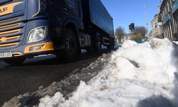
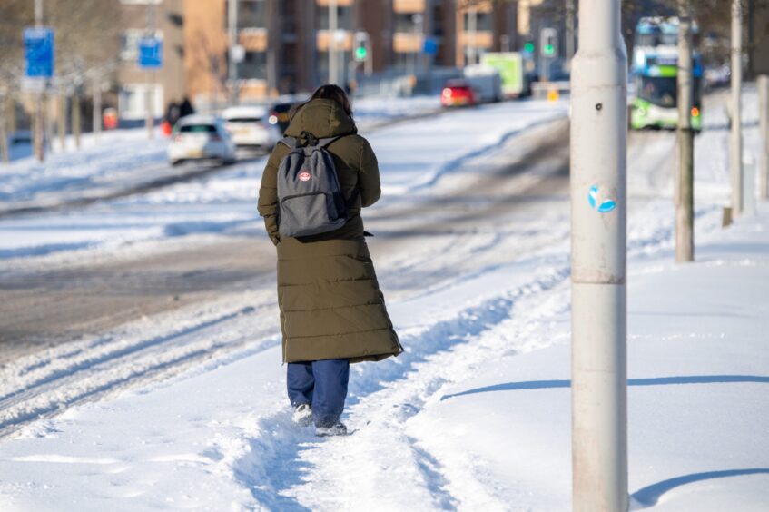
Snow and wintry weather is set to hit the north and north-east as temperatures plummet over the coming days, the Met Office has warned.
Meteorologists said that while there might be a high of 6C in the Northern Isles during the day, the rest of the area is likely to see lows of minus 8C overnight.
Snow is likely to fall in higher areas, and there is a risk of freezing rain falling across the entire region.
People in Aberdeen, Aberdeenshire and Moray are likely to see snow showers.
Snow is on its way for the north, north-east and west coast
Across the north-east the outlook reads: “Scattered showers and strengthening northeasterly winds.
“With showers turning increasingly wintry, with some heavier snow showers on Thursday.”
The Highlands and islands will also turn ‘wintry’ with snowfall to low levels.
On the West Coast, snow is possible on lower levels with the weather “staying cold.
In the north of the UK, the Met Office said to expect minus 6C overnight tonight, Monday.
By Tuesday night, and overnight on Wednesday, temperatures will be even colder at minus 8C overnight.
It will be marginally warmer on Thursday night, with temperatures dipping to minus 6C, with the same on Friday.
But as meteorologist David Oliver explains the picture is far from certain.
He said: “Conditions across the UK are forecast to turn colder with the prospect of snow for later in the week.
“Colder air is feeding from the north across many parts of the UK over the next few days.
“This brings the potential for wintry showers across North Sea coastal areas.”
He continued: “Towards the end of the week there is a possibility of snow across parts of the south.”
“The weather models are highlighting possible solutions from very wet to mainly dry, with a mainly dry picture the probable outcome.
“However, some models include the prospect of an area of low pressure developing and moving in from the south or southwest.
Snow will only be ‘transient and short-lived’
“If this solution proves to be correct, we could see an area of warmer and moisture-laden air ‘bumping’ into the cold air further north.
“Snow in any area is unlikely to be anything more than transient and short-lived, but it could lead to disruption.”

