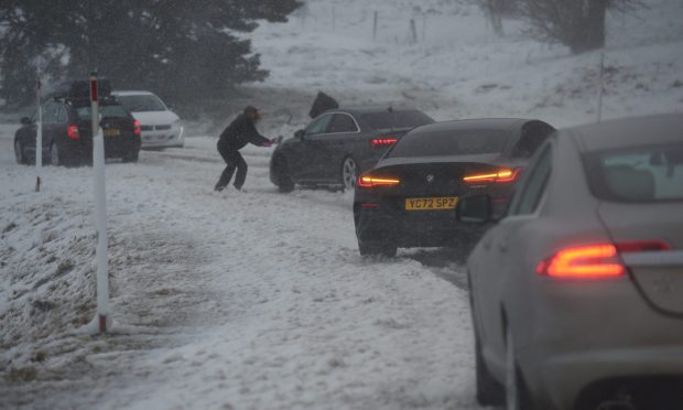
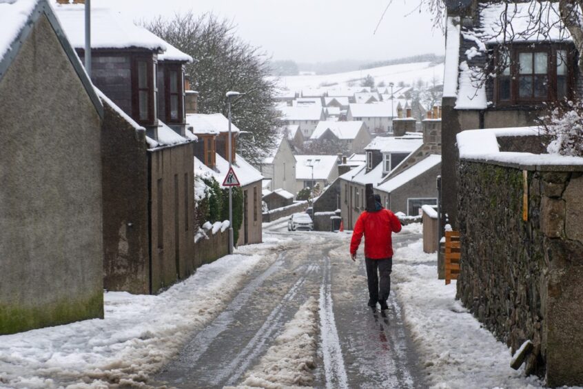
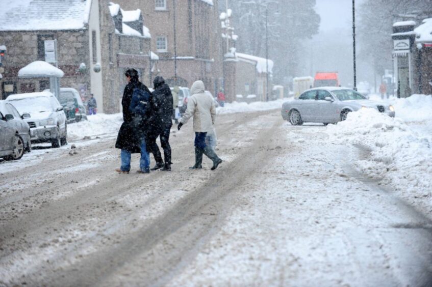
An Arctic blast will hit the north of Scotland next week.
From Sunday, milder Atlantic air will push in from the southwest – bringing a chance of “disruptive snow”.
There have been widespread reports that Scotland could be hit by its worst snowstorm and coldest deep freeze for 14 years.
But the Met Office has said forecasters “cannot substantiate” those claims yet – and that there’s “still plenty of detail to work out” before next week.
The Met Office said that a northerly airflow will bring “cold arctic air to the UK from Sunday and into early next week”, with snow showers focused across northern areas of Scotland and Northern Ireland.
Higher ground areas, including the Cairngorms, are likely to bear the brunt.
Met Office deputy chief meteorologist David Hayter explained: “While the initial snow risk from Sunday onwards is looking most likely to be coastal areas in the north of the UK, including North Sea and Irish Sea coasts, there’s an ongoing likelihood of some disruptive snow through the middle to latter part of next week.
“What we’re keeping an eye on for this disruptive snow is where exactly this milder air from the southwest bumps into the cold air that will be in place over the UK.
“It’s where these airmasses meet that there’s a likelihood of some substantial snow for some places. At the moment, models are showing us a variety of options for exactly when and how this situation plays out and it’s something we’ll be able to add more details to in the coming days.”
“Disruptive snow” looks more likely to impact parts of England rather than Scotland at this stage.
At this early stage, it’s unlikely conditions will be nothing like the snowstorm of November 2010 that brought chaos to the north-east, including a temperature low of -21.3C at Altnaharra in Sutherland on December 2.
The Met Office added: “It is worth nearing in mind we had considerable snow over higher parts of Scotland as recently as Storm Gerrit.”


