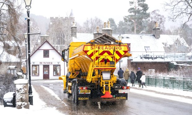
Winter is coming according to forecasts as temperatures are set to plummet along with snow and ice expected across the north and north-east in the coming days.
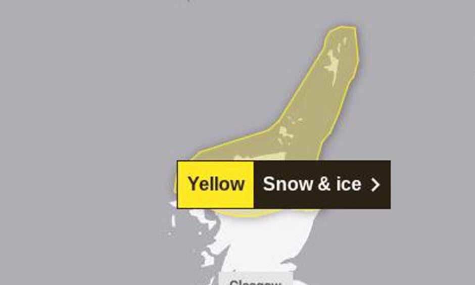
The Met Office has already issued a yellow warning for snow and ice for much of the northern Highlands as well as the Moray and Aberdeenshire coast.
Snow and ice will affect places such as Inverness, Elgin, Fraserburgh, Thurso, Wick, Ullapool, Stornoway, Orkney and Shetland.
The warning is in place from 4pm on Sunday through to 11am on Monday, with temperatures expected to plummet in the first sign of an incoming winter.
The cold weather is likely to continue throughout Monday night into Tuesday.
Several places are expected to see temperatures fall below freezing on Monday night.
- Inverness -5C
- Aviemore -6C
- Braemar -7C
- Elgin -3C
- Thurso -3C
- Fraserburgh -2C
- Aberdeen -2C
- Aberlour -4C
- Stornoway -2C
- Lerwick -2C
- Kirkwall -3C
Braemar and other inland areas are likely to see the coldest temperatures of the season so far, falling to as low as -7C.
While these are predicted temperatures, it could feel colder due to wind chill, icy rain and lack of cloud cover.
Higher ground could see the most snowfall, with up to 15cm expected in areas above 1000ft, such as in the Cairngorms.
This is likely to be welcomed by the several ski resorts dotted around the Highlands, looking for more snow to kick off the ski season.
Forecasters predict the next few days will be the coldest spell of the winter season so far, with more wintery weather on the way.
To find out more about the weather in your area, visit the Met Office website.


Conversation