Showers of snow and “freezing rain” have been forecast across parts of Aberdeenshire.
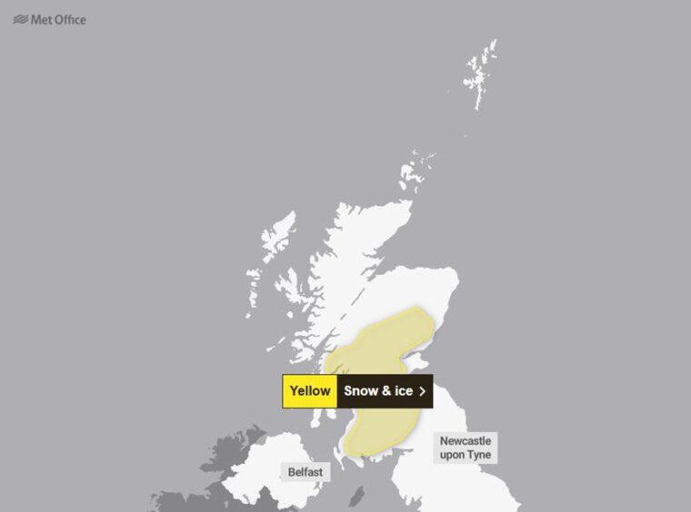
The Met Office has issued a yellow weather warning for snow and ice which comes into effect at 3am tomorrow.
Ballater and Laurencekirk are among the locations where residents have been warned to expect some disruption.
The warning area extends south across Perth, Stirling and Glasgow until midday on Tuesday.
The weather agency said snow will be heaviest in the morning while freezing rain could cause icy surfaces.
It states: “Snow flurries will probably turn heavier for a time during Tuesday morning, leading to a covering of snow in some places.
“Most likely in the zero to one cm range in lowland areas, whilst one to five centimetres is possible in places above 200m.”
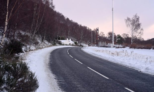
Snow could fall in Ballater and Laurencekirk
The warning continues: “In addition, freezing rain, especially in the southern part of the region, is likely to cause icy surfaces in a few places and could make for difficult driving conditions, even on treated roads.
“Freezing rain and snow is expected to ease by Tuesday afternoon, with conditions improving.”
In the Ballater area, temperatures are expected to drop to one degree overnight with light snow starting this afternoon.
Meanwhile, overcast conditions in Laurencekirk will turn into sleet later in the day.
The Met Office said the weather warning is likely to have a “low impact” but has still warned driving conditions could be difficult.
Some roads and and railways are likely to be affected with longer journey times by road, bus and train.
There will also probably be some icy patches on untreated roads, pavements and cycle paths.
Conversation