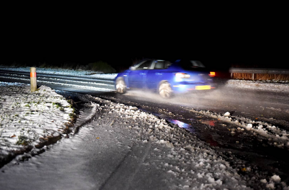
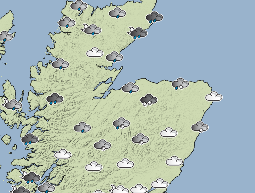
Tonight’s heavy snowfall across the north-east is expected to continue throughout the night and Saturday, however forecasters have said that next week will bring back warmer temperatures.
The wet and wintry weather is predicted to last through Saturday, with some wintry showers predicted for Aberdeen, Aberdeenshire and Moray.
Temperatures are expected to be a little bit hotter than today’s recordings, with lows of only -2c expected in regions like Braemar as the chilliest temperatures.
But Sunday is predicted to be relatively toasty, with highs of 6C forecast for Peterhead and the north-east around midday.
And the weather looks set to improve even further as the week goes on.
Gordon McKinstry, a meteorologist based at
the Met Office in Aberdeen, said: “We’re expecting things to warm up from Sunday going into Monday, and a band of rain will come in from the Atlantic and move east across the country.
“There will be some snowfall, but this will be confined to the hills and mountains.”
Further into next week, Mr McKinstry said the weather would be more unsettled, with long spells of rain expected
on Tuesday and Wednesday.
Meanwhile, Aberdeen City Council is offering community groups the chance to claim free salt bags to help combat slippery surfaces.

