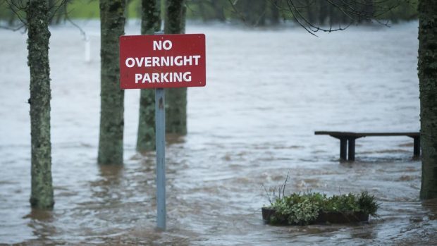
The clean-up may be underway across the north and north-east, but forecasters are warning there is more wet weather to come this weekend.
Storm Frank wrecked havoc on Wednesday, flooding towns and cities throughout the region and leaving hundreds of homes without power.
And now the Met Office has issued an amber “be prepared” warning, with the chance of more localised flooding with up to seven inches of rain expected to fall before Monday. And on the higher ground, snow is also expected.
However, a spokeswoman for the Met Office in Aberdeen said the snow was unlikely to cause major disruptions.
“Overnight, into Saturday, we’ve got rain moving into the area again,” she said.
“It will be quite continuous.”
The worst of the weather is expected to hit the south, from the Angus Glens to the Cairngorms.
She added: “It might not affect Aberdeen too much until later into Saturday.
“That will carry on into Sunday. We’ve got quite strong south-easterly winds that will pick up waves offshore down the coast, towards Stonehaven.
“We’re not too concerned about snow at this stage – but perhaps earlier next week as it turns colder. It’s more the rainfall and the fact it will carry on all weekend.
“We’re not quite sure how the rivers will react, but there will be a fair amount going in over Saturday and Sunday. That’s being assessed and flood warnings are available on the website. We have also issued an amber warning.”
The Met Office’s amber warning for Grampian suggests that transport will be disrupted with over seven inches of rain expected to fall before Monday.
“Given the saturated nature of the ground there is a greater risk of surface water and river flooding that might normally be expected,” the Met Office’s warning reads.
“Be prepared for the likelihood of both surface and river flooding, as well as some local disruption to transport.”
Throughout Scotland there were about 70 flood warnings and 12 flood alerts in place during last week’s storm.
