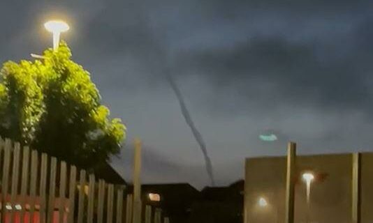
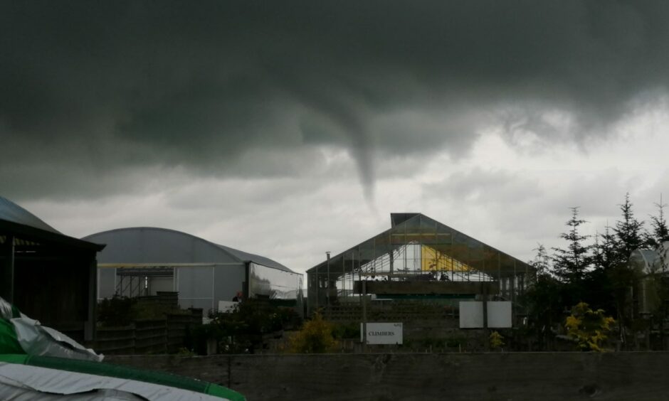
A dramatic funnel cloud has been spotted in the sky over Aberdeen.
Reader Joe Durno captured the curious formation in the Granite City at about 11pm on Friday.
The mini twister appeared to stretch from the cloud cover towards the ground.
How common are funnel clouds in Aberdeen?
A funnel cloud is not an everyday occurrence in Scotland but it is not uncommon to see them in Aberdeen and across the country.
Last year many people spotted a twister that could be seen between Aberdeen and Inverurie.
The phenomena are only classed as tornados if they touch the ground.
About 30 tornados are reported in the UK every year but it is even rarer for them to have enough force for them to cause any damage.
Funnel clouds are considerably more common.
How are funnel clouds formed?
A funnel cloud is formed from when a rotating column of wind draws in water droplets – making a region of intense low pressure visible.
They most frequent form in association with the formation of cumulonimbus thunderclouds.
If one forms over the sea and touches the surface then it becomes a waterspout.
The Met Office describes funnel clouds, or tuba, as “cone-shaped clouds which extend from the base of a cloud towards the ground without actually reaching the surface”.

