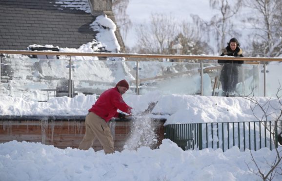
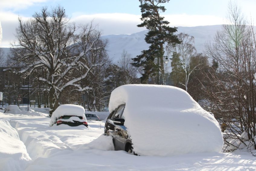
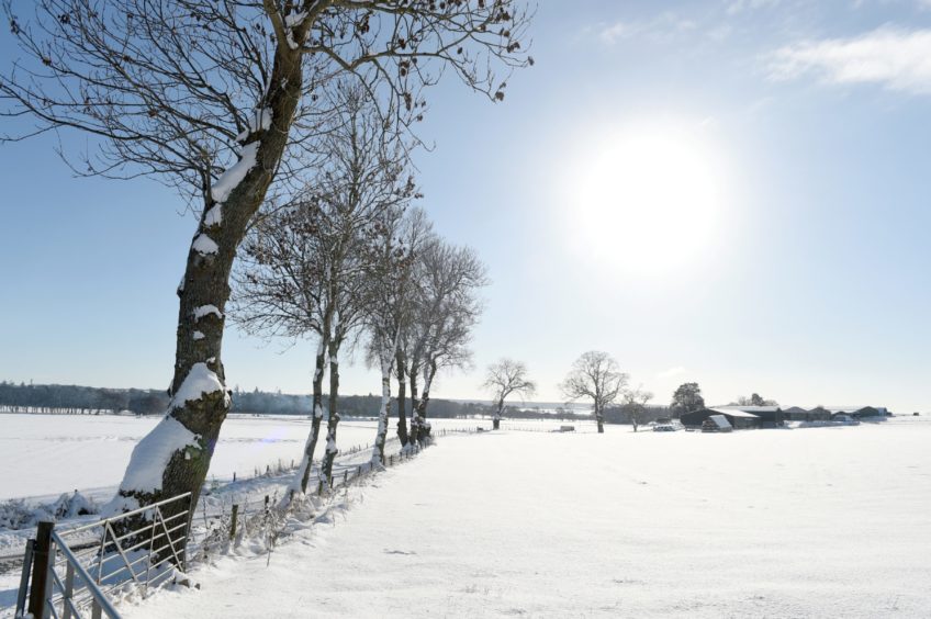
Temperatures in Braemar matched those more often seen Russia and Canada as the mercury plummeted to -23C last night.
The Met Office confirmed it is the coldest temperature recorded in Scotland since 1995 – and that it was just a few degrees from the UK’s coldest ever, -27.2C, which was also experienced in Braemar in 1982.
Residents of Kinbrace in Sutherland also suffered the big chill last night, with a low of -21.3C recorded.
Although more snow is forecast for the coming days, forecasters expect temperatures to begin to rise again.
Oli Claydon, spokesman for the Met Office, said: “We have obviously seen some significantly low overnight temperatures across the whole of the UK, but specifically in Scotland with three stations recording below -20C and quite a few stations recording below -15C.
“We have to look back to December 1995 to see lower temperatures when -23.2C was recorded on December 13, 1995.
“So a notably cold night and certainly the lowest temperature we have seen in a fair few years.”
Mr Claydon said the “prolonged cold spell” and lying snow had brought the overnight temperatures down even more.
“With consistent days of lying snow, it just helps keep the temperature lower and it just never has a chance to get up and increase through the day,” he said. “That is how we get to these really low temperatures.
“In terms of wider context, the lowest temperature recorded in the UK was -27.2C on January 10, 1982, also at Braemar, and that is the lowest temperature recorded in the UK on record.”
More chilly temperatures on the way
Tonight, temperatures could still be in minus double figures in Scotland and widespread frost is expected to cover most of the UK.
He added: “It’ll be another cold night tonight and there’s still a little bit of the cold conditions and snow to get through. There is the chance of the odd snow shower making its way through the east coast overnight, but really there will be a drying trend to the conditions for the next couple of days.
“Central parts are even going to see quite a bit of sunshine. There are bright sunny conditions to be had and even in the Western Isles from time to time. That too is true for some of the northern isles poking out into the sunshine as well.
“There are some pleasant conditions to be had, albeit still feeling very cold.
“Gradually through the next couple of days the wind does pick up though as we start to see more of an influence come from the west, and this is going to be heralding the change of conditions really as we move through to the weekend.
“Snow showers in the east still through Friday as well, with central and western parts remaining drier, but as we move into the weekend that is when things start to change a little bit.
“We have got a system moving in from the west on Saturday that is going to be bumping into that cold air and bringing some further snow to western parts on Saturday as it all moves easterly, reaching the east on Sunday rather than Saturday.
“We could see some snow still on the leading edge of that.”
Weather will return to ‘what we’re used to’ by early next week
The forecaster said that by Monday, the conditions will be more mild although breezy.
“There will continue to be a risk of snow, confined to the higher points of the mountains but it will be more of a return to the winter weather we are used to in the UK,” he said.
We can now confirm that last night was the coldest February night across the UK since 23rd February 1955 🌡️ 📉
That includes the infamous winter of 1962/1963 ❄️
The #temperature in Braemar, Aberdeenshire fell to minus 23.0 °C at 08:13 this morning 🥶 pic.twitter.com/NpcdIbg5eC
— Met Office (@metoffice) February 11, 2021
“By the time we get to Tuesday, we expect temperatures of around 8C in Aberdeen so certainly a change to what we have experienced in recent weeks.”


