Clifftop coastal defences were being discussed in parliament as early as 1900 for the two headlands which mark the narrow entrance to the Cromarty Firth.
In that year, local MP James Weir asked Captain Pretyman, civil lord of the admiralty, if he would “consider the expediency of fortifying the two headlands known as the Sutors”, given the “excellent anchorage” the firth offered the navy’s fleet.
It took just over a decade for the idea to become a reality, with the construction of the fortifications unusually taken forward in 1913 by the Admiralty rather than the War Office.
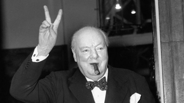
Winston Churchill, who was First Lord of the Admiralty and who visited Cromarty at the time, spearheaded the build-up of naval defences as war loomed.
>> Keep up to date with the latest news with The P&J newsletter
He then announced in November 2013 that the Cromarty Firth would become a main naval base over Scapa Flow at Orkney.
However, despite being well defended by the gun emplacements on both the north and south Sutors, naval chiefs were anxious about protecting the fleet from submarines.
The jitters were highlighted in October 1914 when the nearby village of Jemimaville was accidentally shelled by battle cruisers, injuring a baby and damaging a home in the process, after they mistook a bow wave in the firth for a U-boat periscope.
In the end, Scapa Flow became the main base as it was better suited to the task of blockading Germany, but Invergordon in the Cromarty Firth remained an important oiling station and port for the fleet.
The firth in the later part of the war was the home of US Naval Base 17, a key site for the laying of the Northern Mine Barrage.
As part of a 2013 research project on war time heritage in Scotland, Gordon Barclay said: “Plans were drawn up and construction began in 1913 for a series of coast batteries for the port, but the defences were not complete when the war began.
“From 1914 the entrance to the Cromarty Firth was protected from seaward attack by guns to fight off surface ships, by nets stretched across the entrance to the firth to stop German submarines from entering, and by a controlled minefield.
“The anti-submarine boom was erected on his own initiative by the senior naval officer of the base, Captain Munro, in the autumn of 1914 and then widely copied.”
The main area of the South Sutor battery is located on sloping ground between around 300ft to 380ft above sea level, although elements such as the searchlights and the World War I 4-inch QF battery are located much lower down towards the shoreline, at around 30-60ft above sea level.
Roads to the Sutor batteries were defended by “firing trenches and barbed wire entanglements”.
The larger gun sites were reoccupied in World War II, with construction of the 6-inch battery beginning in 1939 and being completed by November of that year, with the searchlights operational by December.
The battery remained in use throughout the war and, although the guns were never fired in anger, experts at Historic Environment Scotland (HES) believe they may have played a role in exercises to prepare Allied troops for the D-Day landings of 1944.
After the war, the South Sutor battery was placed on a “care and maintenance” before finally closing in 1956, after which it was temporarily used as a Territorial Army centre.
Today, experts have said that the site was a “vital component” of the national defensive system which extended from Shetland to Cornwall.
In Scotland, it comprised of about 50 coastal batteries during World War I and about 70 in World War II.
“The survival of many of the ancillary structures at South Sutor make this the most complete surviving coast battery within Scotland,” an HES report said.
“The extensive survival of camouflage paint from both the First and Second World War is particularly rare.”
