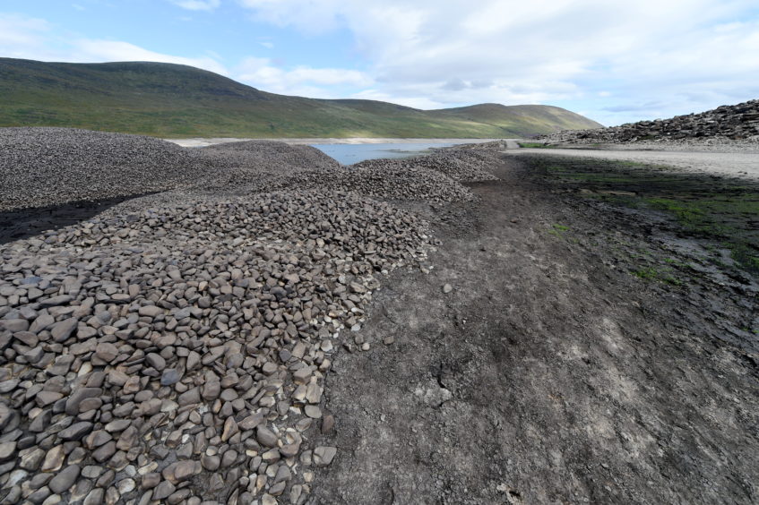
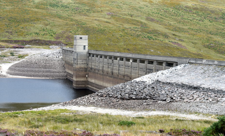
The effects of climate change and a dry spring has left water levels in the north and north-east “critically low”.
Sepa has outlined increasing shortages across the region, with one part of the north-east reaching its lowest ever level.
He said: “The severity of the water scarcity picture in parts of the north of Scotland is further evidence that water scarcity will become more and more prevalent across Scotland – and is just one of the many consequences of climate change the country faces.
“We want to work with businesses to plan long-term about their water usage so that we can preserve the resource as effectively as possible.
“This will protect both Scotland’s rivers and lochs and reduce their business risks.”
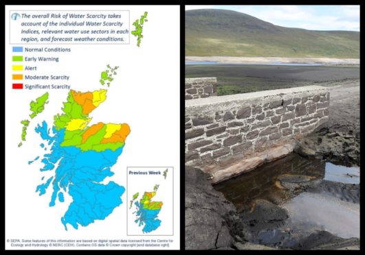
Sepa’s weekly update shows Sutherland, Moray and huge parts of Aberdeenshire listed as having moderate scarcity.
Deerdykes, a monitoring site located around 15 miles north of Aberdeen, is the location that has recorded its lowest ever level.
The rest of the north and north-east is listed as being at alert or early warning level, while most of the rest of Scotland has normal conditions.
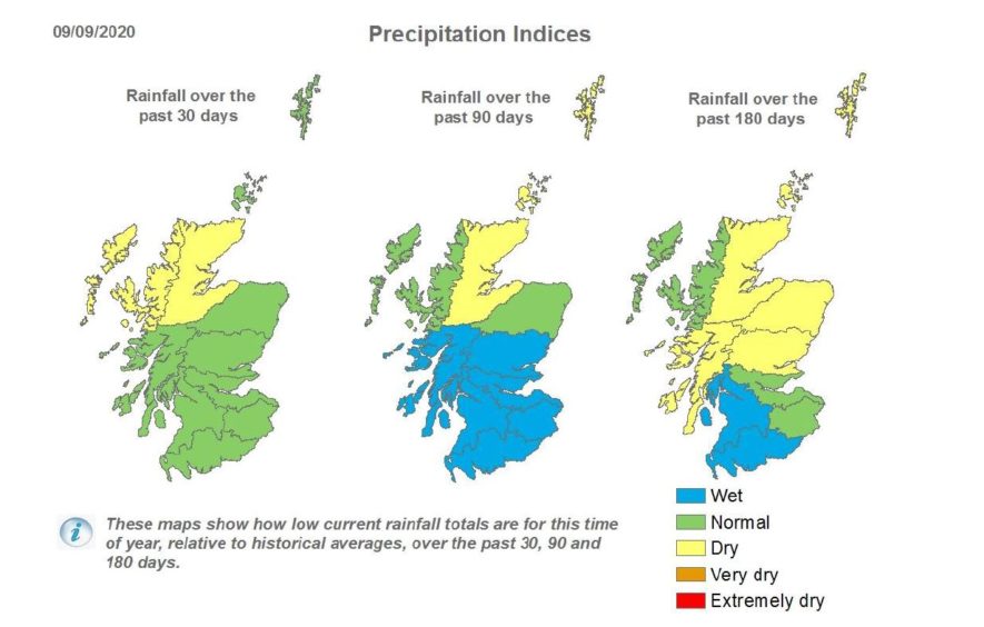
The news will come as a surprise to many given the stormy conditions and wet weather seen over the summer but figures from Sepa show that most of the north and north-east has had lower than average rainfall during the past six months.
A water scarcity situation builds up over a long period of time and the missing rainfall would have topped up reservoirs, raised groundwater levels and provided moisture in the soils.
The dry spell earlier in the year allowed SSE to carry out inspection and maintenance work at Loch Glascarnoch, which sits at the side of A832 near Garve.
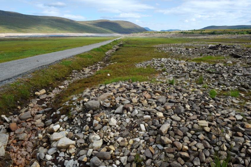
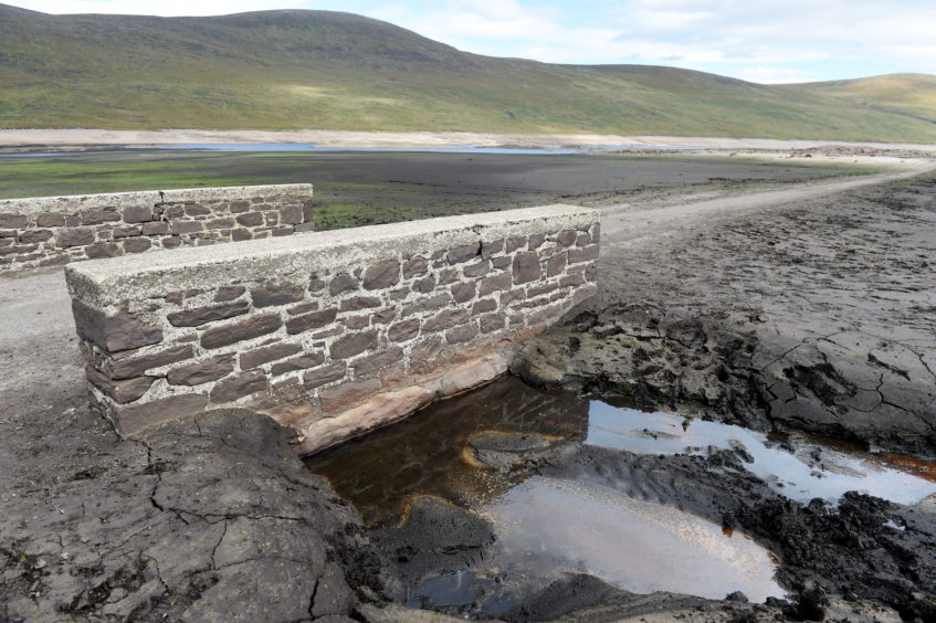
As our pictures show, the low water level exposed some structures normally hidden underwater.
The old road that used to link Inverness and Ullapool and two stone bridges were visible.
Glascarnoch and its dam form part of energy giant SSE’s Conon hydro electric scheme, which involves six dams and seven power stations, which were built in stages between the 1940s and the 1960s.
A spokesman for SSE said: “It is not unusual for reduced water levels in the loch, which occur as normal during periods of low rain or when maintenance and inspection works are being carried out within the Conon hydro scheme, to reveal the old Dingwall to Ullapool road.
“Outbreaks of rain in recent weeks has resulted in water levels in the loch beginning to rise, resulting in the old road again becoming submerged once again.”
