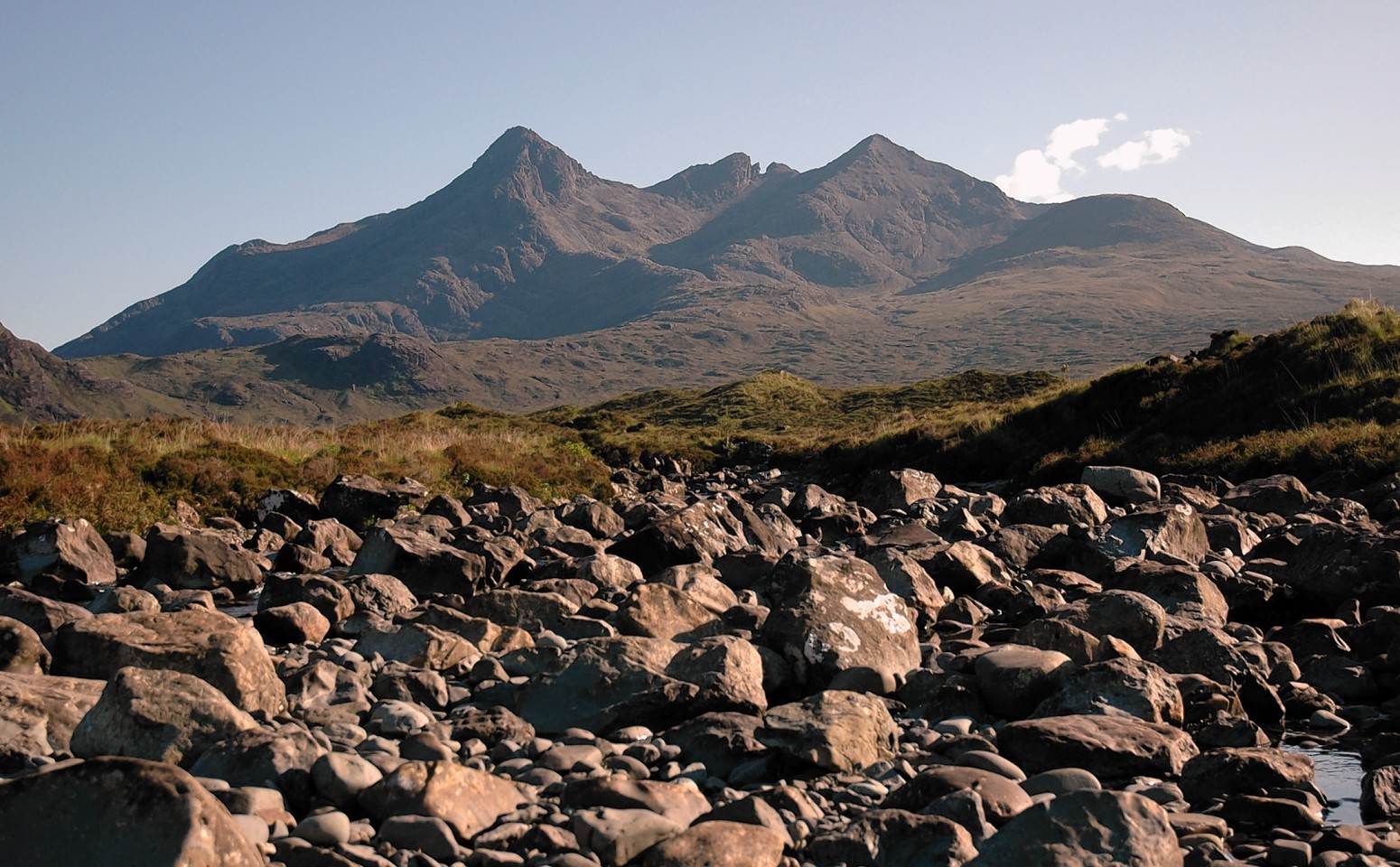
The public are being given the chance to have their say on plans to protect some of the most famous “wild lands” in the north and north-east.
Scottish Natural Heritage (SNH) yesterday published descriptions of the 42 wild land areas the agency is putting forward to safeguard against development.
The vast majority of the sites are in the Highlands and islands, including parts of Mull, Rum, Jura, South Uist, Harris, Hoy in Orkney, Skye’s Cuillin Hills, Applecross, Cairngorms, Moidart and Cape Wrath.
Based on extensive field study and illustrated with photographs and maps, the descriptions aim to capture the special qualities of Scotland’s wilder landscapes in an easy-to-read format.
SNH is also now inviting comments on the draft guidance it has produced to help decision-makers when they are assessing potential impacts of development on wild land areas.
Peter Hutchinson, SNH’s planning and renewables Manager, said: “Our wild land areas have a distinct and special character.
“They are part of Scotland’s identity and bring broad and significant benefits. For example, they attract many thousands of visitors each year and provide important havens for Scotland’s wildlife.”
The proposed technical guidance complements established approaches to assessing the landscape and visual impacts of development, with the descriptions providing a reference to assess any change.
Mr Hutchinson said: “Assessing potential impacts on wild land areas is a key stage of the development process.
“We hope that the descriptions of the wild land areas and the associated guidance will support the planning and consenting processes and help to achieve the right developments in the right places.”
The consultation runs until April 7.
Stuart Brooks, chief executive of the John Muir Trust conservation charity, said: “We applaud the work that SNH has carried out to create vivid and detailed descriptions of each individual wild land area, which examine landscape, ecology, geology, archaeology and current human activity.
“They will help bring to life Scotland’s most beautiful, wild and remote places – turning lines on maps into real places.
“We hope these descriptions will serve as much more than an aid to the planning process – they can become a resource for visitors and tourist businesses to encourage more people to discover and explore these remarkable wild places.”
