A Lochaber group set up to promote the geology of the area has applied to rejoin the European Geoparks Network (EGN).
This would give it back the Unesco status it lost in 2011.
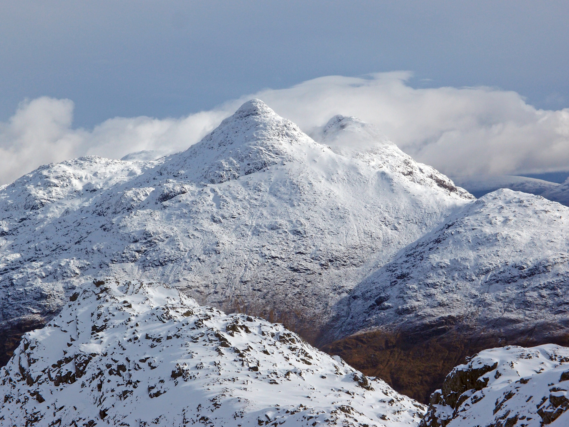
The area boasts some outstanding geology of international importance and is unique in having a record of both mountain building and plate rifting.
Its most famous features include the deeply eroded supervolcano in Glen Coe, the igneous centre on Rum and the Parallel Roads in Glen Roy.
And, prior to separating from Greenland some 50 million years ago, spectacular volcanic activity occurred in Ardnamurchan and the Small Isles.
Lochaber Geopark was originally awarded the United Nations Educational Scientific and Cultural Organisation (Unesco) accolade in 2007, but it has to be revalidated every four years.
And, in 2011, it lost its European geopark status due to a lack of core funding.
It had been unable to secure sufficient funding to employ a full-time project officer, which was a necessary requirement for continuing membership of the EGN.
The group’s business analyst, Stephen Beard, said it had been able to submit an application this year because, at the beginning of the year, it received funding from the Scottish Government to enable it to create a business plan and employ a project officer.
He said: “This has allowed us to function as a geopark again and hopefully to regain our EGN status.”
He explained that, if successful, it would then automatically acquire global and Unesco status.
Mr Beard said: “There are no financial benefits to being part of the EGN.
“However, being able to call ourselves an affiliated European Geopark is a useful marketing tool and provides networking opportunities.”
He added that the application would be considered by the European forum in March.
The area has a fascinating geological history going back millions of years.
The mountains of Knoydart were created by marine sediments laid down around 1,000 million years ago, which have subsequently been dramatically deformed by folding and thrusting.
And around 12,000 years ago, a large ice-cap developed over the western Highlands and, although the ice was around half a mile thick in places, the main mountain summits in Nevis Range and the Mamores stood out above the ice.
