Winds of up to 75mph are expected to batter parts of the Highlands and the Western Isles this week.
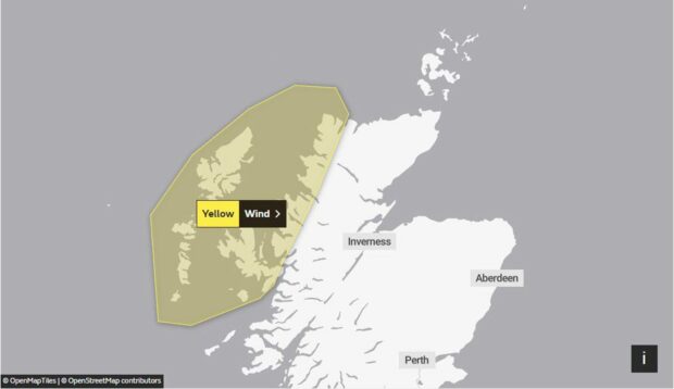
The Met Office has issued a yellow warning for strong winds, which will come into force at noon on Wednesday.
It will be in place until 6pm that day, with strong winds forecast to cause travel disruption and dangerous driving conditions in the coastal areas.
The weather alert covers the most western parts of the Highlands, Isle of Skye and the Western Isles.
Gusts of 65-70mph have now been forecast to sweep across the islands on Wednesday morning, with the strongest winds expected to hit during the afternoon.
Drivers have been warned to be cautious when out on the road as some coastal routes and towns on the sea front will be affected by large waves and sprays.
Further delays and cancellations to ferry services and flights are also expected, while bus and train journeys might take a bit longer.
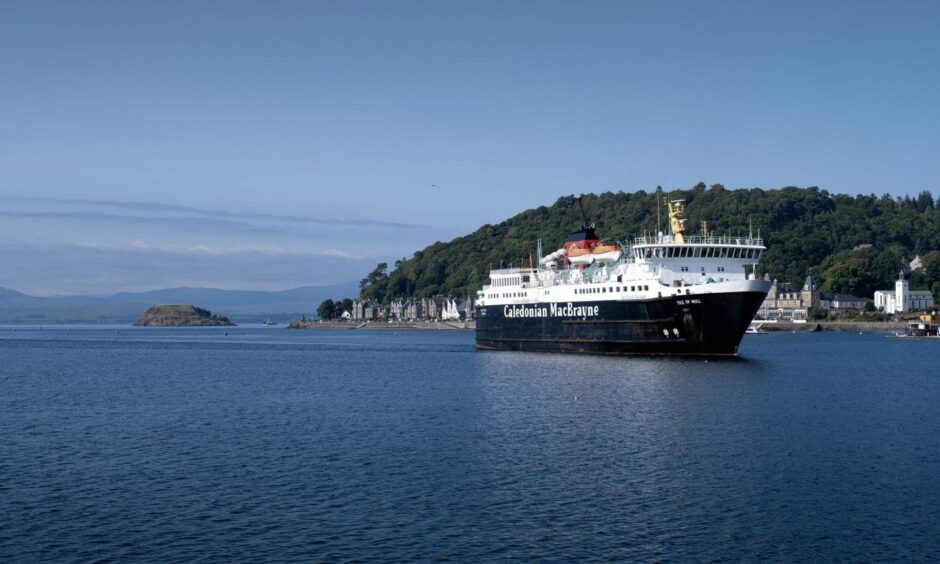
CalMac has warned sailings between Mallaig and Oban will be subject to disruption or cancellation at short notice. Customers are advised to travel on Tuesday when possible.
Despite the windy conditions, the day will be relatively warm with average temperatures of 8C in all areas affected by the weather warning.
The strong winds will be accompanied by occasional periods of rain, with the harsh weather expected to ease considerably for some time in the evening.
Minimum and maximum temperatures on Wednesday:
- Aberdeen: Minimum 5C; maximum 8C
- Inverness: Minimum 5C; maximum 8C
- Elgin: Minimum 5C; maximum 9C
- Lossiemouth: Minimum 7C; maximum 11C
- Tomintoul: Minimum 4C; maximum 6C
- Peterhead: Minimum 6C; maximum 8C
- Stonehaven: Minimum 6C; maximum 8C
- Braemar: Minimum 3C; maximum 5C
- Newtonmore: Minimum 3C; maximum 6C
- Fort William: Minimum 5C; maximum 7C
- Wick: Minimum 5C; maximum 8C
- Stornoway: Minimum 4C; maximum 8C
- Lerwick: Minimum 5C; maximum 8C
- Kirkwall: Minimum 5C; maximum 8C


Conversation