Severe flooding triggered by heavy rainfall, has led to significant travel disruptions on both roads and railways as 2025 approaches.
The Met Office has several weather warnings in place for the last day of 2024, including an amber warning covering the central Highlands.
Places affected include Inverness, Aviemore, Kingussie, Carrbridge, Fort William and the Spey Valley.
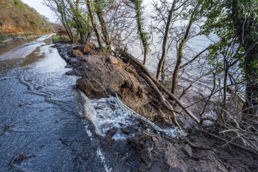
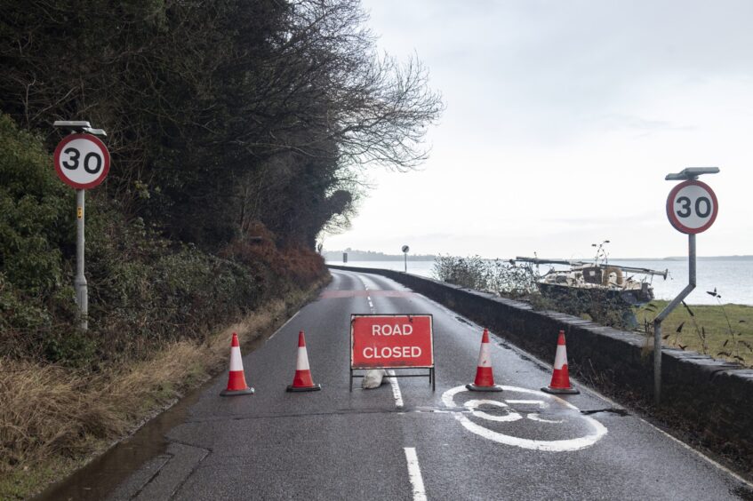
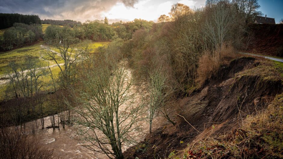
The A832 Fortrose to Avoch road on the Black Isle is to be closed until early next week following a landslide.
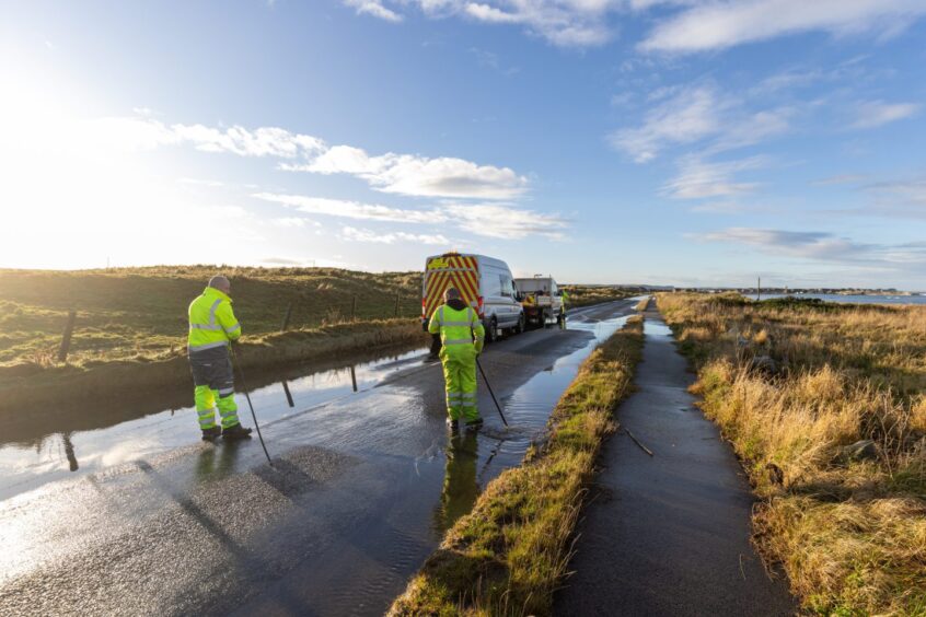
Further north, the A9 Inverness to Thurso road north of Invergordon remains closed to traffic due to flooding.
The amber warning came into effect at midnight on Tuesday, December 31, and is due to last until 5pm – just hours before Scotland rings in the bells.
A yellow weather warning was in place for the north and north-east until 4am on Wednesday but the Met Office has now reduced this.
Aberdeen and the north-east is no longer affected.
Our reporters are bringing you the latest weather updates as they happen.
If you are affected by the weather and have information or photos you’d like to share, please get in touch at livenews@ajl.co.uk.
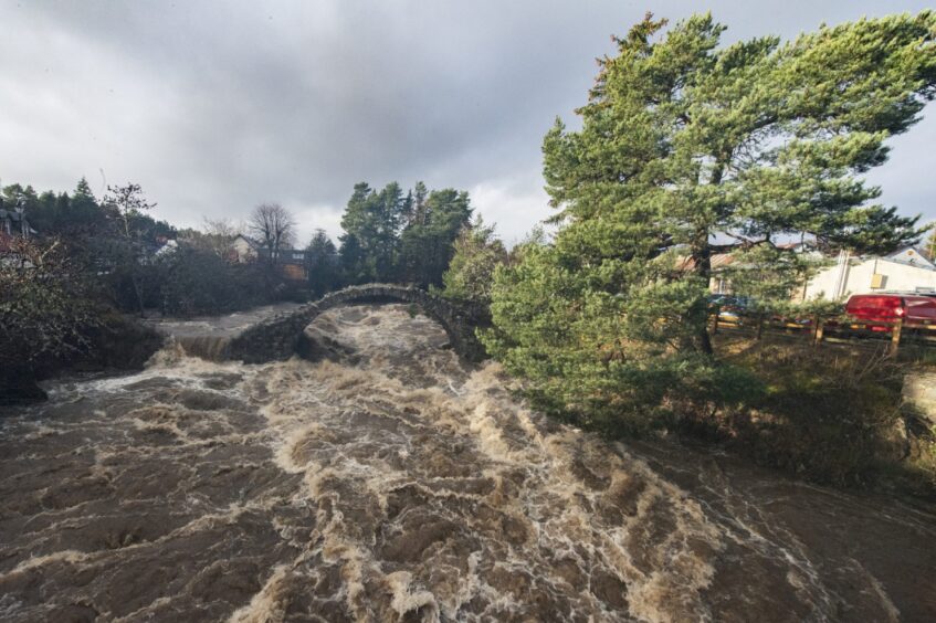
Flood warnings for Speyside
The Scottish Environment Protection Agency (Sepa) has issued more than 50 flood warnings.
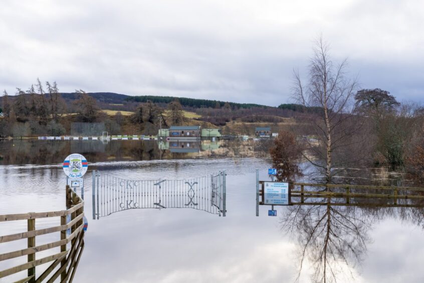
Flood gates along the banks of the River Ness in Inverness have been closed to alleviate rising river water.
The Ness Islands have been closed to the public due to flooding risk and are unlikely to reopen until January 3.
Areas affected by flooding include Nairn, Newtonmore, Kingussie, Kincraig to Inverdruie, Aviemore, Dalfaber, Sluggan, Dulnain Bridge, Grantown, Aberlour, Craigellachie, Dandaleith, Rothes, Boat O’Brig, Spey Viaduct and Spey Bay.
Warnings have also been issued for parts of Skye and Lochaber, Caithness, Sutherland, Wester Ross and the Western Isles.
Pascal Lardet, Sepa flood duty manager, said: “While we thankfully did not see some of the very high levels predicted overnight around Aviemore and Carrbridge, there is still a particular concern for communities along the Spey river.
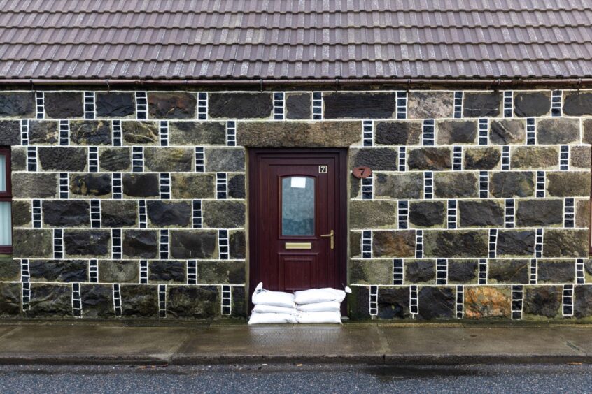
“People should still take any required action to protect themselves and their property.”
To find out if your area is likely to be affected by flooding, visit Sepa’s website.
Floods and landslide impact Highland train services
On the railways, Network Rail has issued speed restrictions on several routes due to the severe weather.
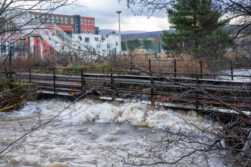
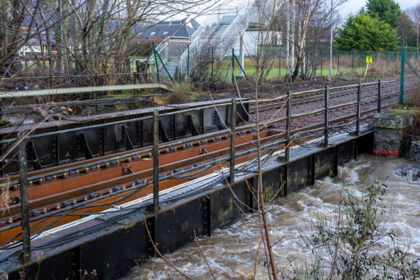
Due to heavy flooding, several lines have been closed.
- Far North Line (Inverness to Thurso): Closed due to 15 flooding incidents.
- Inverness to Kyle of Lochalsh: Closed due to flooding at Dingwall.
- Highland Mainline (Inverness to Perth): Closed due to flooding at Kingussie.
Due to line closures, services are either delayed, revised or cancelled with passengers able to travel via replacement coach/bus services provided.
A Network Rail spokesperson said: “Our engineers are responding to multiple incidents of flooding and debris on the line across the north-east of the country.
“The extreme weather is causing significant disruption on the Highland mainline and Far North line and we are working hard to restore a normal service as soon as we possibly can as the weather improves.”
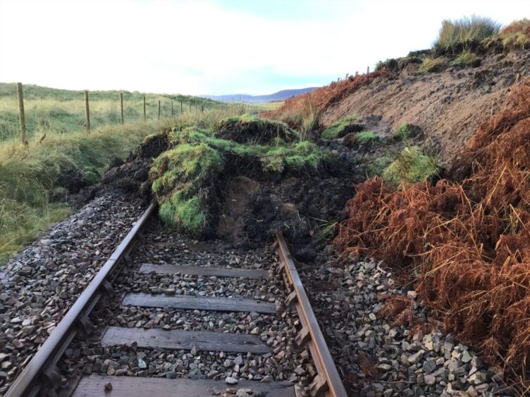
Crews have been working to clear the debris along the railway, with several landslips cleared as of Tuesday afternoon.
Flood water from the Gynack Burn and Balavil Burn has made travel along the railway unsafe.
Blanket speed restrictions services are also in effect between Inverness and Aberdeen and on the West Highland Line, which will delay travellers.
According to ScotRail, these restrictions are likely to last until January 2.
To find out if you are affected by changes to ScotRail services, visit the ScotRail website.
Travel disruption on flooded roads
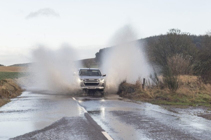
Motorists have been facing disruption on the roads with flooding forcing the closure of some of the region’s busiest routes.
The A9 Inverness to Thurso road, a few miles north of Invergordon, has been closed to traffic due to flooding.
The A96 Inverness to Elgin road was restricted in both directions due to flooding between Forres and Elgin, but has since been cleared.
Supt Jennifer Valentine of Police Scotland said: “Roads across the area are affected by surface water, and overnight we expect a number of roads, particularly around the Aviemore area, will become flooded.”
- B817 road between Alness and Evanton is closed due to flooding.
- B9031 road between Rosehearty and Fraserburgh has been closed.
- B9152 road at Kincraig is blocked due to flooding.
- B851 road is closed at Flichity Bridge.
- B9163 road closed at Jemimaville due to fallen tree.
- Divach Road near Drumnadrochit closed due to landslip.
Highland Council has issued a roads report outlining road conditions across the region.
- Inverness -Surface water on roads with heavy rain forecast throughout the day. Caution advised throughout. No known issues at this point.
- Badenoch and Strathspey – River levels on the Spey at Aviemore and the River Gynack are being closely monitored. Localised flooding causing problems.
- Nairn – Surface water on roads with heavy rain to come through the day. Localised flooding causing problems.
- Easter Ross – Four inches of snow has turned to slush and being bladed where necessary. Snow melt and further rain forecast causing flooding on roads.
- Lochaber – Sepa warnings still in force for Glen Nevis, Loch Lochy to Torcastle & Lochyside. Flood gates are still closed at Lochyside.
- Sutherland – Four inches of snow in the north & west with some drifting up to 1ft in places.
- Caithness – Heavy rain and flooding on east side of Caithness. Heavy snow on the Thurso side with a couple of inches of wet snow and up to half a foot of snow towards Melvich.
- Wester Ross, Strathpeffer and Lochalsh – Moy Bridge remains closed, due to high water levels. Lochalsh to Gairloch is wet and windy.
Bad weather to continue into 2025
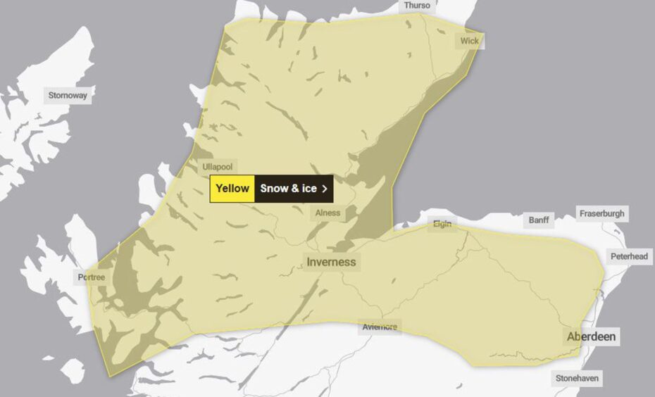
Another yellow weather warning will take effect at 4am on January 1 for snow and ice covering most of the Highlands, Moray and Aberdeenshire.
This will affect areas including Inverness, Lochaber, Elgin, Aviemore Inverurie, Caithness and Sutherland.
This warning is due to last until 9am on Thursday, January 2.
Conversation