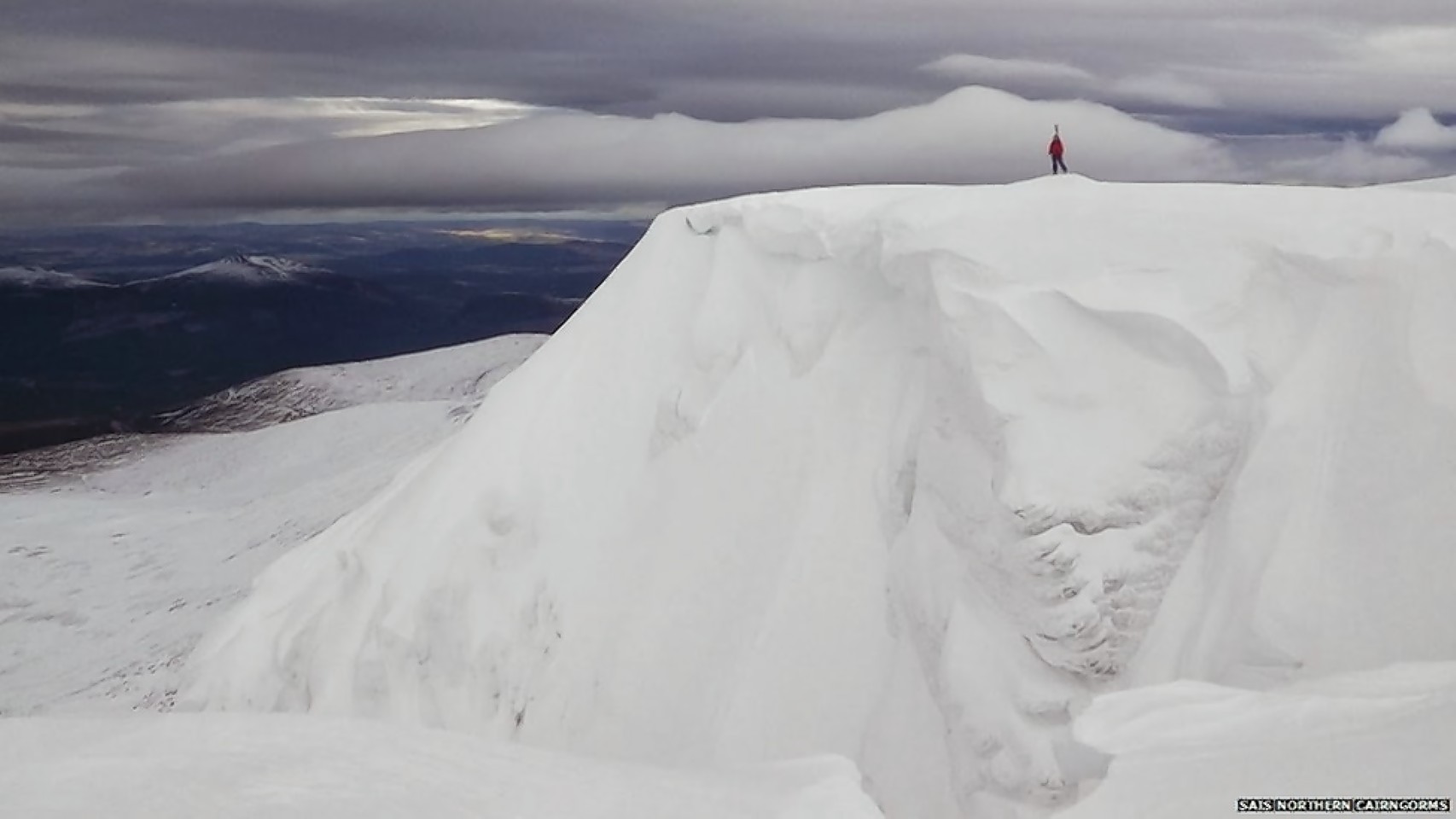
The Scottish Avalanche Information Service has issued warnings for all mountain areas in the Highlands.
The risk of avalanche overnight last night and today was said to be “considerable” in Glencoe, Lochaber and the Cairngorms.
This means natural avalanches may occur, with the weight of a single person likely to trigger an eruption of snow on some slopes.
Creag Meagaidh, near Roy Bridge, and Torridon in Wester Ross were said to be at “moderate” risk, with the possibility of people being the catalyst for avalanches.
And the Met Office issued a yellow “be aware” warning for snow and ice across the Highlands and islands from 6pm yesterday until 11am today, with the potential for difficult driving conditions.
Forecaster Alex Burkill said up to four inches of snow was initially expected above 1,650ft, with significant accumulations above 330ft overnight and into today.
Less than an inch of snow was forecast for lower levels, but ice was expected to form on untreated surfaces as temperatures dropped in the cold north-easterly wind.
Mr Burkill said: “The showers should start to ease overnight Saturday into Sunday.
“Sunday is looking mainly dry, with some bright spells and the odd shower, which could still be wintry.”
