The Scottish Environment Protection Agency (Sepa) has issued a number of flood alerts for the north of Scotland as the area braces itself for the arrival of Storm Caroline.
The storm is expected to hit the region tomorrow morning. The Met Office has issued an amber alert for Grampian, Highlands and islands warning of up to 90mph gusts of wind and snow in the north.
Sepa’s duty flood manager, Mark McLaughlin, said Storm Caroline will bring a strong tidal surge and some heavy showers.
He added: “This means we have issued flood alerts and warnings due to the potential for flooding in a number of areas around the coast over today and tomorrow.
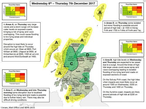
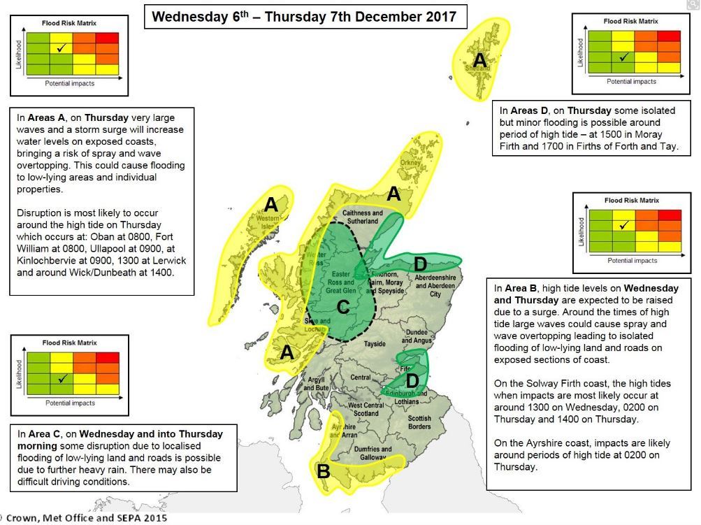
“The greatest impacts are expected to be spray and wave overtopping which could see flooding to low-lying areas and at risk properties on exposed sections of coastline. Travel disruption is also likely in these areas.”
He added: “Thursday brings very large waves and a storm surge to the coast from Oban to Wick, the Western Isles, Orkney and Shetland. High tides are again when disruption is most likely. These are due at Oban and Fort William at 8am, Ullapool, Stornoway and Kinlockbervie at 9am and the Northern Isles between 1pm and 2pm.
“On the Moray Firth coast and in the Firths of Forth and Tay, isolated minor disruption is possible at afternoon and early evening tides on Thursday but the storm surge is greatly weakened and the waves will be much lower.
“The main impact from Storm Caroline is the strength of the winds, which are causing the storm surge – but due to persistent rain across parts of North West Scotland we may see isolated flooding to low-lying land, roads and in other known trouble spots on Wednesday and into Thursday morning.”
He encouraged members of the public to sign up to Floodline on 0345 988 1188 for the most up-to-date alerts and warnings.

