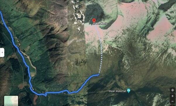
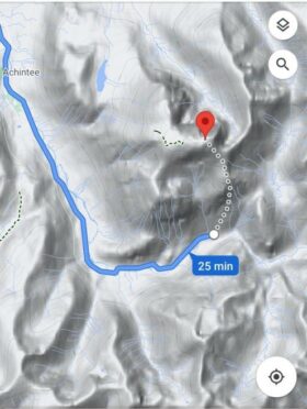
Google has announced that their maps are being updated following backlash over a ‘dangerous’ supposed route on Ben Nevis.
A driving route on Google Maps was confusing walkers and leading them up a trail from the car park nearest the summit which can prove dangerous for even the most experienced climbers.
The terrain was described as “potentially fatal” by a professional at Mountaineering Scotland.
Google said that their maps never intended this route to be for walkers, but instead as a way to show drivers how far they are from the summit.
They said that their walking directions do not lead people through steep or dangerous routes.
The original route has since been amended to avoid further confusion.
A spokesman from Google said: ”We’ve investigated the issue at Ben Nevis, and have confirmed that our walking directions do not lead people through dangerous routes.
“Our driving directions currently route people to the Nevis Gorge trailhead car park – the lot closest to the summit – which has prominent signs indicating that the trail is highly dangerous and for advanced hikers only.
“To help both novice and experienced hikers more easily find trails that suit their level of expertise, we’re now updating our driving routes to take people directly to the visitor centre, where they’ll be able to speak with staff about the best trail to take.”
Google will also be reviewing other routes in the area and making any necessary updates.

