The route of the new Inverness West Link road is now fully marked out and in some areas has already started to be tarred.
Work on the long-awaited roads scheme is accelerating as the road begins to take shape.
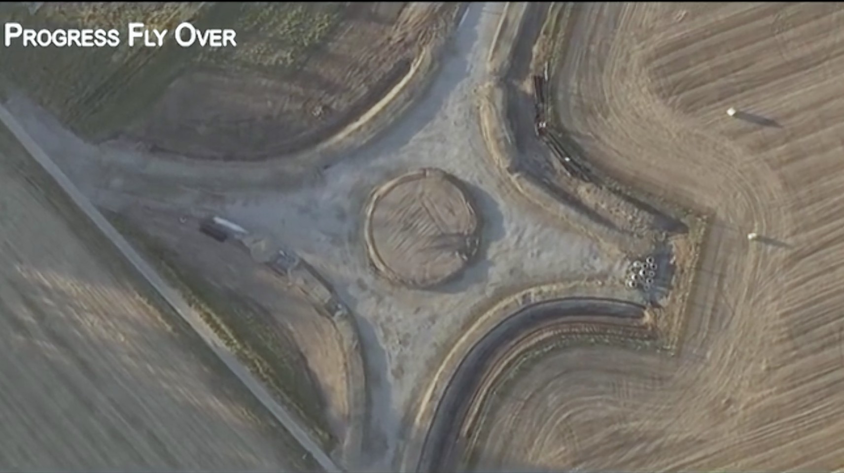
The full extent of progress has been revealed by new drone footage flying the length of the link road.
The aerial footage was captured by a Highland Council engineer and will now be updated monthly to keep the people of Inverness abreast of progress.
The flyover also shows developments on a key feature of the new road – the bridge crossing of the River Ness.
Contractors on the site are due to hit a major milestone on the project in the coming days when they finish their work in the river itself.
The council’s director of infrastructure Colin Howell said that they had a window between July and mid-October where they were allowed to work in the water.
Progress has been good enough that work on the bridge can now continue without workers needing to be in the river.
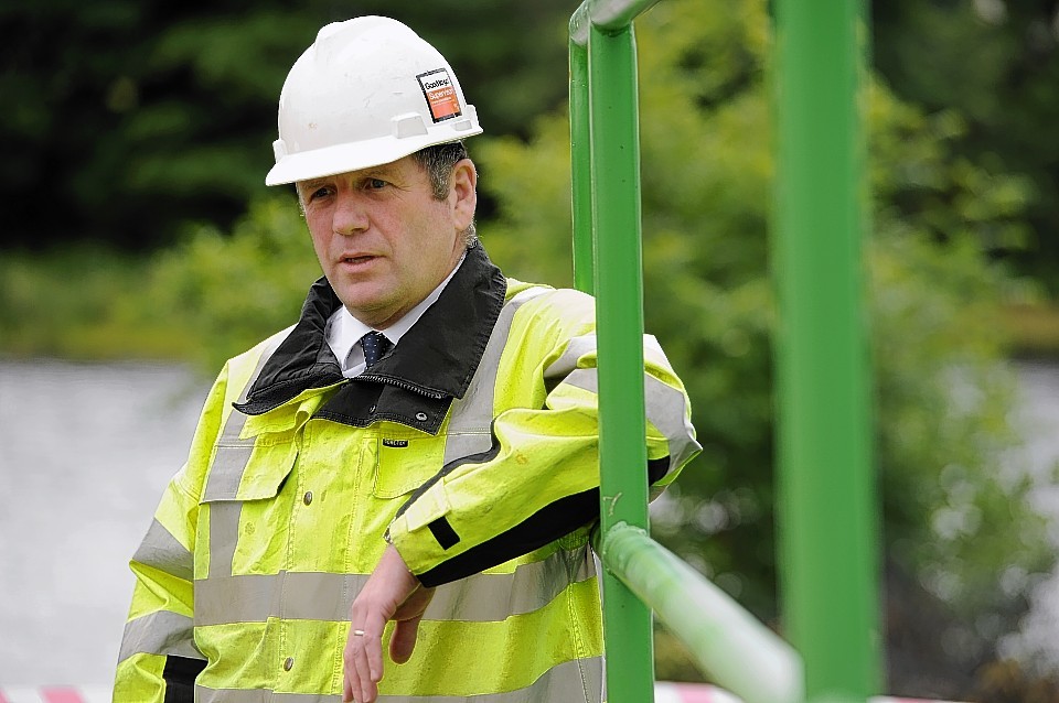
Mr Howell said: “I would say that work is progressing reasonably well and we are largely on programme.”
He said there had been a “little excitement” over sheet piling in the river, though the issues have largely been resolved.
He added: “Now I would say the road exists in it’s entirety, apart from a few areas around the bridge where it is still indistinct.
“We’ve actually started to lay black-top in some areas which can see in the video.”
The drone is also being used to flyover the new Torvean Golf Course, which is currently under construction.
The existing course will eventually be demolished to make way for the road, which will eventually link the A82 Fort William to Inverness road with the Southern Distributor Road near Dores Road.
As well as the new low-level bridge over the river, a swing bridge will also be added to cross the Caledonian Canal.
The road has been designed to take traffic away from the city centre – as well as opening up new land to the west of Inverness for development.

