Orkney and Shetland and the northern tip of the mainland are the areas being hit hardest by the southern fringe of the Boxing Day storm.
An amber “be prepared” weather warning is in place for the Highlands and Northern Isles on Monday, with lesser yellow warnings issued for much of the rest of Scotland where winds are reaching 50-60mph.
The latest weather front is following a similar track to Storm Barbara, which left around 25,000 homes in the north of Scotland without power on Friday.
The Met Office said wind speeds of 85mph were affecting Shetland on Monday morning.
The gusts were due to rise to 90-95mph, with Orkney to face peak speeds of 75-80mph.
Met Office duty forecaster Matt Roe said: “It’s pretty windy elsewhere. We’ve got around 60mph on the west coast. Elsewhere, it’s a pretty blustery day, up to around 40mph, maybe 50mph.
“We’ve got some fairly heavy showers too and these are falling as snow across central and northern parts of Scotland. There are some fairly heavy snow showers across the Highlands as well.
“It’s basically a cold windy day across Scotland with a mix of everything. There’s frequent lightning as well with some of those showers in the north.”
Travellers have been urged to check for any disruption before setting off.
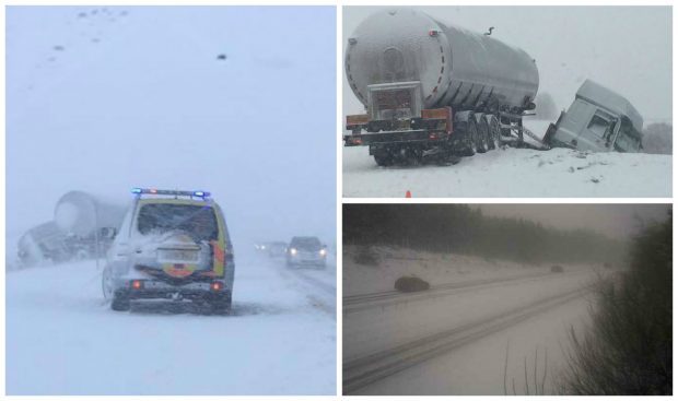
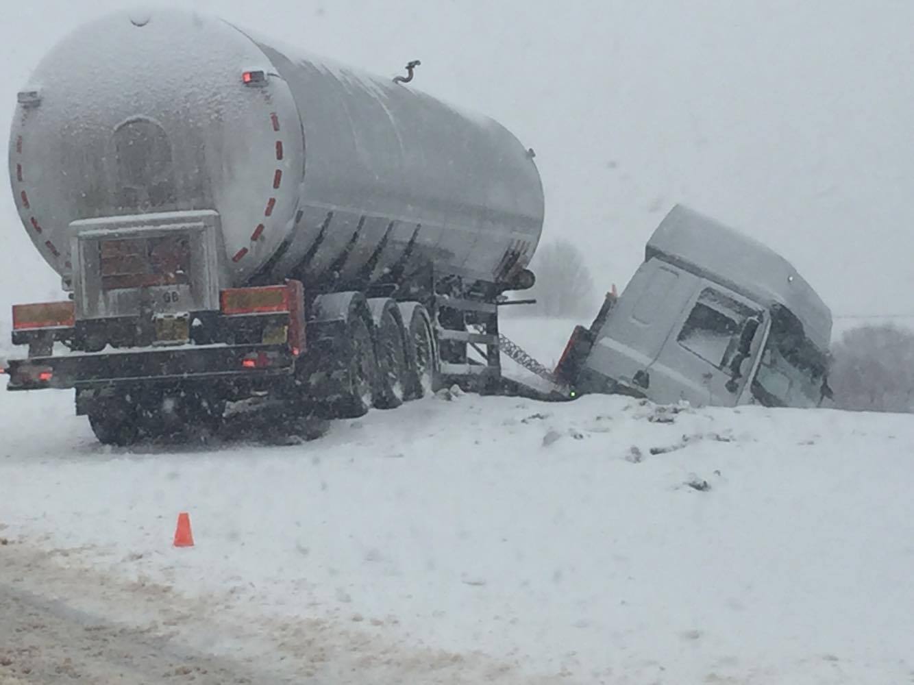
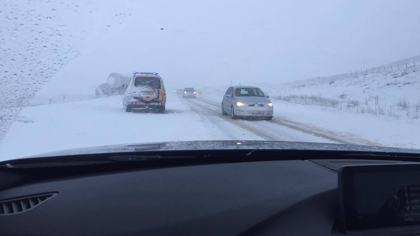
A section of the A9 dual carriageway was partially blocked this morning after a tanker jack-knifed in the blizzard conditions.
The accident happened just south of Dalwhinnie shortly before 11.40pm.
A police spokeswoman said the tanker driver was unhurt as a result and that there was nothing inside the tanker at the time.
The vehicles has now been recovered and is currently being taken to Invergordon.
High wind warnings were in place on bridges such as the Clackmannanshire Bridge, Forth Road Bridge, Dornoch Bridge and Erskine Bridge.
Ferry operator CalMac warned that services across the network were subject to delays or cancellation at short notice due to Storm Conor.
The Scottish Environment Agency (Sepa) had four flood alerts in place on Monday for Caithness and Sutherland, Orkney, Shetland and the Western Isles.
Alerts and warnings which were in place for more southern parts of Scotland are no longer in force.
The centre of the storm is actually north of the UK, nearer Norway.
Mr Roe explained: “We’re on the southern fringe. The southern extent of the strongest winds will be moving eastwards across more northern parts of Scotland during the afternoon. The north of Scotland will be feeling the brunt of Storm Conor, particularly the Northern Isles.”
The wintry conditions come after parts of Scotland were badly disrupted by weather in the days before Christmas.
There were also unseasonably warm temperatures on Christmas Day, with the mercury rising to 15.1C in Dyce, Aberdeenshire.
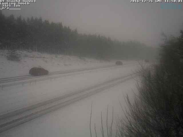
Here's what the #A9 at Slochd has looked like over the last 24hrs ⏩ on our live ? view weather station pic.twitter.com/mRlQWbLlcy
— Traffic Scotland (@trafficscotland) December 26, 2016
Scotland’s Transport Minister Humza Yousaf chaired a meeting of the Scottish Government’s resilience team on Sunday with representatives of the Met Office, Transport Scotland, Police Scotland and the Scottish Environment Protection Agency (Sepa).
He said: “Our responders in the north have scarcely had a chance to recover from these conditions but now Storm Conor is set to bring the next test during Boxing Day.
“Of course many people will be travelling to meet loved ones and spend time with their families at this time of year and we would remind the public to check before they travel and delay their journey if they have to.
“Safety must be paramount and should take priority.”


