The north and parts of the north-east will be battered by gale force winds from Monday.
The Met Office today issued a yellow, be aware, severe weather warning yesterday as strong winds are forecast to develop throughout the day, especially in coastal areas and over high ground inland.
Long-suffering residents – some who were trapped in their homes last week and have been mopping up since – will have to contend with possible wind damage.
Very few areas will escape the worst of the weather, although it will be slightly less severe in sheltered parts, such as Inverness and some of the north-west islands.
And, as schools prepare to re-open for the new term, when the predicted 50mph gales abate, thunderstorms and downpours, as well as very cold conditions, will take over.
Forecasters also say that northerly polar air would chill most of the country from today for a week, with daily highs of just 11-13C in the north.
Scotland will be colder than Moscow, which will bask in double those estimates, hitting 22C today, and 24C or higher each day from tomorrow.
A spokesman for the Met Office said: “A deep low in the North Sea will slowly move away eastwards on Monday. Gusts as strong as 50mph are expected around exposed coasts, and waves will be large.
“While such wind gusts would not be unusual in the autumn and winter, they are likely to pose greater risks in what is still the summer holiday period for some, especially those engaged in outdoor activities such as sailing or hill walking.
“Some disruption to transport is possible, for example delays to ferries, bridge restrictions and perhaps damage to trees.”
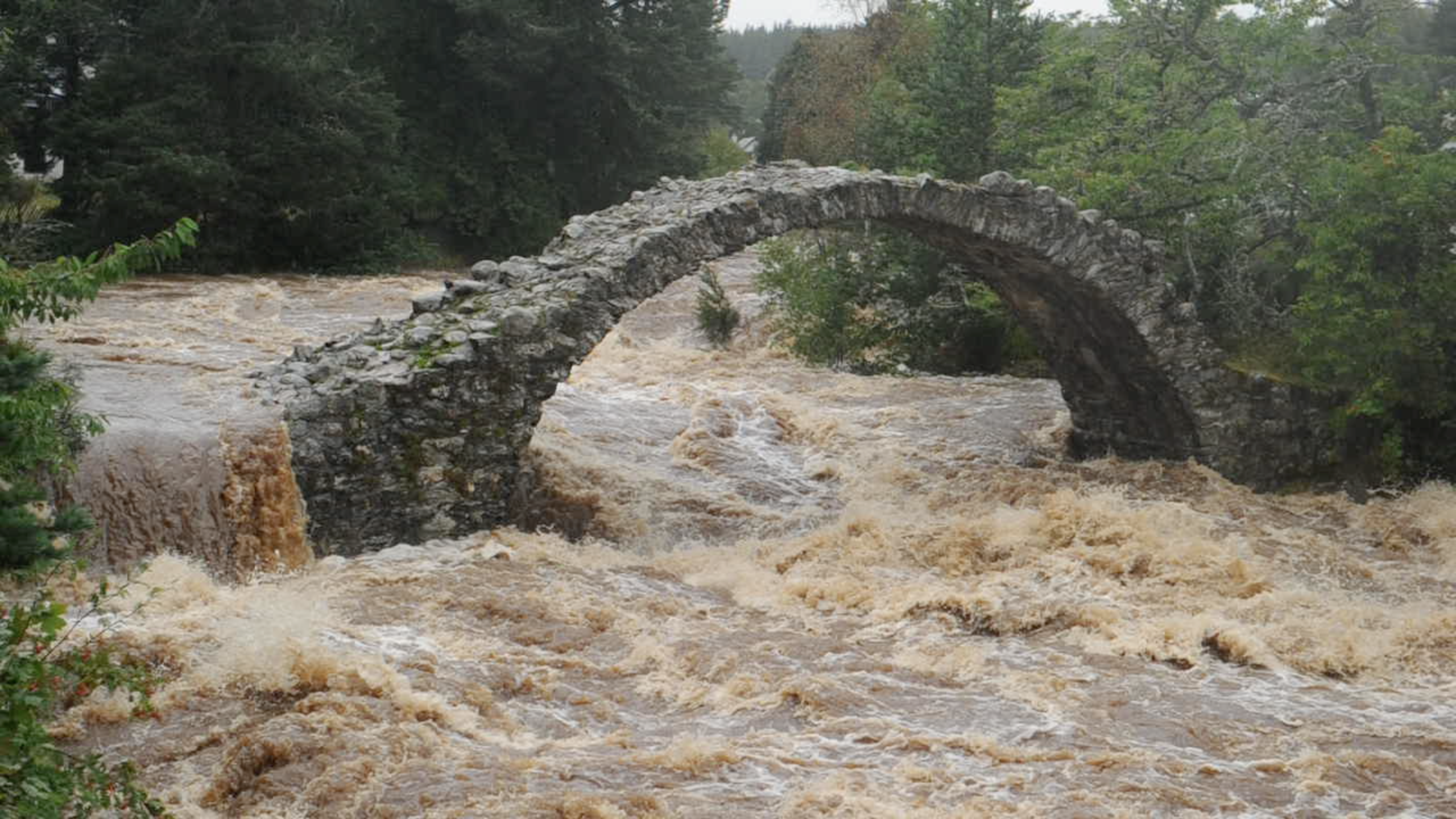
Today, and the remainder of the week, will be another trying period for some, including those who were trapped in their flooded homes last week after rivers burst their banks in Wester Ross and in Moray.
Near Ullapool, the home owners had been warned by fire and rescue officers to stay inside as water cascaded down a hill, sweeping away everything in its path, including a car and a garden shed.
There will be some respite though by the end of the week with the heavy showers becoming less frequent and brighter intervals in between.
Aberdeen Met Office forecaster Stuart Brooks said last night: “Although this week is going to be unusually cold for the time of year, with snow at the top of the Cairngorms, the winds will become less strong by Thursday.
“Towards the end of the week, temperatures will be back to normal for the time of year, and the wind will also ease off.”
