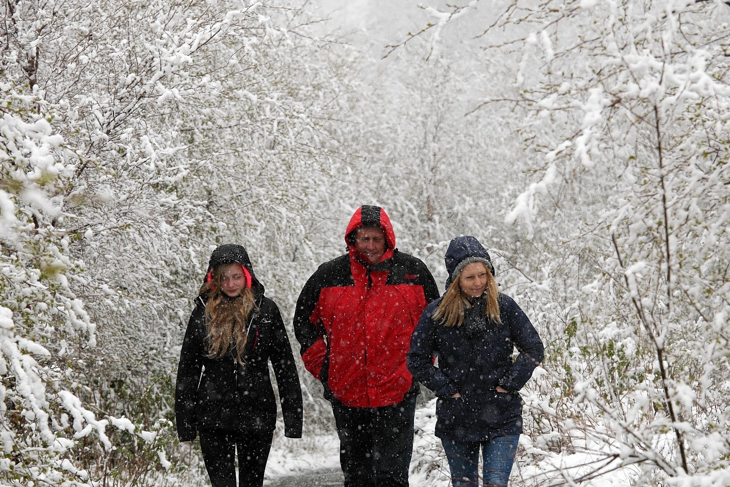
The north’s busiest road was brought to a standstill yesterday after sudden blizzards brought chaos to the Highlands.
An unexpected return to wintry weather caught many off-guard, including forecasters and roads agencies.
And there could yet be more to come after the Met Office issued a yellow “be aware” warning for more icy weather this morning.
Gritters were mobilised to patrol the A9 Inverness-Perth road after motorists reported treacherous conditions.
The section of the A9 south of Inverness was badly affected, with southbound traffic brought to a halt on the climb out of the city, while areas across the Highlands were treated to an unlikely wintry blast.
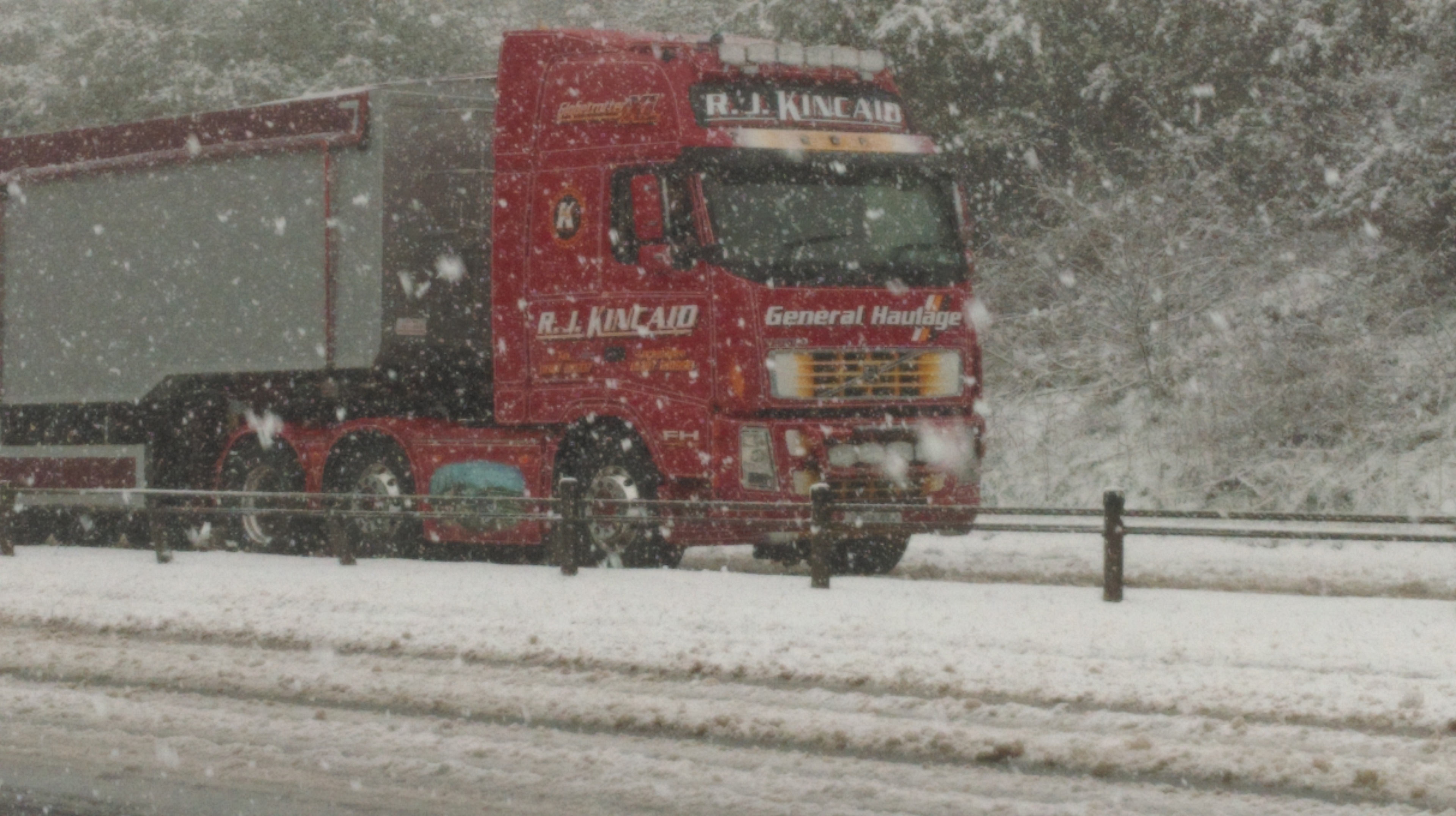
Lorries struggled to make it up Drummossie Brae south of Inverness, and there were also queues of traffic on the southbound carriageway at Daviot as HGVs and cars struggled for traction in the challenging conditions.
Police confirmed they had received “a number of reports” relating to difficult driving conditions yesterday afternoon, with the Inverness-Perth road between the Highland capital and Slochd proving especially difficult.
One woman, who was driving south from Inverness yesterday afternoon, said that conditions at Slochd were “as bad as I have ever seen”.
The Dava Moor was also affected by the weather, with two separate incidents on the A939 Nairn-Grantown road at Ferness blocking the road.
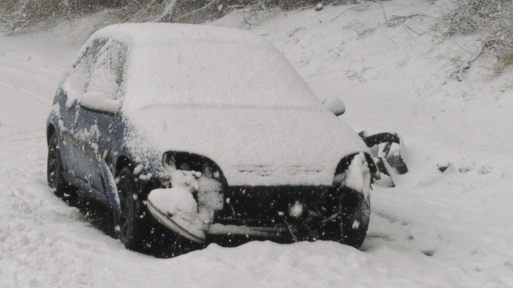
The A96 Inverness-Aberdeen road was also affected, with a woman taken to hospital after leaving the road at Huntly in Aberdeenshire.
The snow was so bad that an air ambulance helicopter was unable to take-off after landing to collect the casualty.
The wintry blast followed several days of fine weather, with temperatures peaking at more than 20C in the north during the past week.
The fire service had dealt with a spate of wildfires because of the dry conditions.
Heavy hail preceded the snow, with reports of car alarms being set off by the flurries in Inverness.
This was then followed by snow showers in the middle of the afternoon which caught even Met Office forecasters by surprise.
A spokesman said: “I think it’s fair to say that spring has been put on hold for this week.
“We were expecting wintry showers, including some snow, but I think it’s fair to say that the weather was at the upper end of the scale which we were expecting.
“It was certainly quite severe in short bursts in certain areas.
“Unfortunately some of the areas which was affected was the higher parts of the A9 such as Daviot and Slochd which is probably the worst case scenario as far as disruption is concerned.”
The agency issued a warning for overnight ice to follow the sleet and snow which fell yesterday afternoon.
The yellow “be aware” warning covered most of the eastern Highlands, and warned of surface water and lying snow turning to ice overnight, potentially leading to difficult driving conditions this morning.
Temperatures were expected to drop to -4C in some rural parts of the Highlands and north-east, leading to the potential for icy conditions.
A spokeswoman for Bear Scotland said: “Our team has been monitoring and treating routes throughout the afternoon and will continue to do so whilst these changeable wintry conditions remain.
“Some snowfall is expected overnight and into tomorrow and we will continue to monitor the conditions from our control room, treating routes as required.
“We encourage motorists to drive with care.”
The Met Office spokesman said the weather is expected to stay “on the wintry side” for the rest of this week.
He added: “Inverness and the central Highlands should see a reasonable morning and clear skies, although wintry showers are likely to spread in from the afternoon.
“There will definitely be snow at higher levels and possibly down fairly low as well.
“If you don’t see snow then there will definitely be sleet and hailstones.
“That’s kind of going to be the pattern for the rest of the week, although the snow risk will diminish.
“Temperatures will struggle to clear 9c and brisk winds will make it quite a lot colder.”


