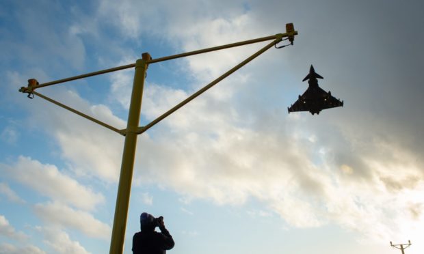
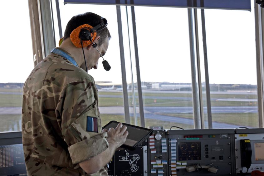
Specialist radar teams at RAF Lossiemouth already trained to track enemy aircraft now have a new tool to monitor another aerial threat – birds.
Hundreds of birds are sucked into jet engines every year across the UK.
Now military bosses have commissioned a 12-month trial to use a new form of radar to track avian movements.
Bird risks at RAF Lossiemouth
Bird strikes can pose extreme risks to aircraft. In 2009 a jet airliner was forced to ditch in New York’s River Hudson after hitting a large flock.
Increasing activity at the Moray military base had raised concerns about the dangers to the Typhoon and Poseidon aircraft operating there.
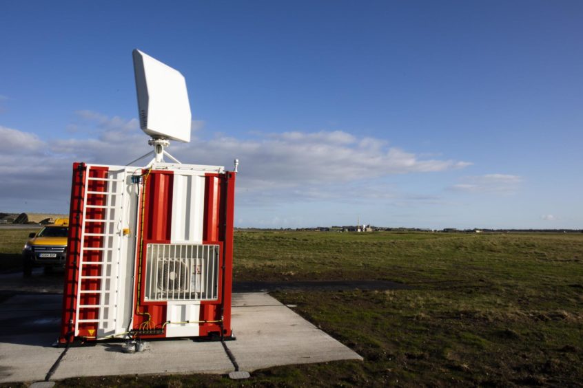
RAF Lossiemouth was selected to trial the commercial Robin 3D Max avian radar system due to the amount of birds on the coast.
Project manager Squadron Leader Douglas Timms said: “RAF Lossiemouth has a unique bird strike risk due to being a costal airfield surrounded by farm land containing a large number of pig farms.
“There are high numbers of corvids and seagulls in the vicinity of the RAF base and every winter about 10,000 geese arrive in Findhorn Bay.”
“This high level of activity, combined with the CAA’s statistic that around 80% of confirmed bird strikes in the UK happen at, or in the vicinity of, airports highlights the value of having an in-depth understanding of the avian picture.”
Radar aims to reduce disruption to RAF Lossiemouth operations
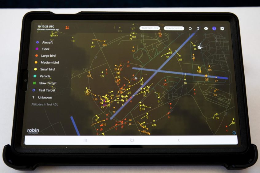
The bird radar system provides real-time information of avian activity up to about 2,300ft across a distance of about six miles.
The readings are then displayed on a tablet computer for personnel to monitor.
Crews will then use the information to possibly amend the direction aircraft perform circuits or task base’s Bird Control Unit to move to a specific location.
Before the bird radar became operational operations at RAF Lossiemouth had been reduced during periods of peak avian activity to reduce the chances of a bird strike.
It is hoped the new system will mean less disruption to flying in the future.
Bird radar system could be used elsewhere
The experiences of personnel in Moray during the trial will be used as research for other RAF bases that may use the system.
Flight Sergeant Peter Cowan, project lead of the rapid capabilities office, explained the operation to install the bird radar, christened Project Winchell, had been one of the quickest in the history of the base.
Crews had to examine the right location to install the commercial system so it could detect birds while allowing a hardstanding to be created as well as power and IT connections.
FS Cowan said: “It required some creative thinking and could not have been achieved in time available through traditional procurement programmes.
“The long-term aim of the trial is to evaluate and demonstrate what 1 Group may wish to generate as a full capability in future.
“This can then be brought into service through the usual competition process.”
The new system has been welcomed by air crews serving at RAF Lossiemouth.
Squadron Leader Pete Surtees, a member of the Poseidon crew, said: “I was extremely impressed with how accurate it was.
“It seemed to accurately depict, not only the number and size of the birds, but the height, location and direction of travel.”
Typhoon pilot, Flight Lieutenant Tim Looseley said: “The information the tablet provides is superb. The potential now exists to declare bird state levels based on real-time data and to use that to show trends.
“Overall, a great bit of kit which will have some great implications for the base.”


