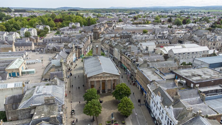
Nestled in the heart of the town, Elgin’s high street is a point of interest for all who live locally.
Although Elgin is not technically a city, it has faced the same problems as other city centres across Scotland in recent years.
Downturn, a pandemic, the cost of living and online shopping have all played a role in how the high street fares today- but what are the streets really like?
The Press and Journal’s data team, alongside reporters in Elgin, have launched a new tracker which looks at Elgin’s town centre.
We will be keeping track of the openings and closures in the area so we can better understand how Elgin is changing.
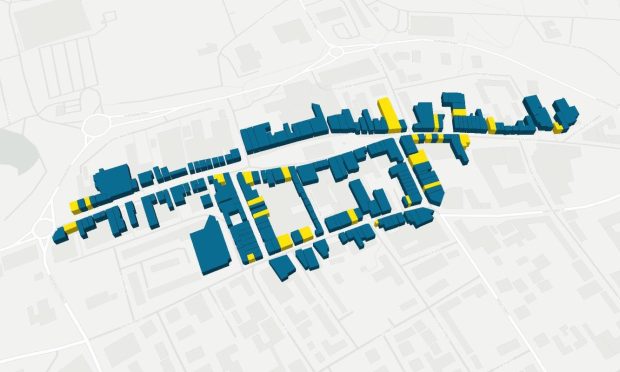
As part of the project, we’ve drawn out and mapped each unit on a number of the town’s most prominent shopping streets, to show which are currently occupied and which are vacant – and for how long.
We also previously tracked vacancy rates in the St Giles Shopping Centre, which closed on January 20, 2025. At its time of closure, 50% of the centre was vacant.
By hovering over each unit, you will be able to access further information, such as the name of the business that currently occupies the unit, as well as a description of what type of business it is.
For those that are currently empty, hovering over the unit will give information about what used to be in that site, as well as roughly how long it has been closed for.
With this data, we aim to give an overview of the high streets in Elgin, the shops that are open, and the types of units that occupy them.
Are Elgin high streets thriving?
High streets have been hit with a number of difficulties in the past few years – but they are not dead.
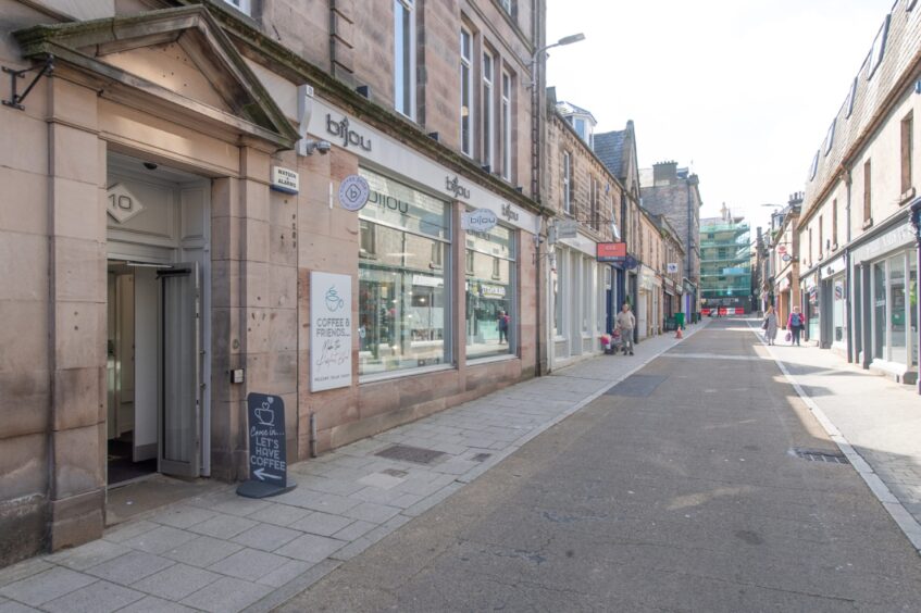
In order to understand the situation in Elgin town centre, we are tracking High Street, South Street between its junctions with Commerce Street and Thunderton Place, Batchen Street, Thunderton Place and Harrow Inn Close.
We have also looked at the vacancy rates of each street- this chart will change as businesses come into and leave each area.
The chart also shows the average vacancy rate, so you can see how a street compares to the average.
The below chart breaks down each street by the types of businesses that are currently in occupation.
Categories include shopping, food and drink, hair and beauty, health and wellbeing, banking, gambling, entertainment and other services, and although some units may fit into multiple categories, one has been picked for each open location.
Methodology
Data for our high street trackers is gathered manually, and is therefore estimated.
Each unit in Elgin town centre was drawn out by the data team, and is an approximation of size and shape. Once streets are drawn, an on-foot census is carried out to check which units are occupied or vacant, and if they are occupied, what type of unit it is.
Vacant units were then checked to see what was previously in that space, using a mixture of newspaper articles and archives, Google Maps and other various sources such as review websites. As such, some of the dates given for stores may not be fully accurate, as Google Maps data was taken from the last date given that the store was open.
Can you help us keep our tracker up to date?
All of the data included within our high street tracker is collected manually by the data team and the reporters based in Elgin, and includes units opening and closing we’ve written articles on, as well as things we’ve noticed while out on foot in the area. Our last open dates may be estimates based on the best information we could find.
But we know we might not always spot everything, or get every closure date right.
We appreciate all the support we’ve received for our trackers so far, and would love if you would like to help us keep it up to date.
If there’s anything you spot opening or closing you’d like us to know about, or if you have more accurate information on closing dates of units or what the last business to occupy a unit was, you can let us know using the form below.


Conversation