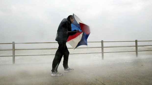
Weather warnings have been issued and Scotland could be battered by winds of up to 60mph this evening as Storm Ewan sweeps across the UK.
An area of low pressure developed to the west of Ireland early this morning, and over this evening will move across the north-east across Scotland, bringing severe gales and rainfall.
The Scottish Environment Protection Agency (SEPA) has issued flood alerts in the Western Isles, Skye, Shetland, Orkney and parts of the highlands, and is urging those living in coastal areas to be prepared.
Up to 1.2 inches of rain are expected to fall on some areas.
However, the extreme weather is forecast to clear up tomorrow, with rainclouds giving away to clear skies in some areas.
Sunshine is predicted for parts of the country tomorrow afternoon, particularly around the north-east of Scotland and Caithness.
However, icy conditions across many areas have been forecast for tomorrow morning, and heavy snowfall is expected for many areas around the west coast, including Skye, Lochalsh and Ullapool.
Aberdeen-based Met Office forecaster Peter Sloss said: “A yellow warning was issued for the west highlands for localised flooding issues, and strong winds and gusts of up to 60mph will develop this evening along the eastern side of Scotland.
“These strong winds will then leave the mainland, moving north towards Orkney and Shetland through the night.
“However, as the rain and wind begin to ease away overnight we’re then looking at more wintry weather on Monday morning, as clear skies develop and temperatures fall- meaning there will be a risk of ice.
“It will be a much quieter day, mostly dry, with some sunshine, but much colder than it has been – not a bad day at all really for this time of year.”
Tuesday is also forecast to bring colder temperatures across Scotland overnight, and snow has been predicted to fall across the central and southern highlands, with heavy rain once again across the west coast and western isles.”
