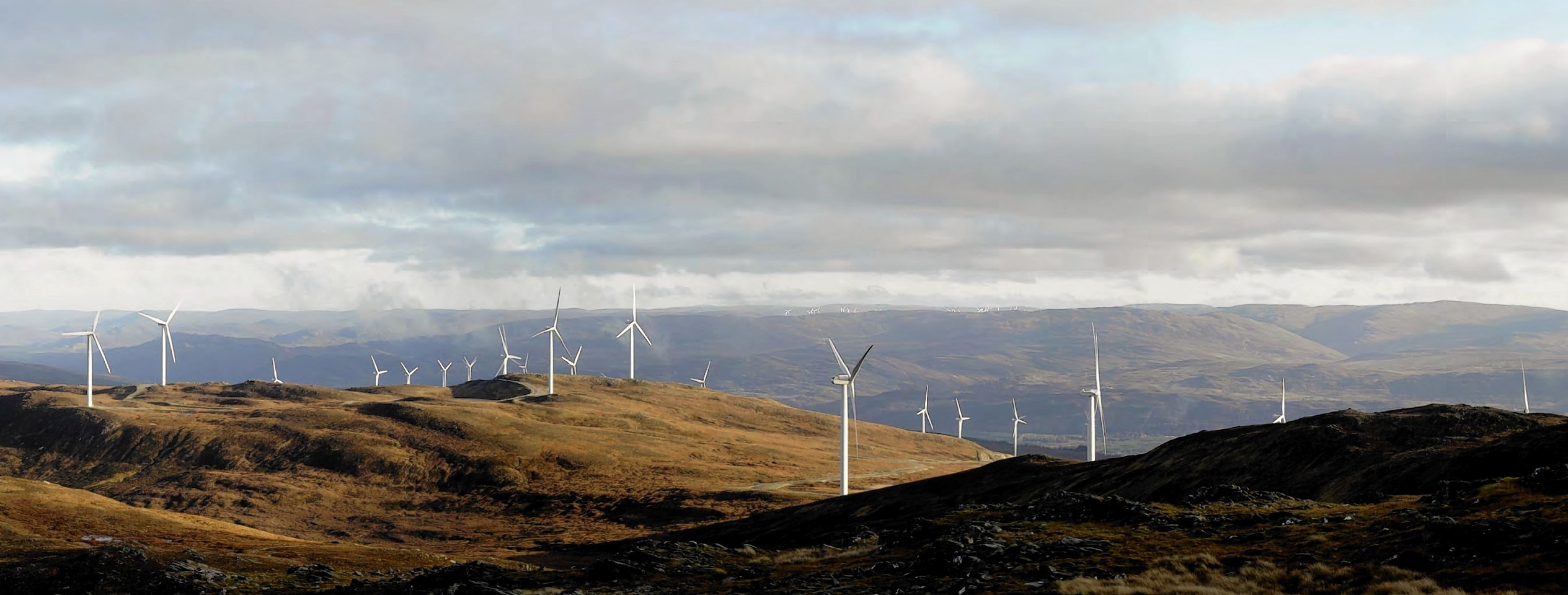
New guidelines have been produced to help developers, planning bosses and consultees get a better idea of how wind turbines will look on the landscape.
Conservation agency Scottish Natural Heritage (SNH) and Heads of Planning Scotland (HoPS) have drawn up the guidance to assist planning authorities and ensure decisions were based on “robust information”.
Visualisations – maps, photomontages and drawings – are used by developers to support planning applications and help councils and the public to consider potential landscape and visual effects.
Anti-windfarm campaigner Lyndsay Ward, of Kiltarlity in the Highlands, said she hoped the advice would make a “real difference”, but admitted she was not confident developers would treat it with respect.
The guidance standardises photographic requirements, provides better representations of proposed windfarms and specifies larger images which are easier for the public and decision makers to use.
It recommends new digital methods to make it easier to view images online and recommends that viewpoints out to 12 miles should be illustrated.
It highlights the need a so-called zone of theoretical visibility maps to show where a wind farm would be visible from.
The guidance, backed by the Scottish Government, Landscape Institute, Scottish Renewables and HoPS, will be phased in over six months.
SNH policy and advice manager Brendan Turvey said: “No visualisation can ever represent exactly what the wind farm will look like, due to different weather conditions, lighting, and turbine movement. But we think this is as good as we can recommend using current methods and technology.
“The guidance is part of our efforts to improve the assessment of wind farm applications and help get the right developments in the right places.
“It will ensure images are easier to use and give a clearer impression of how the wind farm would sit in the landscape.”
He added the guidance would make it easier to illustrate the cumulative effects of developments.
