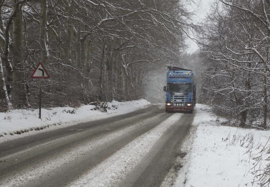
Motorists on roads in the north and north-east of Scotland have been warned to expect “difficult conditions” today with snow expected to fall in the early hours of the morning.
The Met Office has issued a yellow warning across the Grampian region, which will be in effect from 4am until 10am today,
A warning is also in place for The Highlands and the Northern and Western Isles.
A band of rain is expected to pass across Scotland, falling as snow on higher ground overnight.
The snow is only expected to settle about 984ft but showers at a lower level are expected to become thicker later in the day.
A Met Office spokesman said: “We have a warning period overnight, but it is expected to clear this morning.
He added: “A cold front will push southwards across northern Scotland overnight introducing colder air and more wintry conditions, chiefly above 300 metres where 1-4 cms of accumulations are expected.
“Across Shetland, the snow levels are likely to be lower with 1-2 cms possible to low levels briefly.
“People may see some wintry stuff at lower levels, but there will mostly be showers.
“At around 2pm today, these are likely to get heavier and may start to settle.”
The northerly wind passing over the region is likely to mean that people really feel the cold.
The daytime maximum temperature expected across the region is likely to be between 6 and 7C but the Met Office spokesman added it would probably “feel colder” as a result of the wind.
Residents of Braemar will find the mercury is likely to fall as low as 0C.
The re-emergence of winter weather in the north and north-east is likely to be short-lived as all the snow is expected to be gone by the end of tomorrow.
