Snow and ice will continue to cause travel chaos for much of the north and north-east over the next few days, with multiple new weather warnings issued.
Since Monday, December 30, the weather service has warned of snow, ice and heavy rain – including an amber rain warning in the run-up to New Year.
Heavy rain has led to flooding issues across the central Highlands and in areas along rivers such as the Spey and Nairn. Coastal roads were also affected by flooding.
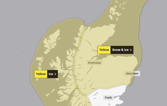
The Met Office has now issued another yellow weather warning for snow and ice, which will last from 4pm until 10am on Friday, January 3.
Areas affected include Aberdeenshire, Moray, Inverness, the Cairngorms, Caithness and Sutherland.
In addition an ice warning has been issued for much of the West Coast from will last from 5pm until 10am on Friday.
36 hours of ‘heavy snow’ incoming
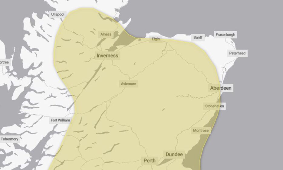
The bad weather will continue into the weekend with another yellow warning for snow.
The Met Office is forecasting “heavy snow” lasting for 36 hours from midnight on Sunday, January 5, until noon on Monday, January 6.
Areas affected include much of Aberdeenshire, bar coastal areas, the Cairngorms, Moray, the central Highlands and Inverness.
Our reporters are bringing you the latest weather updates as they happen.
If you are affected by the weather and have information or photos you’d like to share, please get in touch at livenews@ajl.co.uk.
Roads affected by snow and ice
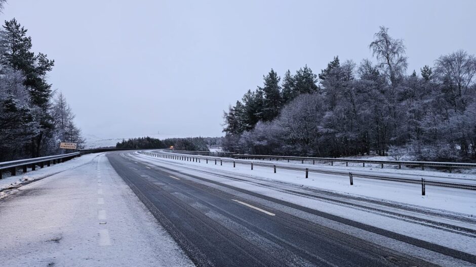
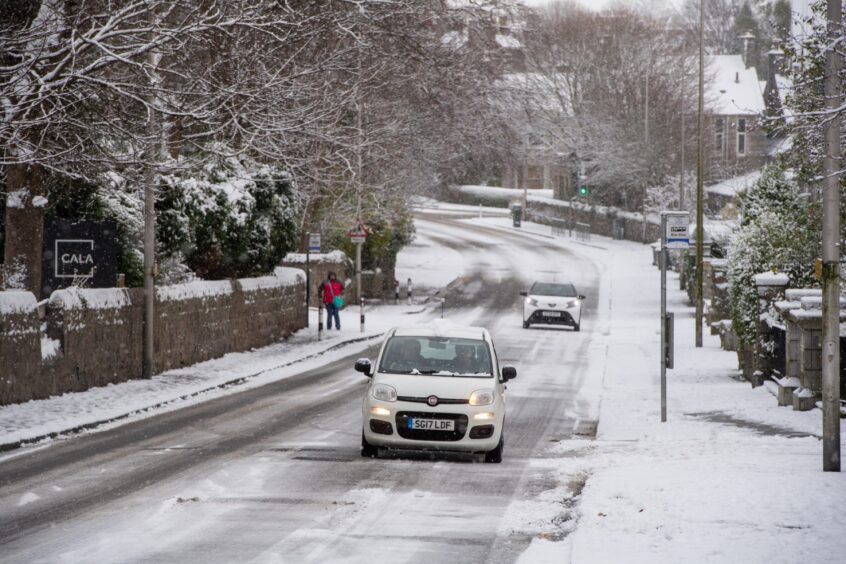
Snow is likely to affect travel on Thursday morning, according to the Met Office with ice on untreated roads.
The new weather warning reads: “Further snow showers are expected at times, with a band of more persistent sleet and snow moving southwards later on Thursday afternoon and through the evening. 3 to 7cm snowfall is likely in places, whilst 10cm or more is possible above 3metres.”
Police confirmed driving conditions in Aberdeenshire were “very poor”.
“Driving conditions are currently very poor in the South Aberdeenshire area, particularly around Braemar and Ballater.
“Please consider if your journey is absolutely necessary and if travelling is required pay attention to forecasts and drive according to the conditions.”
Aberdeenshire Council confirmed their team of gritters were out helping to greet roads across the north-east.
To check if your journey is affected by snow, visit Traffic Scotland.
Disruption on the railways
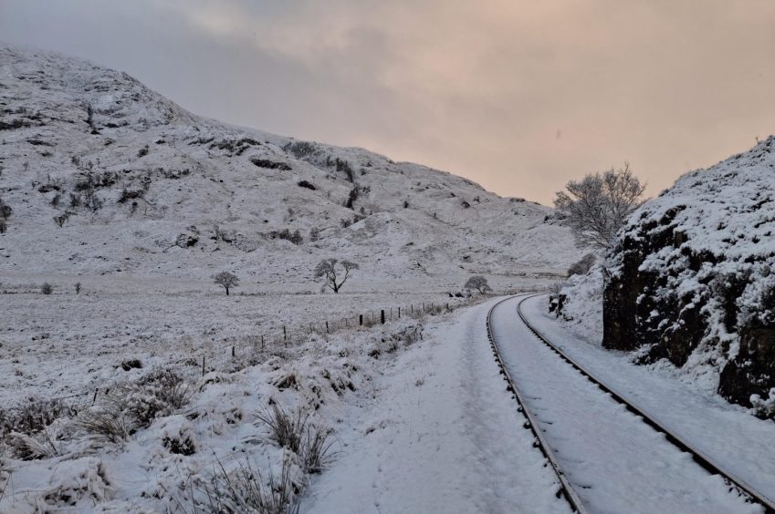
Network Rail has been working to clear incidents on the rail network over the past few days using helicopter to survey the railway lines.
As of 1pm on Thursday, January 2, Network Rail has inspected and found no incidents on both the Highland Main Line and the West Highland Line.
The Highland Main Line was previously affected by fast-flowing flood water in the Gynack Burn near Kingussie.
However, following inspections Network Rail is working to restart trains services along both routes.
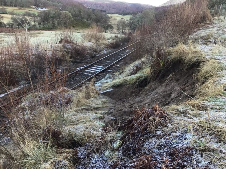
However, the Far North Line remains closed, due to several landslips along the track.
At one time on December 31, Network Rail crews were having to deal with more than 15 separates obstructions along the route between Inverness and Thurso.
ScotRail is advising travellers to check their website for the latest updates to services.
Flood warnings cease across the Highlands
The Scottish Environment Protection Agency (Sepa) has issued dozens of flood warnings in the past few days.
While some areas remain flooded and water logged, Sepa is no longer enforcing flood warnings in heavily-hit area like Aviemore, Kincraig and Spey Valley.
However, areas such as Speyside, Easter Ross and the Great Glen are under flood alert.
December ‘wettest on record’ across parts of Highlands and Moray
Rainfall data shows record-breaking month for Highlands & Moray
We analysed rainfall data from hundreds of monitoring stations and found December to have been particularly wet in north Scotland.
To find out more, click here.
Conversation